City University of New York
Choosing a Map Projection: In Search of a Good Map Projection
College-level geography tipsheet for developing an appropriate map projection.
Cynthia J. O'Hora
Mrs. O's House: Tree Inventory and Map Project
Canvas the neighborhood or school grounds to identify the quantity and types of trees found. Students will map out the area including all of the trees locations. Reviewing the map, students will determine whether areas may benefit from...
Science Buddies
Science Buddies: Interpreting Area Data From Maps vs. Graphs
Graphical methods of data presentation are a key feature of scientific communication. This project asks the question, "What's the best way to compare the land area of states: a map or a bar graph?" You'll be measuring performance on two...
E Reading Worksheets
E Reading Worksheets: The Odyssey
In this learning module, students will engage in a deep study of The Odyssey. Worksheets, tests, and map projects are provided to reinforce comprehension of Homer's epic poem, The Odyssey. This module is designed to support Tier I, Tier...
E Reading Worksheets
E Reading Worksheets: The War of the Worlds
In this learning module, students will engage in a deep study of H.G. Wells' The War of the Worlds. Worksheets, tests, and map projects are provided to reinforce comprehension of The War of the Worlds. This module is designed to support...
Other
Uintah Basin Tah Project: Dominguez and Escalante Expedition 1776
The Dominguez-Escalante Expedition of 1776 was tasked with finding a route overland from Santa Fe, New Mexico to a Spanish mission in northern California. This page provides biographies of the people on this journey as well as the maps...
Better Lesson
Better Lesson: Ocean Research Project
Research paper writing is a lofty goal for kindergarten students, but this lesson will expose them to the process without being overwhelming. Students will divide into teams to learn about ocean creatures and then write a research paper...
Science Buddies
Science Buddies: Locating the Epicenter of an Earthquake
When an earthquake happens, how are scientists able to determine the original location of the quake? In this project, you'll use archived data from a network of seismometers to find out for yourself. You'll create your own seismograms...
TeachEngineering
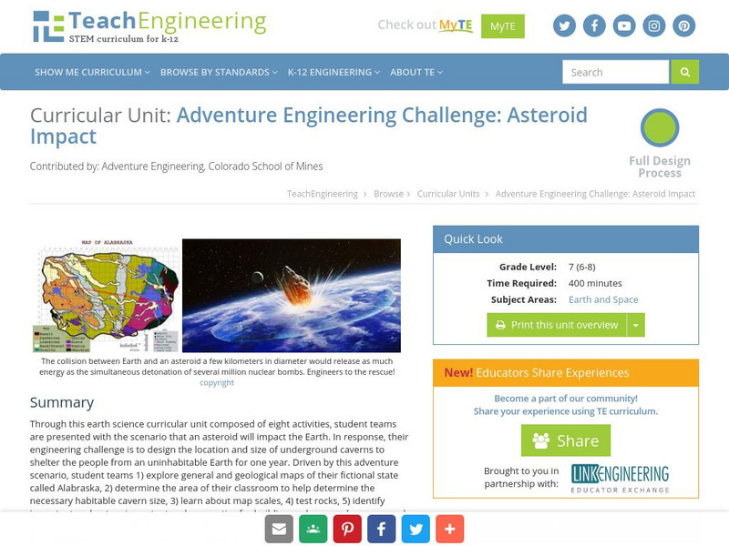
Teach Engineering: Asteroid Impact
Asteroid Impact is an 8-10 class long (350-450 min) earth science curricular unit where student teams are posed with the scenario that an asteroid will impact earth. They must design the location and size of underground caverns to save...
Science Buddies
Science Buddies: Ozone Depletion
The ozone layer is important for blocking most of the harmful radiation that comes from the sun. You can find maps of the ozone layer and compare different regions of the globe for ozone coverage. Some scientists think that aerosols in...
Alabama Learning Exchange
Alex: Where in the World Am I?
A collaborative distance learning project on world geography.Two classrooms will interact while solving clues about "mystery" counties.
Enchanted Learning
Enchanted Learning: Christopher Columbus
Enchanted Learning offers a description of the life of Christopher Columbus (1451-1506) and his travels. Contains a global map indicating his route.
EL Education
El Education: A Tribute to Victory
High school students in Dubuque, Iowa, created this book as part of a learning expedition on World War II. In pairs, students conducted extensive interviews, asking veterans to share personal accounts of their experiences during the war....
EL Education
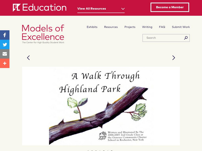
El Education: A Walk Through Highland Park
This book was created by 2nd grade students in Rochester, New York as part of a three-month learning expedition on animals and habitats called, "A Walk Through Highland Park. Students spent time in their local park doing fieldwork making...
Alabama Learning Exchange
Alex: An Exploration Into Finding Slopes of Inclines
Students will work in small groups to analyze a topographical map of the Fiery Gizzard hiking trail on the Cumberland Plateau in southeastern Tennessee. They will use the map key to determine distance traveled and elevation gained to...
Other popular searches
- 3 Different Map Projections
- Map Projections Worksheets
- Different Map Projections
- Map Projections Cylinders
- Globe and Map Projections
- Types of Map Projections
- Map Projections Explanation
- Map Projections Cyclinders
- Map Projections Mercator
- Pacific Projection Map
- Map Projection Lesson Lans
- Robinson Projection Map


