Other
Edte.ch: Maths Maps
Maths Maps is a collaborative project where participants use Google maps to choose a location within one of the cities highlighted, then create a Math problem about the site. The problems are marked on the map with various colors...
University of Nottingham
Mathematics Assessment Project: Modeling Population Growth: Having Kittens
This lesson unit guides students in developing strategies for modeling problems. The task focuses on investigating a cat shelter's claims about the rate of cat population growth. The unit includes a full lesson plan, examples of student...
American Geosciences Institute
American Geosciences Institute: Earth Science Week: Places on the Planet: Latitude and Longitude
Students learn how citizen scientists involved in the Geological Society of America's EarthCaching project use GPS technology and latitude and longitude coordinates to find special places on the Earth.
Tramline
Virtual Field Trip: Temperate Forest Biome
Travel with your students on a Virtual Field Trip to learn about Temperate Forest Biomes. You will also discover many informative and interactive websites.
Better Lesson
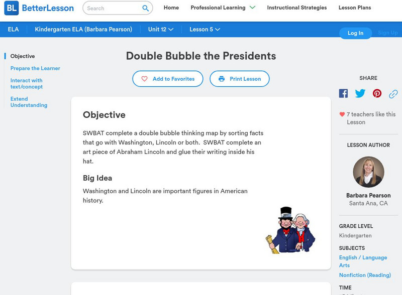
Better Lesson: Double Bubble the Presidents
Students will complete a double bubble thinking map by sorting facts that go with Washington, Lincoln or both. Also included in this plan is an art project, worksheets, and video of the lesson in action. Great activity to use after...
Other popular searches
- 3 Different Map Projections
- Map Projections Worksheets
- Different Map Projections
- Map Projections Cylinders
- Globe and Map Projections
- Types of Map Projections
- Map Projections Explanation
- Map Projections Cyclinders
- Map Projections Mercator
- Pacific Projection Map
- Map Projection Lesson Lans
- Robinson Projection Map


