Other
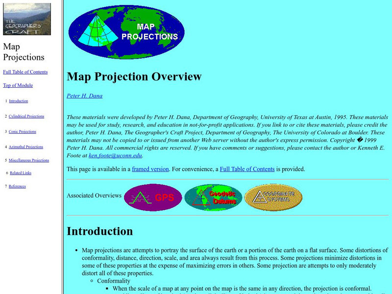
University of Connecticut: The Geographer's Craft: Map Projection Overview
An advanced overview of map projections with illustrative graphics. Created by Peter H. Dana, Department of Geography, University of Texas at Austin in 1995.
Rice University
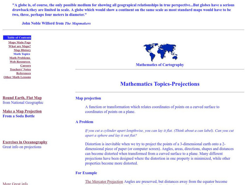
Rice University: Cynthia Lanius: Mathematics of Cartography: Projections
Understanding map projections is an important map-reading skill. Features graphics and links to examples of many different projections and an activity on making a Mercator projection.
University of Minnesota
University of Minnesota: Immigration: Projecting Maps, Making Representations
This resource compares four different world maps. The goals are to encourage critical thinking about maps as representations and to show how maps influence the ways in which one conceptualizes the world.
Science Buddies
Science Buddies: Mapping Troposhperic Ozone Levels Over Time
Ozone in the stratosphere protects the earth by absorbing harmful ultraviolet radiation from the sun. However, when ozone occurs in the troposphere, it is harmful to health. In this project you can use data from EPA monitoring stations...
Other
The Story of the Us Told in 141 Maps
This collection of United States maps includes a year-by-year. Beginning from the Declaration of Independence and extending to present-day, students will learn explore and interact with these maps that change year-by-year.
Science Buddies
Science Buddies: Science Careers: Mapping Technician
Mapping technicians, also called surveying technicians, as their name suggests, use many different tools to make maps of many kinds. This Science Buddies site lays out the requirements needed to become a mapping technician, as well as...
PBS
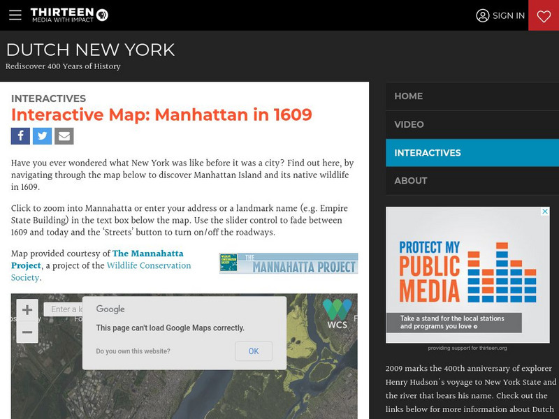
Wnet: Thirteen: Interactive Map: Manhattan in 1609: Dutch New York
Explore Dutch New York through this historical interactive map and learn what wildlife, landscape, and people lived there in 1609 compared with today. Click on 'Interactives' for additional resources, e.g., a 1626 letter from Peter...
Rice University
Galileo Project: The Galileo Project
Rice University offers an impressive online project about Galileo Galilei, his life and work. Includes a glossary of terms, a timeline, maps, pictures, primary texts, family letters, and sketches.
Enchanted Learning
Enchanted Learning: Types of Maps
Enchanted Learning provides an easy-to-understand explanation of projections. Site also provides a graph of related terms such as conic projection, cylindrical projection, Mercator projection, and more.
Cornell Lab of Ornithology
Habitat Network: Four Mapping Mistakes That Affect Data Quality
Learn the tips and tricks of successful habitat mapping for this citizen science project.
Other
Islam Project: Maps
A series of historical and near-present-day maps that span Islamic history. Starting with A.D. 750, the maps illustrate both the spread of Islam (from Medina outward to Africa, the Middle East, Europe, and other parts of the world) and...
Cornell Lab of Ornithology
Habitat Network: Map Your Community
The Habitat network wants to show how mapping is a powerful way to connect you to your community.
Cornell Lab of Ornithology
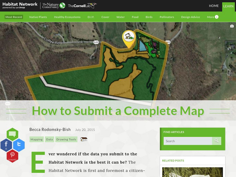
Habitat Network: How to Submit a Complete Map
Find out how to submit your local habitat map containing real data to an established citizen science project.
PBS
Pbs News Hour Extra: The Human Genome Project, a Decade Later
This article reviews advances made by medical researchers since the complete mapping of the human genetic code ten years earlier. Although the expectation then had been that cures could be found for many diseases based on this new...
Cornell Lab of Ornithology
Habitat Network: Planning Tool: Let Us Analyze Your Map So You Can Set Goals
Habitat Network is encouraging citizen scientists to fill out characteristics for backyard sites. They will analyze individuals' maps and give credit for taking certain actions.
Cornell Lab of Ornithology
Habitat Network: Adding Bird Sightings to Your Habitat Map
By mapping a local habitat, people are providing the Cornell Lab of Ornithology citizen science program with invaluable habitat information in regards to bird diversity.
University of Washington
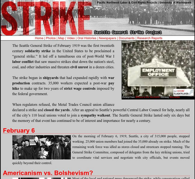
Pacific Northwest Labor and Civil Rights Projects: Seattle General Strike
A comprehensive look at the Seattle General Strike, which began in February, 1919. Here you will find an explanation of why the strike began, an interactive map of the location of important events, oral histories, contemporary newspaper...
Other
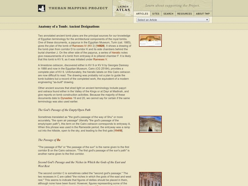
Theban Mapping Project: Anatomy of a Ancient Egyptian Tomb
A detailed analysis of the various architectural elements found in ancient Egyptian tombs located in the "Valley of the Kings."
TeachEngineering
Teach Engineering: Digital Mapping and Geographic Information Systems (Gis)
Geographic information systems (GIS), once used predominantly by experts in cartography and computer programming, have become pervasive in everyday business and consumer use. This unit explores GIS in general as a technology about which...
Texas Education Agency
Texas Gateway: Democracy Project: Honk if You Agree
In this extensive lesson, students will learn to identify issues of importance, form their opinions, and support those opinions with evidence and reason. They will also learn how to state their feelings in a persuasive manner.
Writing Fix
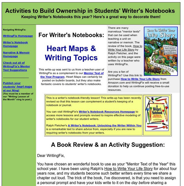
Writing Fix: For Writer's Notebook: Heart Maps and Writing Topics
A heart map is a visual representation of a student's heart, displaying topics that "live" there; these topics are ones the student would show passion about and interest towards when writing about them. In writer's workshop students...
Alabama Learning Exchange
Alex: Land Surveying Project
This project resulted from of the collaboration of a computer aided drafting teacher, Chris Bond, and a math teacher, Lee Cable, (Hewitt-Trussville High School) to provide higher math expectations in CT and real life application in...
Science Buddies
Science Buddies: Career Profile:cartographers and Photogrammetrists
Cartographers and photogrammetrists--big words for careers in mapping, both 2-D and 3-D. Watch interviews with people who use their expertise in geographic information to help make policy decisions. This Science Buddies site lays out the...
Other
Hiroshima & Nagasaki 60 Years Later
Detailed background information and a collection of resources are provided to help one understand the history of the bombings of Hiroshima & Nagasaki. Material consists of original texts, eyewitness accounts, photographs, videos, and...
Other popular searches
- 3 Different Map Projections
- Map Projections Worksheets
- Different Map Projections
- Map Projections Cylinders
- Globe and Map Projections
- Types of Map Projections
- Map Projections Explanation
- Map Projections Cyclinders
- Map Projections Mercator
- Pacific Projection Map
- Map Projection Lesson Lans
- Robinson Projection Map
