City University of New York
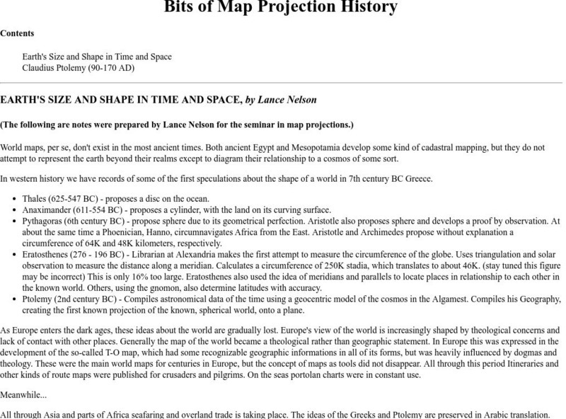
Map Projection Basics: Bits of Map Projection History
Surveys the ideas of Claudius Ptolemy (90-170 AD) in regard to the shape of the world and his influence on the history of mapmaking.
Other
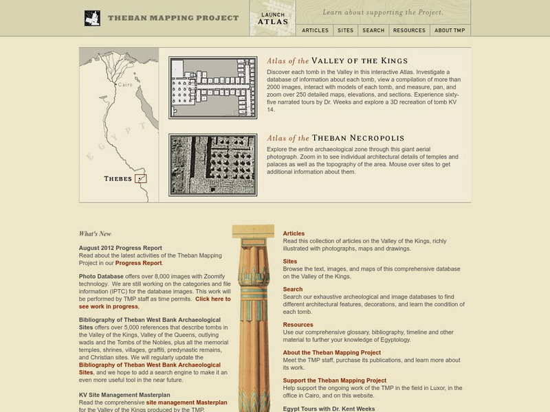
American University (Cairo): Theban Mapping Project
Explore the ancient city of Thebes at this amazing website that brings together zoomable maps, video, images, text, a glossary and timeline, and other resources to help learners understand the significance of the ongoing archaeological...
Science Buddies
Science Buddies: Making Species Maps
Conservation biologists know which places are important to protect. How nature guides know which animals can be found in which places, are made possible partly by conservation biology. This experiment allows you to discover how maps can...
Science Buddies
Science Buddies: Using Weather Balloon Data to Map Atmospheric Temperature
Snow-capped mountains make a picturesque scene, especially in summertime when the peaks are in such contrast to the warmth below. This project shows you a way to see how temperature changes with altitude using data collected twice daily...
Science Buddies
Science Buddies: Mapping Troposhperic Ozone Levels Over Time
Ozone in the stratosphere protects the earth by absorbing harmful ultraviolet radiation from the sun. However, when ozone occurs in the troposphere, it is harmful to health. In this project you can use data from EPA monitoring stations...
National Geographic
National Geographic: Mapping Landforms
Students will study landform maps of states and then create a project of their own.
Rice University
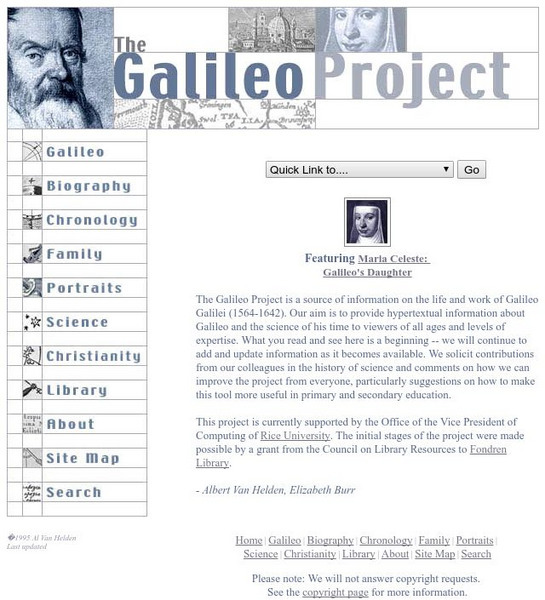
Galileo Project: The Galileo Project
Rice University offers an impressive online project about Galileo Galilei, his life and work. Includes a glossary of terms, a timeline, maps, pictures, primary texts, family letters, and sketches.
Cornell Lab of Ornithology
Habitat Network: How to Join and Add a Map to a Group
Find out how to join a group for the citizen science project, Yardmap by Habitat Network.
Cornell Lab of Ornithology
Habitat Network: Map Your Community
The Habitat network wants to show how mapping is a powerful way to connect you to your community.
Cornell Lab of Ornithology
Habitat Network: Creating Maps That Convey Critical Ecological Characteristics
Get to the heart of this citizen science project that invites citizens from all over the country to map and identify their habitat ecology.
Cornell Lab of Ornithology
Habitat Network: Planning Tool: Let Us Analyze Your Map So You Can Set Goals
Habitat Network is encouraging citizen scientists to fill out characteristics for backyard sites. They will analyze individuals' maps and give credit for taking certain actions.
Cornell Lab of Ornithology
Habitat Network: Adding Bird Sightings to Your Habitat Map
By mapping a local habitat, people are providing the Cornell Lab of Ornithology citizen science program with invaluable habitat information in regards to bird diversity.
Yale University
Avalon Project: Casablanca Conference 1943
Read the document that was issued at the conclusion of the Casablanca Conference between Franklin Roosevelt and Winston Churchill mapping out the Allied strategy necessary to win World War II.
Writing Fix
Writing Fix: For Writer's Notebook: Heart Maps and Writing Topics
A heart map is a visual representation of a student's heart, displaying topics that "live" there; these topics are ones the student would show passion about and interest towards when writing about them. In writer's workshop students...
Science Buddies
Science Buddies: Are We There Yet? Test How Migratory Birds Navigate
How do you figure out how to get places? Do you ask for directions, look at a map, or consult a compass? There are many ways for people to figure out how to travel from one place to another, but how do other animals do it? In this...
Science Buddies
Science Buddies: Ring of Fire 2: What Earthquakes Tell Us About Plate Tectonics
The theory of plate tectonics revolutionized geology in the 1960's. In this project you can explore the connection between plate tectonics and earthquakes by mapping historical seismic data.
Science Buddies
Science Buddies: Watch Out! That Wild Animal Might Be Rabid!
The word rabid often makes people think of an animal that is extremely violent, crazy, and maybe even foaming at the mouth. But not all animals infected with the rabies disease fit that description. Nevertheless, it is important to avoid...
NASA
Nasa: Shuttle Radar Topography Mission
The Shuttle Radar Topography Mission, a project to collect the most accurate topographic database for the Earth, is documented at this site.
Other
Hiroshima & Nagasaki 60 Years Later
Detailed background information and a collection of resources are provided to help one understand the history of the bombings of Hiroshima & Nagasaki. Material consists of original texts, eyewitness accounts, photographs, videos, and...
Library of Congress
Loc: American Memory: Conservation and Environment
A collection of maps of historical significance which show changes in the landscape due to many factors. Included are maps showing specific conservation projects. Maps are printable.
University of North Carolina
University of North Carolina Writing Center Handouts: Brainstorming
This handout describes brainstorming as " taking advantage of your natural thinking processes by gathering your brain's energies into a 'storm.'" Learn how to use brainstorming techniques to gather ideas before you begin a project or to...
Writing Fix
Writing Fix: Smart Math and Writing
In this lesson, the poem "Smart" from Where the Sidewalk Ends, by Shel Silverstein, is used as the mentor text. Students will write a map of the poem and then analyze it to discover what happened when trades with money were made and...
Alabama Learning Exchange
Alex: Dream Vacation
This unit teaches students to plan a trip with an itinerary, remain within a budget, and work cooperatively. It is a technology-based project that combines a study of mathematics, economics, geography, and social studies.
Science Buddies
Science Buddies: Ring of Fire 1: What Volcanoes Tell Us About Plate Tectonics
The Ring of Fire is a region of volcanic and earthquake activity that surrounds the Pacific Ocean. In this project you can explore the connection between plate tectonics and volcanic activity by mapping historical data.
Other popular searches
- 3 Different Map Projections
- Map Projections Worksheets
- Different Map Projections
- Map Projections Cylinders
- Globe and Map Projections
- Types of Map Projections
- Map Projections Explanation
- Map Projections Cyclinders
- Map Projections Mercator
- Pacific Projection Map
- Map Projection Lesson Lans
- Robinson Projection Map
