Annenberg Foundation
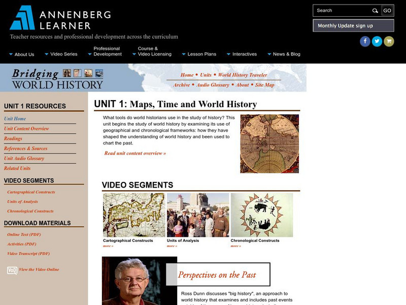
Annenberg Learner: Bridging World History: Maps, Time, and World History
Learn how map projections and chronological constructs are used in the study of world history and help us to understand and interpret the past. Part of a larger site on world history, this unit on maps offers complete reading,...
CK-12 Foundation
Ck 12: Earth Science: Map Projections
[Free Registration/Login may be required to access all resource tools.] How to use topographic, bathymetric, and geologic maps.
US Geological Survey
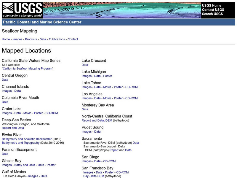
Usgs: Pacific Seafloor Mapping Project
This site describes the details of a project to map the seafloor of the Pacific Ocean. Includes images, movies, links to related information, and more.
Other
The Smithsonian: Lewis & Clark: Mapping the West
The Smithsonian's EdGate project provides this illustrated narrative site that explores the mapping of the American West accomplished by the 1804-06 Lewis and Clark expedition.
George Mason University
George Mason University: Midwest Mapping Project [Pdf]
This document details a research project in which four researchers independently created plans for the redistricting of voting districts for both state and federal legislatures, seeking to create voting districts that would meet both...
Other
U.s. Genealogy Map Project: u.s. Border/land Claims 1804 1823
A great map and a list of the acquisitions and border changes of the United States from 1804 to 1823. A concise resource showing Western expansion.
Other
Metrocosm: Your World Map Is Hiding Something
The Mercator projection is the map everyone is most familiar with, however, this map gives a distorted view of our world. Find out why and compare other map projections. Have fun clicking on the maps and changing the projections to see...
PBS
Pbs Learning Media: The August Wilson Education Project
The WQED August Wilson Education Project offers resources to educators including a teaching guide, video clips from the documentary, interactive maps, a biographical timeline, webinars, contests for students, and much more. The goal of...
The Association of the British Pharmaceutical Industry
Abpi: Human Genome Project
An in-depth look at the human genome project and its scientific and social implications. Students work through interactive learning material, understanding the ethics involved in genetic studies. There is a suggested classroom activity...
Google
Google Maps: Virtual Tour of Pergamon Museum, Berlin
Take a virtual tour through the Pergamon Museum located on Museum Island in Berlin. This world famous museum has life-size, reconstructed monuments from ancient civilizations, including the Pergamon Altar of Zeus, the Roman Market Gate...
Cornell Lab of Ornithology
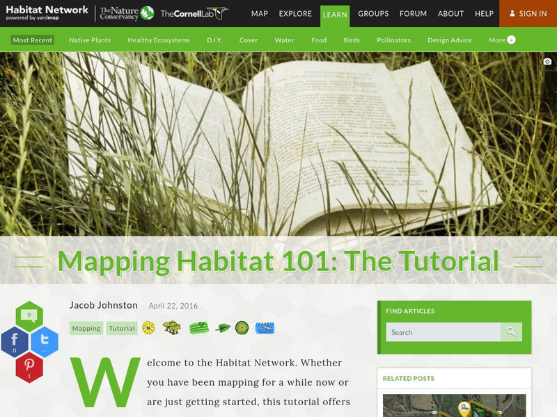
Habitat Network: Mapping Habitat 101: The Tutorial
Watch this tutorial to understand how to participate in the Habitat Network citizen science habitat mapping project.
Texas State Historical Association
Texas State Historical Association: Texas County Maps [Pdf]
An activity guide where students refer to the Texas Almanac, which is free to download, for information needed to complete assigned tasks. In this lesson plan, they research information about different counties in Texas. Assignments...
Other
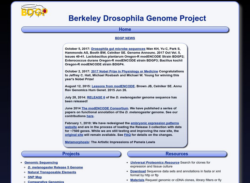
Berkley Drosophila Genome Project
This site is dedicated to the mapping of the fruit fly (drosophila) genome.
Vroma Project
V Roma Project: Forum Romanum: Clickable Map of the Roman Forum
VRoma provides a map of the Roman Forum. Click on different areas of the map to learn more about the history and architecture of the many buildings in the Forum.
Columbia University
Columbia University: Mapping Gothic France
A full description of this superb project is given here, along with a link to the actual project website. It is basically a database of all significant Gothic monuments in France and includes over twenty thousand photographs and...
TeachEngineering
Teach Engineering: Projections and Coordinates: Turning a 3 D Earth Into Flatlands
Projections and coordinates are key advancements in the geographic sciences that allow us to better understand the nature of the Earth and how to describe location. These innovations in describing the Earth are the basis for everything...
TeachEngineering
Teach Engineering: Where Are the Plastics Near Me? (Mapping the Data)
In a student-led and fairly independent fashion, data collected in the associated field trip activity are organized by student groups to create useful and informative Google Earth maps. Each team creates a map, uses that map to analyze...
TeachEngineering
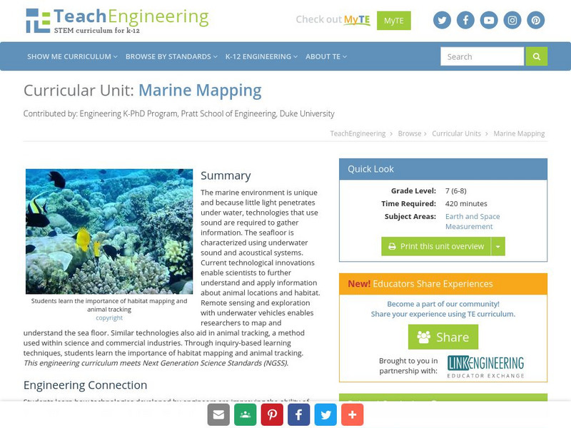
Teach Engineering: Marine Mapping
The marine environment is unique and requires technologies that can use sound to gather information since there is little light underwater. The seafloor is characterized using underwater sound and acoustical systems. Current...
Science Education Resource Center at Carleton College
Serc: State Map Poster
This is a project where students pick a state, study its landforms and data about its geology, and produce a poster that outlines how the state's geography evolved over time. An example of such a poster is provided on a downloadable...
Other
Sea Turtle Conservancy: List of Sea Turtle Tracking Projects
Sea Turtle Conservancy is devoted to the conservation and tracking of sea turtles, this site links found along the left menu. Join a group, follow a tagged turtle via maps, learn about the challenges faced by the sea turtles, and the...
Stanford University
Stanford University Library: Hart Project
Explore the collection of 364 photographs which are plotted within this 3-D map experience recreating Alfred A. Hart's journey along the Central Pacific Railroad. The goal of his 1860s expedition was to solicit investment in the...
Other
Herculaneum Conservation Project: Herculaneum Panoramas
A virtual tour of Herculaneum, one of the towns destroyed when Mount Vesuvius erupted in 79 AD. Click on the blue dots on the map, or the tabs on the left to access the virtual tour of the excavated site.
PBS
Pbs Learning Media: Decolonizing the Map: Creating the Indigenous Mapping Collective
For many Indigenous communities, mapping plays a large role in reclaiming their lands. Mapping is not new to Indigenous peoples, in fact, some of the world's earliest maps can be seen in cave paintings or heard in the stories that have...
Other popular searches
- 3 Different Map Projections
- Map Projections Worksheets
- Different Map Projections
- Map Projections Cylinders
- Globe and Map Projections
- Types of Map Projections
- Map Projections Explanation
- Map Projections Cyclinders
- Map Projections Mercator
- Pacific Projection Map
- Map Projection Lesson Lans
- Robinson Projection Map


![George Mason University: Midwest Mapping Project [Pdf] Activity George Mason University: Midwest Mapping Project [Pdf] Activity](https://d15y2dacu3jp90.cloudfront.net/images/attachment_defaults/resource/large/FPO-knovation.png)


