Greek Gods
Greek Gods: Ancient Greece: Thespiae
This site explains where the Ancient Greek city of Thespiae, the Sanctuary of Eros (God of Love), was located and provides a map and a picture.
Other
Bernard Suzanne: Athens Map in Socrates and Plato's Time
This interesting site starts out with a map of the Agora of Acropolis. By clicking on various locations of the map, you are linked to more detailed descriptions. Scroll down below the map for an alphabetical listing of different Greek...
Other
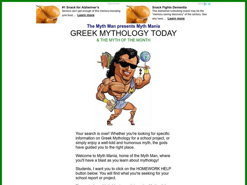
Greek Mythology Today and Myth of the Month
A large Greek mythology site focused on students and expressing a great love of Greek myth. Contains the Myth of the Month, as well as Homework Help concerning myths. Humorous and colorful.
University of Oregon
Mapping History: European History
Interactive and animated maps and timelines of historical events and time periods in European history from Greek and Phoenician colonization up to the 20th century.
University of Calgary
Greek Colonization of the Mediterranean
Interesting map of Greek colonization around 650 B.C. Also includes areas of Etruscan and Phoenician settlements.
University of Oregon
Mapping History: Late Aegean Bronze Age
A key makes this map useful for locating cities and palaces of the Late Aegean Bronze Age (1250-1000 BC) and for understanding the extent of Mycenaean culture.
Other
Ancient Greece
Impressive collection of information and imagery about ancient Greece. Find information and illustrations about ancient Greek architecture, art, history and culture. Includes maps and a timeline.
Google
Google Maps: Virtual Tour of Pergamon Museum, Berlin
Take a virtual tour through the Pergamon Museum located on Museum Island in Berlin. This world famous museum has life-size, reconstructed monuments from ancient civilizations, including the Pergamon Altar of Zeus, the Roman Market Gate...
Other
Ancient Maps: Frames of the Greek World
Understanding that perceptions of the Greek world changed over time is important to reading Greek literature. The perceptions of Homer, Hecateus, Eratosthenes, and Ptolemy are presented as map frames at this site. Consider how Homer's...
Nations Online Project
Nations Online: Greece
Offers an excellent online resource and country profile of Greece located in Southern Europe, background overview, and numerous links to comprehensive information on the country's culture, history, geography, economy, environment,...
United Nations
Unesco: Historic Centre of Naples
This World Heritage website features Naples, first founded by the Greeks in 470 BC as Neopolis. Found here are a description of its long history, links, a map, documentation, photos, and any indicators of threats to its integrity.
United Nations
Unesco: Archaeological Site of Olympia
This World Heritage website features Olympia, the site of the ancient Greek Olympics. Found here are a description, links, a map, documentation, and photos of its many archaeological treasures.
Other
The Korean War: History
Contains in-depth information about the Korean War. Includes links to Korean War maps, a Korean War timeline, sites discussing the battles of the war, weapons used in the Korean War, and a photo documentary of the war.
University of Calgary
U. Of Calgary: Territorial Expansion of the Roman World
Provides detailed description of the expansion of territory during the Early and Late Roman Republic and then Early and Late Roman Empire. Includes a variety of links to maps displaying the Roman conquests.
United Nations
Unesco: Ancient City of Damascus
Damascus in Syria was founded in the third millennium BC. Its long history reveals the influences of many ancient civilizations, most particularly the Hellenistic, Roman, Byzantine and Islamic civilizations. This World Heritage website...
Annenberg Foundation
Annenberg Learner: Invitation to World Literature: Euripides: The Bacchae
Lesson from a multimedia course on literary world classics considers The Bacchae, by Euripides. Lesson centers on a half-hour video offering multiple perspectives on the work. Read an excerpt from the play and find dozens of rich and...
Curated OER
Etc: Greece and the Greek Colonies, 734 600 Bc
Map of the Greek colonies showing which areas were colonized by different Greek races.
Curated OER
Etc: The Wars of the Greeks and Persians, 499 448 Bc
A map of Greece, western Asia Minor, and the Agean Sea region during the Greco-Persian Wars (499-479 BC). The map shows the earlier Persian expedition into Scythia under Darius I, which included Ionian allies who sailed from the...
Curated OER
Educational Technology Clearinghouse: Maps Etc: Map of Salamis, 480 Bc
A map of the region around the island of Salamis, site of the naval battle between the Greeks and Xerxes I of Persia during the Second Persian Invasion (480 BC), whose victory by the Greeks resulted in Xerxes retreating back to Persia.
Curated OER
Etc: Maps Etc: Battle of Marathon, September 29, 490 Bc
A map of the Battle of Marathon between the Greek forces under Miltiades and Persian forces under General Datis. This battle, fought on September 29, 490 B.C., was a decisive victory for the Greeks.
Curated OER
Educational Technology Clearinghouse: Maps Etc: Hellas, 550 Bc
A map of the Hellenes settlements in 550 BC before the Persian Wars, including the southern Balkan Peninsula, the islands and coastal regions of the Mare Aegaeum (Aegean Sea), the southern tip of the Italian Peninsula and Sicily. This...
Curated OER
Etc: Maps Etc: The a Etolian and Achaean Leagues, 229 b.c.
Map showing the Greek Atolian and Achaean Leagues, from about 229 B.C. This map shows the Atolian confederation of Atolia, Oetaea, Phthiotis, Locris, Phocis, Boeotia, Cephallenia, and Elis, and the Achaean confederation of Achaia,...
Curated OER
Etc: Maps Etc: Delta of the Ganges River, India, 1873
A map from 1873 of the Ganges River delta in what was at the time the Bengal province of British India. The map shows the main course of the Ganges River, the Hoogly and Hooringotta distributaries, and the Sunderbunds at the mouth of the...
Curated OER
Etc: Maps Etc: Roman Power After the Samnite Wars, 290 Bc
A map of the Roman territories on the Italian Peninsula after the Samnite Wars in 290 BC, showing the cities of Rome, Beneventum, Capua, Naples, and Ausculum, including the territories of Latium, Etruscans, and Samnites under Roman...


