Curated OER
Meet Geodesy-The Science Behind GPS
Learners discover how a datum of reference points are used to to describe a location. In this Earth Science lesson, students will simulate how a GPS accurately determines the location of reference points within a datum.
Curated OER
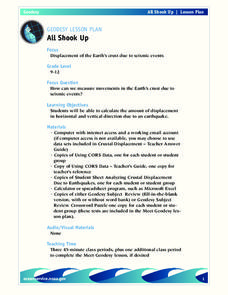
All Shook Up
Students measure movements in the Earth's crust due to seismic activity. Students calculate the amount of displacement in horizontal and vertical direction due to an earthquake.
Curated OER
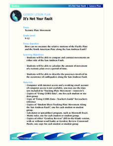
It's Not Your Fault
High schoolers determine how to measure the movement of the plates along the San Andreas Fault. Students calculate the movement of tectonic plates over a period of time and describe the processes involved in the occurrence of earthquakes...
Curated OER
Monitoring Coral Reefs
Students investigate data on coral reef monitoring in a marine protected area in the Florida keys. In this coral reef lesson plan, students use online data from a marine protected coral reef to complete a worksheet about coral...
Curated OER
All Shook Up
Pupils calculate the amount of displacement after an earthquake. In this seismic event lesson plan students research the Internet, and fill out a CORS data sheet.
Curated OER
It's Not Your Fault
Students study the San Andreas Fault, calculate its movements, and compare the movements on both sides. In this earthquake lesson students use the Internet to track movement, and calculate movement using a spreadsheet.
Curated OER
GPS Treasure Hunt
Students practice using a GPS receiver and reading directions in an on-campus field trip. Students can identify a building stone, tree, or plant at each stop depending on which area of science is being studied.


