Ducksters
Ducksters: Earth Science for Kids: Geology Glossary and Terms
Find a glossary and terms of geology in the Earth sciences on this website. This site contains definitions for words such as erosion, fossil, glacier, rocks, minerals, mantle, and topography.
Science Education Resource Center at Carleton College
Serc: The Science of Puddles
Students will look at their schoolyard and determine where a puddle will form after a heavy rain. They will map the school yard and draw chalk lines to demonstrate their predictions. After a rain children will check their predictions and...
Science Education Resource Center at Carleton College
Serc: Discovering Plate Boundaries
A data rich exercise built around four global data maps to help students discover the processes that occur at plate tectonic boundaries. The lesson is based on the jigsaw concept, mixing the students to work in different groups during...
Other
Jules Verne Voyager Jr.: Earth
A map program allows users to explore the many features of Earth. Select base maps, features, and velocities.
Texas A&M University
Ocean World: Satellite Oceanography
What does a satellite in space have to do with the oceans? Discover the answer to this question as well as uncover some interesting facts about satellites at this site.
Geography 4 kids
Geography4 kids.com: Makin' the Soil
List the five most important things to know about how soil is formed.
Science Education Resource Center at Carleton College
Serc: Sandbox Modeling
Students create landforms using layers of colored sand, then construct a topographic map and a cross-section. This is an investigation that was presented to pre-service science teachers. The format would be similar with students, with...
NASA
Nasa: Probing Earth Through the Clouds
This site from the National Aeornautics and Space Administration provides a fun activity for the subject. "Clouds often hide large areas of the Earth's surface. We can use radar to make detailed maps of Earth right through clouds or...
CK-12 Foundation
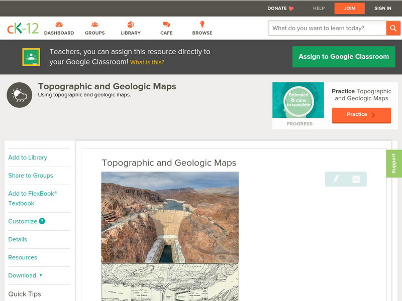
Ck 12: Earth Science: Topographic and Geologic Maps
[Free Registration/Login may be required to access all resource tools.] How to use topographic and geologic maps.
CK-12 Foundation
Ck 12: Earth Science: Elevation on the Earth
[Free Registration/Login may be required to access all resource tools.] Using latitude and longitude to find a location.
NASA
Nasa: Space Place: Make a Topographic Map
Find out what topographic maps are and how to make them. The instructions are complete with pictures to help you construct a mountain of clay and and a corresponding topographic map.
Enchanted Learning
Enchanted Learning: Topographic Map Activity
An activity to practice interpreting contours.
Incorporated Research Institutions for Seismology
Iris: Watch Earthquakes as They Occur
This fact sheet provides an introduction to an interactive display of global seismicity that allows users to monitor earthquakes in near real-time, view records of ground motion, learn about earthquakes, and visit seismic stations around...
Other
Unavco: Earth Scope
This interactive map program illustrates global-scale geodynamic processes of Earth. View and add base maps, features and velocities which can be selected in the drop down menus.
Other
Maps of the American Revolution
Although this is a "selling" site, it is a good resource that not only supplies images of maps of the times, but provides the background to the map - when it was published, what was going on at the time, etc.
Curated OER
Educational Technology Clearinghouse: Maps Etc: Mesa De Maya, 1911
A contour map from 1911 of Mesa de Mays in Animas County, southern Colorado. The map shows the typical topography of a lava-capped mesa, with steep bordering scarps and a flattish summit.
Curated OER
Educational Technology Clearinghouse: Maps Etc: Georgetown District, 1906
A contour map from a portion of the USGS Georgetown quadrangle (1906) showing the present topography of the Georgetown district of Colorado. Contour intervals are 500 feet.
Curated OER
Etc: Maps Etc: Georgetown District Upland Restored, 1906
A contour map from a portion of the USGS Georgetown quadrangle (1906) showing the assumed older topography of the Georgetown district of Colorado with older montainous upland features restored. Contour intervals are 500 feet.
Curated OER
Educational Technology Clearinghouse: Maps Etc: Boulder Plateaus, 1911
A contour map from 1911 of the topography of East and West Boulder plateaus and the northern end of the Absaroka Range in southwestern Montana.
Curated OER
Educational Technology Clearinghouse: Maps Etc: Highwood Mountains, 1911
A contour map showing the topography of the Highwood Mountains, Montana. The contour intervals are 200 feet.
Curated OER
Educational Technology Clearinghouse: Maps Etc: Little Belt Mountains, 1911
A contour map showing the topography of Montana's Little Belt Mountains.
Curated OER
Etc: Maps Etc: Great Plains and Front Ranges, 1911
A contour map of the boundaries of the Great Plains and Lewis front ranges of western Montana, showing the abrupt change in the topography. The heavy black line indicates the outcrop of the Lewis thrust plane.
Curated OER
Educational Technology Clearinghouse: Maps Etc: Ovid Quadrangle, 1911
A contour map from 1911 of part of the Ovid Quadrangle in the vicinity of Lodi, showing typical till-covered topography in central New York.
Curated OER
Educational Technology Clearinghouse: Maps Etc: Canandaigua Quadrangle, 1911
A contour map of part of the Cananaigua quadrangle in the vicinity of Ionia, showing typical moraine topography in central New York.
Other popular searches
- Contour Maps
- Contour Maps and Elevation
- Contour Maps Topography
- Contour Lines Maps
- Contour Lines on Maps
- Contour Lines Map Reading
- Reading Contour Maps
- Contour Interval Map Scale
- Worksheets Contour Maps
- Geography Contour Maps
- Isolines and Contour Maps
- Music Contour Maps


