Science Education Resource Center at Carleton College
Serc: Investigate Topography Caused by Glacial Lake Agassiz & Glacial Riv Warren
In this field investigation students will travel to Bonanza Educational center located on Big Stone Lake. The students will hike up the prairie where they will sit and sketch the topography of the land. The students will then travel down...
Climate Literacy
Clean: Impacts of Topography on Sea Level Change
Young scholars use web-based animations to explore the impacts of ice melt, specifically changes to sea level. They also use topographic maps to examine the relationship between topography and sea level change by mapping changing...
Indiana University
Indiana Univ. Bloomington: Geo Notes: Indiana's Region of Karst Topography [Pdf]
Describes the geological features of the karst topography found in Indiana.
Science Education Resource Center at Carleton College
Serc: Visualizing Topography
This module helps learners learn to identify terrain features on topographic maps. Students manipulate animations of hills, valleys, and cliffs to see the terrain from various angles. The module also provides instruction on how to read...
USA Today
How Topography Affects Weather
This fantastic multimedia site contains information about the causes of extreme and dangerous weather. The site explains how the earth's surface affects the weather and supplies incredible video clips to illustrate the concepts...
NASA
Nasa: Dynamic Ocean Topography With Current Arrows
Color-coded image of ocean currents depicts directional flow and speed of the currents across the globe.
Science Education Resource Center at Carleton College
Serc: Investigating Karst Topography and Connection to Se Minnesota Sinkholes
In this field investigation, middle schoolers will be able to observe, record, compare/contrast a variety of sinkholes located in the southeastern Minnesota area, including a significant one at the Harmony Karst Interpretive Site. The...
Science Education Resource Center at Carleton College
Serc: Examining Topography Stream Discharge Sherburne National Wildlife Refuge
Students problem solve stream discharge by estimating, measuring, and collecting data. Students graph actual contour lines, and use these measurements to hypothesize stream discharge and sediment load from a restored wetland using a dry...
Science Education Resource Center at Carleton College
Serc: Exploring Seafloor Topography
Users learn to generate and interpret graphs that show seafloor depth versus distance by using the GeoMapApp.
Science Education Resource Center at Carleton College
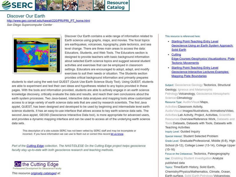
Serc: Discover Our Earth
Study earthquakes, volcanoes, topography, plate tectonics, and sea level change using graphs, maps, and movies. Engage in earth science knowledge discovery, critically evaluate the data and results, and reach conclusions about the earth...
Science Education Resource Center at Carleton College
Serc: Fathoms, Ship Logs, and the Atlantic Ocean
Students use data from ship logs to graph a profile of the Atlantic Ocean. They will rely on prior knowledge of seafloor topography, instructions on how to read a bathymetric map, and observe a demonstration where the depth of the ocean...
PBS
Pbs: The Living Edens: Borneo: From Caves to Kinabalu
View pictures, read text, and listen to information about the topography, flora, and fauna of Borneo, the world's third largest island.
Japanese Ministry of Foreign Affairs
Web Japan: Nature and Climate
Would you like to find out how Japan's climate compares to where you live? Read about the climate, topography, and natural disasters. There are many pictures and a quiz at the end.
Curated OER
University of Texas: Afghanistan: Topography
A 1986 topographical map of Afghanistan from the Perry-Castaneda Collection. You can clearly see the mountain ranges, valleys, and passes that make up this mountainous country.
Science Education Resource Center at Carleton College
Serc: Investigating How Terrain and Watersheds Are Connected
In this lab, middle schoolers will investigate the topography of a watershed and determine how it may affect physical stream parameters focusing on how terrain and water systems are connected.
Science Education Resource Center at Carleton College
Serc: Geologic History Field Investigation Minnehaha Falls
An inquiry-based geology field investigation where students investigate sedimentary geology, stream processes, topography, rock layers, and land surface features as well as study past changes in the depositional environment in the area.
Science Education Resource Center at Carleton College
Serc: Writing to Support the Theory of Plate Tectonics
This lesson helps students use images that depict earthquakes, seafloor ages, topography, and volcanoes, and then make a scientific argument supporting the Theory of Plate Tectonics.
Science Education Resource Center at Carleton College
Serc: Choosing the Best Contours
Using GeoMapApp's interactive elevation base map, experiment to find the best contours for sensibly displaying topography in different landscape regions. Young scholars use contours in different landscape regions to find contour...
Science Education Resource Center at Carleton College
Serc: Map and Compass Lab
Science Scope article presents an activity on topography and land masses that helps students learn about scientific inquiry. Students also practice making and interpreting scale drawings and learning about computation, estimation and new...
Science Education Resource Center at Carleton College
Serc: Adventures in Virtual Reality
In this activity, students look at the topography and cross-section of El Paso Texas and Edwards Aquifer in virtual reality, using historical data of the Edwards Aquifer that contains information on recharge, discharge and precipitation....
Other
Jules Verne Voyager: Earth
A map resource that allows users to view many different features of the topography, textures, and geodetic data on selections in the drop down menus.
National Association of Geoscience Teachers
Nagt: Discovering Plate Boundaries
Students work collaboratively using data maps to discover plate tectonic boundary processes. Data sets used are earthquakes, volcanoes, seafloor age, and topography.
Encyclopedia of Earth
Encyclopedia of Earth: Antarctica
Facts about the location, human geography, physical geography, climate, geology, and topography of Antarctica.
Curated OER
Etc: Maps Etc: Topography of Nineveh and Vicinity, 1881
"Nineveh, or Ninus, a very ancient and famous city, the cap.
Other popular searches
- Contour Maps
- Contour Maps and Elevation
- Contour Maps Topography
- Contour Lines Maps
- Contour Lines on Maps
- Contour Lines Map Reading
- Reading Contour Maps
- Contour Interval Map Scale
- Worksheets Contour Maps
- Geography Contour Maps
- Isolines and Contour Maps
- Music Contour Maps


![Indiana Univ. Bloomington: Geo Notes: Indiana's Region of Karst Topography [Pdf] Handout Indiana Univ. Bloomington: Geo Notes: Indiana's Region of Karst Topography [Pdf] Handout](https://d15y2dacu3jp90.cloudfront.net/images/attachment_defaults/resource/large/FPO-knovation.png)


