Curated OER
Science Kids: Science Images: Slovenia Flag
The national flag of Slovenia, a country located in Central Europe.
Curated OER
Educational Technology Clearinghouse: Clip Art Etc: Profile of Charlemagne
An illustration of the profile of Charlemagne, also known as Charles the Great, was King of the Franks from 768 to his death. He expanded the Frankish kingdoms into a Frankish Empire that incorporated much of Western and Central Europe.
Central Intelligence Agency
Cia: World Factbook: Regional and World Maps
Maps of major areas of the world can be downloaded here. The maps have excellent detail and are in color.
Other
Personal Site: The Missal
A nice description of the Catholic Mass as it was practiced during the Medieval period in Europe. The central event of the Mass was the Eucharist. The "Missal" refers to the complete service book for the mass.
Khan Academy
Khan Academy: Crossroads of the Ancient World
Because of Afghanistan's geographical position -- on the edge of central Asia with India and China beyond to the east, and Iran, the Middle East and the numerous cultures of the Mediterranean and the rest of Europe to the west -- it was...
Other
K 3 Learning pages.com: Web Resources: Middle Ages
Discover the Middle Ages through this comprehensive site. Offers lesson plans, art, projects, facts, research reports and more.
Other
The Alps of Switzerland and France
Incredible photographs of the Alps along the Swiss-French frontier feature facts about the mountain range, individual peaks, and the glaciers that characterize the nation.
Other
Literature & National Consciousness in Hungarian History
An in-depth paper on the literature of Hungary and how it "voluntarily accepted an obligation to find a solution for the 'life-and-death questions' of national history and national life."
Nations Online Project
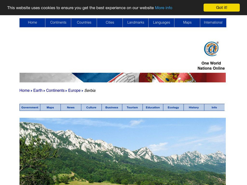
Nations Online: Serbia
Offers a virtual travel guide and country profile of Serbia, background overview, and numerous links to key information on the nations's culture, tourism, history, geography, economy, environment, population, news, government, and much...
A&E Television
History.com: Amerigo Vespucci
Amerigo Vespucci was an Italian-born merchant and explorer who took part in early voyages to the New World on behalf of Spain around the late 15th century. By that time, the Vikings had established settlements in present-day North...
Curated OER
Educational Technology Clearinghouse: Maps Etc: North America, 1858
A map from 1858 of North America showing the boundaries at the time for Russian America (Alaska), Greenland, British America or New Britain, Canada East and Canada West, the United States, Mexico, Central America, and the West Indies...
Curated OER
Unesco: Kazakhstan: Saryarka Steppe and Lakes of Northern Kazakhstan
Saryarka - Steppe and Lakes of Northern Kazakhstan comprises two protected areas: Naurzum State Nature Reserve and Korgalzhyn State Nature Reserve totalling 450,344 ha. It features wetlands of outstanding importance for migratory water...
Curated OER
Unesco: Austria: City of Graz Historic Centre and Schloss Eggenberg
The City of Graz - Historic Centre and Schloss Eggenberg bear witness to an exemplary model of the living heritage of a central European urban complex influenced by the secular presence of the Habsburgs and the cultural and artistic role...
Curated OER
Educational Technology Clearinghouse: Maps Etc: Pre Colonial Africa, 1885
A map of the African continent prior to the Berlin Conference of 1885, when the most powerful countries in Europe at the time convened to make their territorial claims on Africa and establish their colonial borders at the start of the...
Curated OER
Educational Technology Clearinghouse: Maps Etc: Pre Colonial Africa, 1872
A map of Africa showing the continent prior to the Berlin Conference of 1885, when the most powerful countries in Europe at the time convened to make their territorial claims on Africa and establish their colonial borders at the start of...
Curated OER
Etc: Maps Etc: Africa Before the Berlin Conference, 1882
A map of Africa as it was known in 1882 before the Berlin Conference of 1885, when the most powerful countries in Europe at the time convened to make their territorial claims on Africa and establish their colonial borders at the start of...
Curated OER
Educational Technology Clearinghouse: Maps Etc: North America, 1885
A map from 1885 of North America, Central America, Greenland, and the Caribbean showing political boundaries at the time, major cities, mountain systems, lakes, rivers, and coastal features of the region. Ship routes from San Francisco...
Curated OER
Unesco: Russian Federation: Historic Monuments of Novgorod and Surroundings
Situated on the ancient trade route between Central Asia and northern Europe, Novgorod was Russia's first capital in the 9th century. Surrounded by churches and monasteries, it was a centre for Orthodox spirituality as well as Russian...
Other
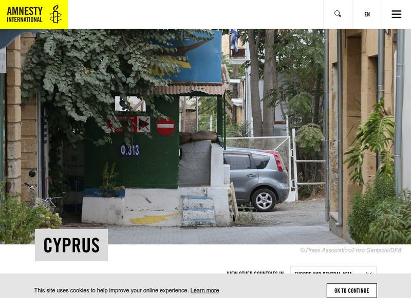
Amnesty International: Human Rights in Republic of Cyprus
The international organization, Amnesty International, is the watchdog for universal human rights. Here are the reports on Cyprus for the last three years. They provide information on missing persons, racist violence, violence against...
Other popular searches
- Central Europe Geography
- Central Europe History
- Central European Monarchs
- Central Europe Middle Ages
- East Central Europe
- West Central Europe
- Absolutism in Central Europe
- Blank Map Central Europe


