American Museum of Natural History
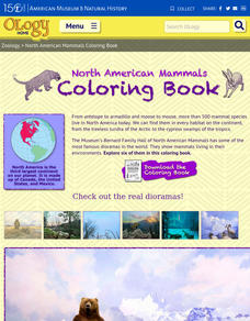
North American Mammals Coloring Book
Seven pages offer scholars the opportunity to learn about North American mammals and boost their coloring skills. Animals include brown bears, beavers, jackrabbits, wolves, jaguar, and Dall sheep
Curated OER
Geographic Regions and Backyard Geology with the USGS Tapestry Map
A beautiful tapestry map of North America is examined by geology masters. The map incorporates the topography and geology of different regions. You can purchase printed copies or a large poster of the map, or if you have a computer lab...
Curated OER
Amazing Australia (Grade K)
Students listen as the teacher reads "Possum Magic" to them. They watch the movie of the book, and create a T graph illustrating the differences and similarities between the book and movie. They research an animal and print a picture in...
Curated OER
So You Think the World Evolves Around You?
Students examine the topic of evolution as it relates to biodiversity in various remote areas of the world. They watch videos, conduct Internet research, and in small groups create a digital video report to illustrate common evolution in...
Curated OER
Frozen Seas
Learners research animal life in the frozen seas. In this researched based lesson, students use the Internet to create a poster about an animal that lives in an Arctic or Antarctic environment. Learners will focus on the behavioral and...
Curated OER
Blue Planet: Frozen Seas
Learners study the animals from the Arctic and how they have adapted. For this ocean lesson students create a poster about their given animal and present it to the class.
Curated OER
Plate Tectonics
Students simulate the three types of plate boundaries using robots. In this earth science lesson, students explain how earthquakes and volcanoes are formed. They collect real-world earthquake data and plot them on the map.


