Centers for Disease Control and Prevention
Current Cigarette Smoking Among Adults Infographic
Adult cigarette smoking has decreased in recent years, but it is still the number one cause of preventable disease and death in America. An infographic breaks cigarette smoking down by education level, geographical region, gender, race,...
Annenberg Foundation
Annenberg Learner: A Biography of America: America at Centennial 1876: Timeline
A timeline of America's history from 1500 to 1876.
InterKnowledge Corp.
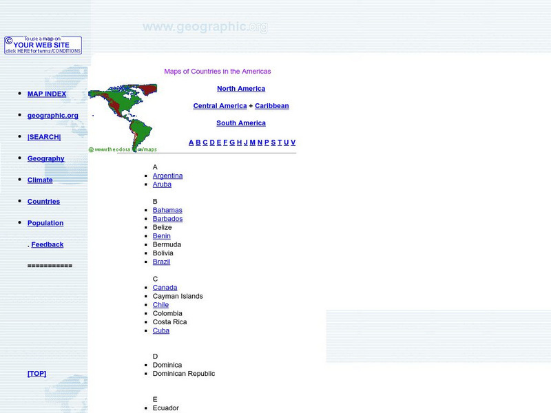
Maps of Countries in the Americas
Maps of the Americas are available on this site.
US Environmental Protection Agency
Epa: Ecological Regions of North America
A helpful map of North America which color codes its 15 ecological regions. Click on the different regions for a brief description of the area.
PBS
Amazon: South America
Map of South America in which students can use the interactive site to explore political, physical, climate and populaton features.
Houghton Mifflin Harcourt
Holt, Rinehart and Winston: World Atlas: South America
Features a map of all the countries in South America. Click on the name of a country to get a more detailed map and information on that country.
National Humanities Center
National Humanities Center: America in Class: America in the 1920s: Modern City in Art
The National Humanities Center presents collections of primary resources compatible with the Common Core State Standards - historical documents, literary texts, and works of art - thematically organized with notes and discussion...
Other
Smith College: Vistas: Visual Culture in Spanish America
A collection of photographs, artwork, and architecture of Spanish America from pre-1500 through the 1900s.
Smithsonian Institution
Smithsonian American Art Museum: Treasures to Go: Young America
A survey of fifty-seven landscapes and portraits that reveal visions of early America and its birth as a new nation as rendered by early American artists.
Duke University
Hartman Center: Emergence of Advertising in America
The Emergence of Advertising in America: 1850-1920 (EAA) presents over 9,000 images, with database information, relating to the early history of advertising in the United States.
Metropolitan Museum of Art
Metropolitan Museum of Art: Mexico and Central America, 1900 a.d.present
From the Metropolitan Museum of Art this is a timeline of the history of Mexico and Central America with descriptions, dates and relevant images.
University of Texas at Austin
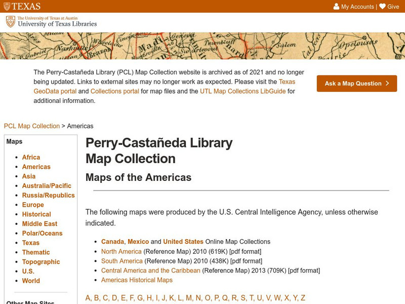
Univerisity of Texas: Maps of the Americas
A large collection of maps of all countries in the Americas including relief maps, political maps, and reference maps.
Other
Vox Media: 37 Maps That Explain How America Is a Nation of Immigrants
Excellent resource consists of a collection of maps, graphs and informational text on the demogrpahy of the U.S. explaining how America is a nation of immigrants.
Tom Richey
Tom Richey: Nativism in Antebellum America
A comprehensive slideshow illustrates the history of nativism in North America. Understand the role nativism plays in immigration as well as the Native Americans who were here long before the settlers come to the nation.
Annenberg Foundation
Annenberg Learner: America's History in the Making: Colonial Designs [Pdf]
Scroll down through this unit for teacher facilitators to Appendix E and F to find maps of colonial settlement in eastern North America in 1600 and 1660. From Oregon Public Broadcasting.
National Gallery of Art
National Gallery of Art: Selections From Audubon's the Birds of America
This National Gallery of Art site contains several very nice images from Audubon's "Birds of America" collection.
Smithsonian Institution
Smithsonian American Art Museum: Young America in Art
An historical site from the Smithsonian American Art Museum that shows the growth of America through art work by over 45 artists. This site by the Smithsonian Institute has fascinating images showing American artists depicting the...
National Humanities Center
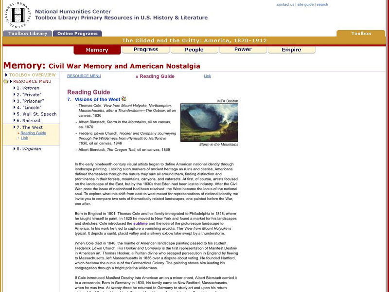
National Humanities Center: Toolbox Library: America, 1870 1912: Visions of the West
The National Humanities Center presents collections of primary resources compatible with the Common Core State Standards, historical documents, literary texts, and works of art, thematically organized with notes and discussion questions....
Annenberg Foundation
Annenberg Learner: A Biography of America: The u.s. Rail Network Around 1880
Annenberg Learner's series on Industrial Supremacy in America includes this map showing the major rail lines east of the Mississippi River in about 1880.
Other
American Journeys: Map of the Spanish Entrada Into North America [Pdf]
Map showing the routes taken by fourteen Spanish explorers in the Americas between 1509 and 1543.
University of California
Earthguide: Maps: Shaded Relief: South America [Pdf]
View a digital image of a colored shaded relief map of South America.
University of Georgia
University of Georgia: A Map of North America (1784)
A large and detailed Dutch map of North America as known to the Europeans in 1784.
eTravel Photos
Travel Photos From Chile, South America
A beautiful journal of travel photos from Chile, South America taken in 2003.
Other popular searches
- American Revolution
- Colonial America
- Native Americans
- North America
- Latin America
- South America
- Native American History
- African Americans
- South American History
- Native American Peoples
- American Revolutionary War
- American Indians


