Hi, what do you want to do?
World InfoZone
World Info Zone: Anguilla
Great resource that is full of useful information about the Territory of Anguilla in the Caribbean. Content includes geography, environment, architecture, religion, food, history, economy, arts, sports, and news. Be sure to look at the...
World InfoZone
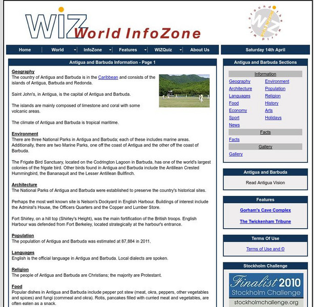
World Info Zone: Antigua and Barbuda
Great resource that is full of useful information about the Caribbean Islands of Antigua and Barbuda. Content includes geography, environment, architecture, religion, food, history, economy, arts, sports, and news. Be sure to look at the...
Countries and Their Cultures
Countries and Their Cultures: Montserrat
Provides an overview of the culture of Montserrat, a British Overseas Territory in the Caribbean. Gives basic information on topics such as geography, ethnic makeup, languages, symbolism, economy, food, customs, social stratification,...
Travel Document Systems
Tds: Dominica: History
Find out about Dominica's history from this information from the U.S. Dept. Background Notes. See how the interests of the planter class overrode representational government until Dominica was granted its independence.
Latimer Clarke Corporation
Atlapedia Online: Cuba
A complete profile of the Republic of Cuba including highlights on its geography, climate, people, modern history, economy, communications, and military. Click on the maps to enlarge them.
Latimer Clarke Corporation
Atlapedia Online: st.kitts and Nevis
A complete profile of the Federation of St. Kitts and Nevis including highlights on its geography, climate, people, modern history, economy, communications, and military. Click on the maps to enlarge them.
BBC
Bbc News: Dominican Republic Timeline
The BBC provides a timeline of key historical events for the Dominican Republic starting in 1492 when Columbus landed on the island to the present election of President Leonel Fernandez.
Countries and Their Cultures
Countries and Their Cultures: Bermuda
Provides an overview of the culture of Bermuda. Gives basic information on topics such as geography, ethnic makeup, languages, symbolism, economy, food, customs, social stratification, family life, education, religion, politics, etc....
Library of Congress
Loc: 1492: An Ongoing Voyage
An exhibit by the Library of Congress supplies diverse facts on the famous 1492 voyage. The exhibition first examines the encounter between the European explorers and the native people. They explore five geographical areas: The Caribbean...
Smithsonian Institution
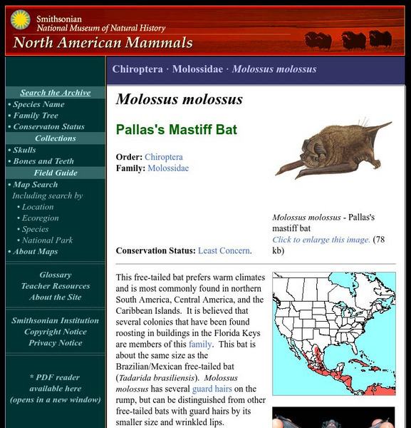
National Museum of Natural History: American Mammals: Pallas's Mastiff Bat
This free-tailed bat prefers warm climates and is most commonly found in northern South America, Central America, and the Caribbean Islands. It is believed that several colonies that have been found roosting in buildings in the Florida...
Curated OER
Caribbean Travel & Ife
The Caribbean Online site provides detailed information on the various Caribbean Islands, including the neighbors of Cuba. It is worth checking out for information on the subject.
Curated OER
Caribbean Map
The Caribbean Online site provides detailed information on the various Caribbean Islands, including the neighbors of Cuba. It is worth checking out for information on the subject.
Nations Online Project
Nations Online: Saint Lucia
A great reference source for getting a country profile of Saint Lucia. Offers background details, and numerous links to comprehensive information on the nation's culture, history, geography, economy, environment, population, news,...
Curated OER
Map of Barbados
The BBC presents a profile of the Caribbean island of Barbados featuring an informational overview, facts, political leaders, and the news media. Listen to the national anthem or watch a video on church involvement in the slave trade.
Curated OER
Flag of Barbados
The BBC presents a profile of the Caribbean island of Barbados featuring an informational overview, facts, political leaders, and the news media. Listen to the national anthem or watch a video on church involvement in the slave trade.
Ducksters
Ducksters: Geography for Kids: Cayman Islands
The history, capital, flag, climate, terrain, people, economy, and population of Cayman Islands is found on this website.
Ducksters
Ducksters: Turks and Caicos Islands
Explore the history, capital, flag, climate, terrain, people, economy, and population of Turks and Caicos on this site.
Curated OER
University of Texas: Anguilla: Political Map
This small map shows Anguilla and the few islands around it. From the Perry-Casatneda collection.
Climate Zone
Climate Zone: Climate of Jamaica
A guide to information about the weather of Jamaica displayed in tables featuring average monthly temperature and rainfall. Some general facts and a map are also included.
Ducksters
Ducksters: Geography for Kids: Saint Vincent and the Grenadines
Kids learn about the history of Saint Vincent and the Grenadines. This site explores the history, capital, flag, climate, terrain, people, economy, and population.
Curated OER
Fodors Caribbean 2006 (Fodors Gold Guides)
The Caribbean Online site provides detailed information on the various Caribbean Islands, including the neighbors of Cuba. It is worth checking out for information on the subject.
Curated OER
Association of Religion Data Archives:national Profiles:turks and Caicos Islands
Learn about religion in the Caribbean, Turks and Caicos islands, in this Association of Religion Data Archives country profile; includes general facts, history, and religious data.
Curated OER
Educational Technology Clearinghouse: Maps Etc: West India Island Chains, 1890
A map from 1890 of the West Indies region showing the highland structure of the island chains and groups, and illustrating the Caribbean Sea as an enclosed basin. This map also shows the Bahamas as a separate structure not related to the...
Curated OER
Etc: Maps Etc: Orographical Map of North America, 1911
A map from 1911 of North America, Central America, Greenland, and the Caribbean showing mountain systems (orographical), highlands, plains, and major rivers of the region. The map uses colot-contouring to show general land elevations...


