Hi, what do you want to do?
Annenberg Foundation
Annenberg Learner: Journey North: Judy Brophy: The World's Biggest Address Book
Great slideshow to learn about latitude and longitude. There are many great discussion questions as well as maps to enhance your learning.
US Census Bureau
U.s. Census Bureau: Gazetteer Files
The U.S. Gazetteer Files provide a listing of all geographic areas for selected geographic area types. The files include geographic identifier codes, names, area measurements, and representative latitude and longitude coordinates. There...
TeachEngineering
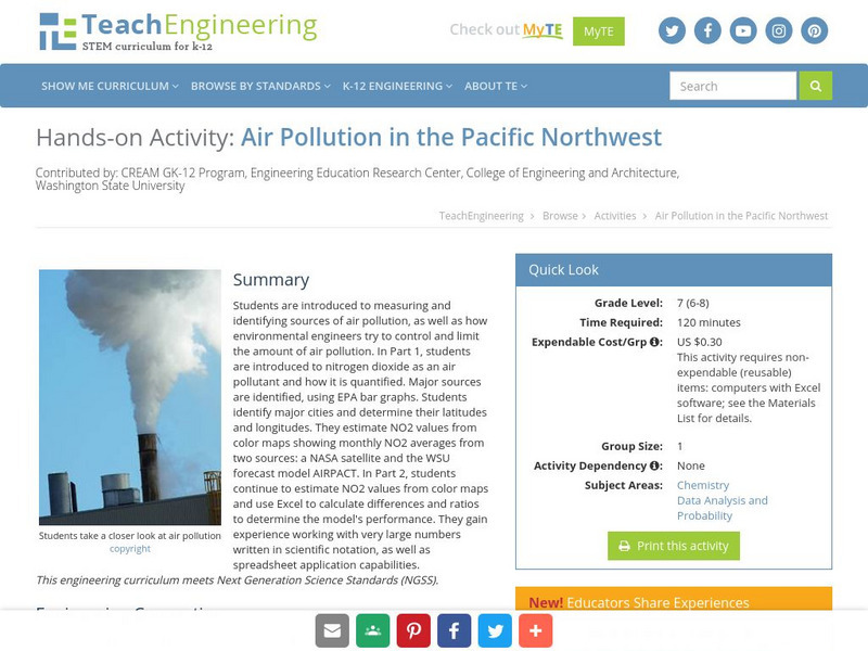
Teach Engineering: Air Pollution in the Pacific Northwest
Students are introduced to measuring and identifying sources of air pollution, as well as how environmental engineers try to control and limit the amount of air pollution. In Part 1, students are introduced to nitrogen dioxide as an air...
Quia
Quia: Latitude and Longitude Quiz
This one question matching quiz will help you learn the correct order of US Federal Indian policies. The quiz has a 15 minute time limit.
NOAA
Noaa: Follow That Hurricane [Pdf]
Utilize data from historical hurricanes and a map of areas around the Atlantic Ocean to plot the paths of these potentially devastating storms.
wikiHow
Wiki How: How to Get Longitude and Latitude From Google Maps
This article will teach you how to get longitude and latitude for any given location using Google Maps.
City University of New York
Earth and Environmental Sciences: Treasure Hunt
Looking for enrichment? Here's an online treasure hunt requiring skill with directions, distance, contour maps, latitude, and longitude. Also supplementing the activity are interactive quizzes on latitude, longitude, and other related...
Alabama Learning Exchange
Alex: Discover the World of Gps and Geocaching
This lesson will be a creative approach to learning latitude and longitude, and will introduce the learners to new technology. Seventh grade students will be given the opportunity to utilize GPS Handheld Tracking Units to understand...
Texas Instruments
Texas Instruments: Math Today Dangerous Births
In this activity, using the USA TODAY Snapshot "Dangerous births" students will explore the geometric relationships of triangles using perpendicular bisectors of the sides, bisectors of the angles and medians of the triangle. They will...
Alabama Learning Exchange
Alex: Gps Scavenger Hunt
This lesson will provide 7th and 8th grade students the opportunity to utilize GPS Handheld Tracking Units in order to understand latitude and longitude. Students will work in groups of four to complete a scavenger hunt around the...
Texas Instruments
Texas Instruments: Science Today Scientists Go Below to Find
In this activity, using the USA TODAY Infograph "Scientists go below to find," students will graph a city's location by using latitude and longitude coordinates. Students will determine the distance to travel between cities using a...
Harvard University
Harvard University: Maps and Mapping
This site is provided for by Harvard University. Students follow a map on a scavenger hunt, create a map of their classroom and their town, learn how to read topographic maps, and discover latitude and longitude in these inquiry activities.
TeachEngineering
Teach Engineering: Sextant Solutions
The earliest explorers did not have computers or satellites to help them know their exact location. The most accurate tool developed was the sextant to determine latitude and longitude. In this activity, the sextant is introduced and...
NSTATE
Net State: The Geography of New York
Learn about the geography of New York. Includes latitude and longitude information, as well as information about the highest and lowest areas of land.
Other
World Climate
Find out what the climate is like in thousands of places all over the world. You'll not only get the climate, but the latitude and longitude as well!
CK-12 Foundation
Ck 12: Earth Science: Direction on the Earth
[Free Registration/Login may be required to access all resource tools.] Using latitude and longitude to find a location.
CK-12 Foundation
Ck 12: Earth Science: Elevation on the Earth
[Free Registration/Login may be required to access all resource tools.] Using latitude and longitude to find a location.
NOAA
Noaa: Solar Calculators
This resource allows users to find sunset/sunrise calculations based on latitude and longitude for various locations. Provides a glossary of related terms and an explanation of their calculations.
TeachEngineering
Teach Engineering: Gps Scavenger Hunt
Students go on a GPS scavenger hunt. They use GPS receivers to find designated waypoints and report back on what they found. They compute distances between waypoints based on the latitude and longitude, and compare with the distance the...
PBS
Pbs Nova: Find Your Longitude
Lost at sea with only your sextant? Use your knowledge of longitude to find your place. The non-shockwave interactive activity makes the concept of longitude concrete.
Geographyiq
Geography Iq
Detailed geographical information on any country is available at this site. Within the World Map section, you can get facts and figures about each country's geography, demographics, government, political system, flags, historical and...
Other
Physical Geography: Glossary of Terms
Teachers who are looking for a complete course study in physical geography need this site. It is very well organized and colorfully designed. It contains an online glossary, study guides, links, clip art, maps etc.
ClassFlow
Class Flow: Global Knowledge Where in the World Am I?
[Free Registration/Login Required] This flipchart explains the division of the hemispheres, northern and southern, and eastern and western. The Equator and Prime Meridian are defined, as well as latitude and longitude. Students are given...
ClassFlow
Class Flow: Major Topographical Features of the u.s.
[Free Registration/Login Required] In this flipchart students will locate major topographical features of the United States of America. Website links covering Identify rivers, mountain ranges, the equator, prime meridian, and lines of...
Other popular searches
- Longitude and Latitude
- Latitude and Longitude Games
- Latitude and Longitude Maps
- Longitude and Latitude Game
- Longitude and Latitude Math
- Longitude and Latitude Lines
- Longitude and Latitude Grid
- Gps Longitude and Latitude
- Map Longitude and Latitude
- Maps, Longitude and Latitude
- Gaps Longitude and Latitude
- Finding Latitude and Longitude


