Hi, what do you want to do?
This Nation
This Nation: Proclamation of Neutrality (1793)
Read the text of the Proclamation of Neutrality issued by George Washington in April, 1793, showing his effort to keep his new nation safe from unhealthy alliances.
Other
Victorian Context: The Rise of England's Middle Class
This site from Victorian Context is an article that talks about the politics of reform in England. It gives information about how these politics effected the influence on the Victorian Literature. It is an informative article that goes...
Other
Primo History: Geographic Background and Concepts: Industrial Revolution [Pdf]
Geography played an important role in shaping patterns of early industrialization. Industrialization, in turn, played a major role in reshaping the geography of those regions in which it occurred.
Other
Nettlesworth Primary School: Child Labor and the Industrial Revolution
This resource provides information about child labor and the Industrial Revolution.
Other
Uboat.net: Fighting the U Boats: The Lend Lease Act
This site provides an abbreviated history of the Lend-Lease Act and its importance in WWII.
Robin Chew
Lucidcafe: Sir Henry Bessemer, English Inventor & Engineer
Brief biography of Sir Henry Bessemer.
Siteseen
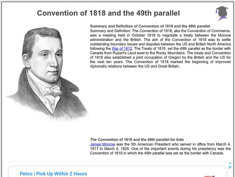
Siteseen: American Historama: Convention of 1818 and the 49th Parallel
Learn about the Convention of 1818 when the 49th parallel was set as the border with Canada and established joint occupation of Oregon with the British for ten years.
Curated OER
Educational Technology Clearinghouse: Maps Etc: Guiana Territory Dispute, 1902
A map from 1910 showing the territorial disputes in the Guianas at the time. The map shows the Schomburgk Line (1840) between Venezuela and British Guiana, the disputed territories claimed by both Venezuela and Great Britain and occupied...
Curated OER
Etc: Maps Etc: War of 1812 Map of Main Operations, 1812
A map of the Great Lakes region showing the main operations during the War of 1812 (1812-1814). It also shows some of the inland waters. This war was between the United States and Great Britain because of "Great Britain's attitude in...
Curated OER
Eyewitness to History: Battle of Britain, 1940
A riveting eyewitness account of an RAF pilot describing his participation in a dogfight over Britain when the Germans were attempting to bomb Great Britain into surrender at the beginning of World War II. Included is an audio of Winston...
Curated OER
Eyewitness to History: Battle of Britain, 1940
A riveting eyewitness account of an RAF pilot describing his participation in a dogfight over Britain when the Germans were attempting to bomb Great Britain into surrender at the beginning of World War II. Included is an audio of Winston...
Curated OER
Eyewitness to History: Battle of Britain, 1940
A riveting eyewitness account of an RAF pilot describing his participation in a dogfight over Britain when the Germans were attempting to bomb Great Britain into surrender at the beginning of World War II. Included is an audio of Winston...
Curated OER
Etc: French Expansion and British Conquests in North America , 1700 1763
A map of eastern North America showing the British and French territorial expansion in the region between 1700 and the end of the French and Indian War in 1763. The map shows the principal stages in the acquisition of Eastern North...
Curated OER
Educational Technology Clearinghouse: Maps Etc: The Oregon Country, 1818 1846
A map of the Oregon Country showing the adjustments to the boundaries between 1818-1846, including the boundary established in 1818 to the east of the jointly controlled territory (Great Britain and the United States), the southern...
Curated OER
Etc: The Territory of the United States, 1846 1848
A map showing the territory of the United States after the annexation of Texas in 1845, and the acquisition of the Oregon Country by treaty with Great Britain in 1846. The map is color-coded to show the possessions of the United States,...
Curated OER
Educational Technology Clearinghouse: Clip Art Etc: Lord North
Frederick North was the Prime Minister of Great Britain from 1770 to 1782. He led Great Britain through most of the American Revolutionary War.
Curated OER
Etc: The Louisiana Purchase, 1803 1809
A map of the United States and the Louisiana Territory showing boundary disputes and boundary claims between 1763 and 1809. The map shows the natural boundaries and extent of the original Louisiana Territory claimed by the French, the...
Curated OER
Etc: Maps Etc: Egypt, Abyssinia, Et Cetera, 1904
"Egypt is another of those countries whose prehistoric ages are wrapped in mystery as impenetrable as the sources of her Nile, whose exact location ling baffled the most enterprising of explorers. Great interest attaches to the country's...
Curated OER
Etc: Comparative Projections of Asia, 1800 1899
A map using comparative map projections of Asia, as part of a hemisphere and on a Mercator's projection, to illustrate European misconceptions of land claims during territorial colonialism. In the 19th century, European powers were...
Curated OER
Map of the United Kingdom/great Britian
This is an online resource for information on the United Kingdom of Great Britain, which consists of England, Wales, Scotland and Northern Ireland. The site includes a map and flag, government, industries, natural resources, economic...
Curated OER
Unesco: Canada: Rideau Canal
The Rideau Canal, a monumental early 19th-century construction covering 202 km of the Rideau and Cataraqui rivers from Ottawa south to Kingston Harbour on Lake Ontario, was built primarily for strategic military purposes at a time when...
Curated OER
Image of Jefferson, Franklin, and Others in Discussion
This site from the Library of Congress links directly to a chronology of events leading to the declaration of independence from Great Britain, the drafting of the document, and Jefferson'vison as stated in the Declaration of...
Curated OER
Bbc News: Remembering the Thatcher Era
This site from the British Broadcasting Corporation provides BBC's 20th anniversary retrospective on Margaret Thatcher's rise to power as the first woman Prime Minister of Great Britain. This articles is written by her former press...
Curated OER
The Victorian Web: Queen Victoria
This site from The Victorian Web provides a brief overview of the life of Victoria I, who reigned as Queen of Great Britain for 64 years. Links are also provided throughout for additional information on related subjects.
Other popular searches
- Christmas in Great Britain
- About Great Britain
- Country Report Great Britain
- Great Britain Geography
- Great Britain Maps
- Geography of Great Britain
- Great Britain Government
- Maps of Great Britain
- Folk Music Great Britain
- Great Britain Kazakhstan
- Great Britain Lesson Plans
- Patron Saint of Great Britain


![Primo History: Geographic Background and Concepts: Industrial Revolution [Pdf] Handout Primo History: Geographic Background and Concepts: Industrial Revolution [Pdf] Handout](https://static.lp.lexp.cloud/images/attachment_defaults/resource/large/FPO-knovation.png)


