Hi, what do you want to do?
Curated OER
Cartographer on Assignment: Creating a Physical Map of Africa
Students use geographic information to make an outline map of Africa, then demonstrate their understanding of the physical landscape of Africa by using a variety of materials to create a physical map of Africa
Curated OER
Making Maps
In this map making worksheet, students learn about the science of making maps, which is cartography. They then answer the 11 questions on the worksheet. The answers are on the last page.
Curated OER
Map Keys
For this geography worksheet, students identify who a cartographer is and what they do specifically. They study an outline map of a fictitious island and then, respond to the three questions that follow. Finally, students add three more...
Curated OER
Aerial Photographs
In this geography worksheet, high schoolers read an excerpt about aerial photographs and how they are taken. Then they identify shape, size, tone, shadows, and other hints that might be seen. Finally, students respond to 5 short answer...
Curated OER
In Celebration of the Silk Road
Sixth graders explore the ancient trade routes of the Silk Road with a focus on a province in China to identify artifacts and research how these items arrived in the city of Turpan.
Curated OER
Be A Cartographer
In this be a cartographer worksheet, students read about the history of cartography, make a map of a familiar place, share it with a friend and answer 2 questions about their friend's map.
Science Buddies
Science Buddies: Career Profile:cartographers and Photogrammetrists
Cartographers and photogrammetrists--big words for careers in mapping, both 2-D and 3-D. Watch interviews with people who use their expertise in geographic information to help make policy decisions. This Science Buddies site lays out the...
National Library of France
National Library of France: Heaven and Earth
Learn how art through the ages has been influenced by the Earth and the heavens. See paintings that attempted to explain the Earth's creation from a scientific standpoint, sacred architecture that provided a place to worship the heavens,...
University of California
Us Geological Survey: Cartogram Central
The USGS offers detailed information on Types of Cartograms, Congressional Districts, Software for Cartograms, Publications, and a Carto-Gallery.
Alberta Online Encyclopedia
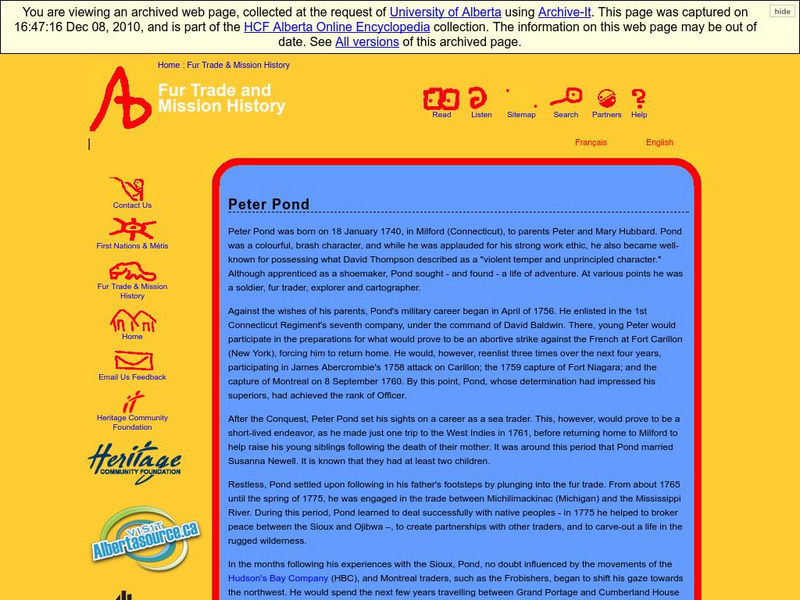
Alberta Online Encyclopedia: Peter Pond
Peter Pond (1739-1807) was a great explorer and map maker during the expansion of the fur trade. He was an American and military officer before becoming a partner in the North West Company. Alberta Encyclopedia Online is an excellent...
Math Science Nucleus
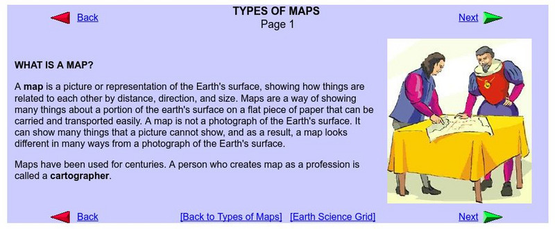
What Is a Map?
Do you want to know what a map is? If you look here, you will find why we have them and their uses.
Other
Valparaiso University: Carl Ritter
This site from the Valparaiso University provides information on Carl Ritter and Alexander von Humboldt, two famous geographers.
National Geographic
National Geographic: Geostories: Participatory Mapping in the Caribbean
Explore the Caribbean's Grenadine chain of islands through the work of a cartographer and mapping expert.
Read Works
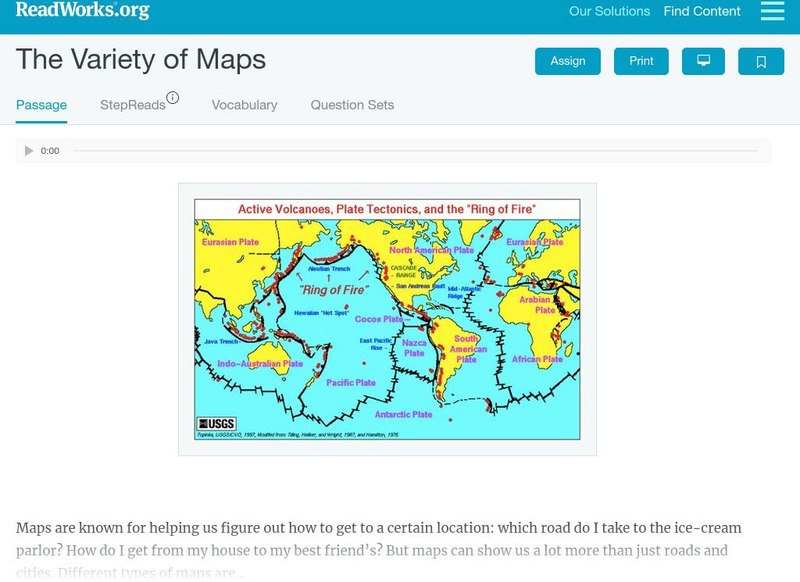
Read Works: The Variety of Maps
[Free Registration/Login Required] An informational text about many different types of maps and the people who make them. A question sheet is available to help students build skills in reading comprehension.
Black Past
Black Past: Grafton Tyler Brown (1841 1918)
Learn about Grafton Tyler Brown, the most successful African American artist in the 19th Century west, who lived his adult life as a white man.
Wikimedia
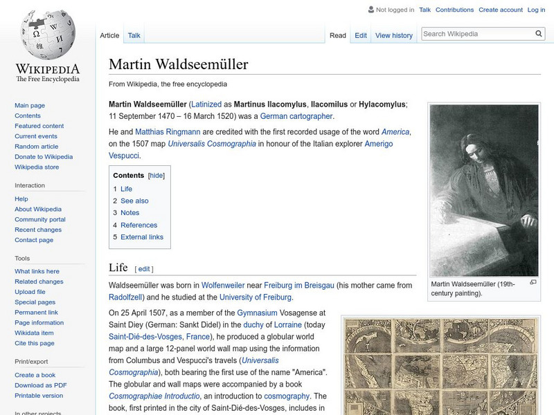
Wikipedia: Martin Waldseemuller
Wikipedia offers a brief biography of Martin Waldseemuller, the German cartographer who first used the name America on a map in 1507.
Other
Artelino: Abraham Ortelius
Brief article that chronicles the life of Abraham Ortelius (1528-1598 CE).


