Hi, what do you want to do?
Illustrative Mathematics
Battle Ship Using Grid Paper
You sank my battleship! The iconic cry of the time-honored game, Battleship will be heard in classrooms with this learning game that requires only grid paper, pencils, and an introductory knowledge of the first quadrant of the coordinate...
Curated OER
Coordinates 1
For this math worksheet, students fill in a chart by determining the location of different shapes on a coordinate system. Students are reminded to crawl (x-axis) before they climb (y-axis).
Curated OER
Shapes on a grid #1
Before learning about the coordinate plane and ordered pairs, have kids get used finding locations on the grid. They are given a simple set of coordinates, which they will locate on the grid. A great way to introduce the concept.
Curated OER
Location on a Grid
There are 12 symbols on this large grid, and scholars must record a location for each. They use the coordinate pair system which is made easier because every symbol is directly inside a square. Use this to introduce coordinate pair...
Curated OER
Location on a Grid
Make coordinate pairs more engaging by having beginners color-code a grid based on given locations. The grid has numbers along the y-axis and letters along the x-axis, introducing them to the ordering of coordinate pairs with the x-axis...
Curated OER
Graph It
Elementary and middle schoolers engage in a lesson plan of graphing in quadrant I of the coordinate plain. They use the graph to create shapes and symbols. While using a graphing calculator, they locate the points on the coordinate...
Houghton Mifflin Harcourt
Four-Quadrant Grid
This is a nifty tool to keep on hand, especially when addressing CCSS.Math.Content.6.NS.6 standards. It is, simply, a Cartesian coordinate plane with all four quadrants. Give individuals one each, and then call out or write ordered pairs...
Curated OER
Treasure Hunt
In this treasure hunt worksheet, students fill in the blanks with the correct coordinates. As students fill in the coordinates, they trace their route on a treasure map.
Curated OER
Equations for Curves Passing through a Given Set of Points
Learner use three random locations on the coordinate system and simplify the expression and assign result to the variable loc. They substitute guesses for the center and radius of the circle in the equation for the center of a circle and...
Curated OER
Make a Classroom Map
Students map the items in their classroom to explain the importance of coordinate systems.
Curated OER
How Do Cartographers Find Points on a Map?
Ninth graders describe latitude and longitude and how they may be useful to find things on a map. For this cartography lesson students divide into groups and devise a coordinate system that can be used to communicate a position.
Curated OER
A slope or not a slope? That is the question.
Eighth graders investigate concepts related to Cartesian Coordinates. They use a creative game at the beginning of the lesson to identify quadrants by passing candy to one another. The rest of the lesson is using vocabulary and problem...
Curated OER
Introduction To Polar Coordinates
Students investigate the polar coordinate system and practice plotting using Cartesian Coordinates. They find the angle and the radius and plot them while comprehending the ordered pairs using the x and y axis. The instructional activity...
Curated OER
Navigation, Working With Coordinates
Young scholars view a polar view map and discuss ways of telling locations on the map. They view a copy of the map superimposed on a coordinate grid, then discuss ways of telling the locations. Students practice as a class and then...
TeachEngineering
Teach Engineering: Who Can Make the Best Coordinate System?
Students learn about coordinate systems in general by considering questions concerning what it is that the systems are expected do, and who decided how they look. They attempt to make their own coordinate systems using a common area...
University of Vienna (Austria)
Maths Online
This site consists of interactive lessons on a multitude of math topics including sets, drawing plane and coordinate system, variables, equations, and functions. You may also view this Vienna University site in German.
Cuemath
Cuemath: Coordinate Geometry
A comprehensive guide for learning all about Coordinate geometry with definitions, the coordinate plane, formulas, equation of a line, related topics, solved examples, and practice questions.
Massachusetts Institute of Technology
Mit: Open Course Ware: Courses: Modern Navigation
College-level planetary science course highlighting modern navigation. Course introduces the concepts and applications of navigation techniques using celestial bodies and satellite positioning systems (GPS). Course features include...
Shodor Education Foundation
Shodor Interactivate: Simple Coordinates Game
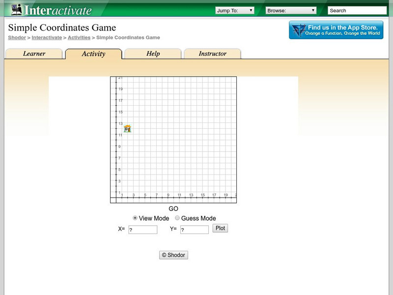
This applet lets you play a game where you practice locating specific points using the first quadrant on the coordinate grid. Directions are only a click away.
Shodor Education Foundation
Shodor Interactivate: Lesson: Graphing and the Coordinate Plane
This lesson plan helps students understand how to graph ordered pairs on the coordinate plane. Lots of resources are available to teachers and students at this website.
Texas Instruments
Texas Instruments: Points in the Coordinate Plane
In this activity, students can use the Cabri Jr. Application to explore the coordinate system.
Texas Instruments
Texas Instruments: Coordinate System
Students demonstrate understanding of coordinate system and ordered pairs using Activity Center.
Texas A&M University
Wtamu Virtual Math Lab: Intermediate Algebra: Graphing Equations
Through this tutorial, you will learn how to solve equations by graphing them on a coordinate plane. Contains several examples with step-by-step solutions and practice exercises for you to complete and check.
University of Vienna (Austria)
Maths Online: Drawing Plane and Coordinate System
Interact with these Applets on the Cartesian coordinates, the Coordinate system, the Polar coordinates, and the Oblique coordinates.


