Hi, what do you want to do?
Curated OER
Graphing the Four Forces
Using the Cartesian coordinate system, future flight experts plot points to determine whether or not an airplane will fly. With the four forces of weight, lift, drag, and thrust represented in different quadrants, your physics learners...
Curated OER
The Order of Things on a Coordinate Grid
Young scholars are able to identify ordered pairs on coordinate plane, and graph points on a coordinate plane. They are able to write an ordered pair for each of the points on a graph, and create a design or picture using ordered pairs.
Curated OER
Cartesian Baseball
Pupils are told what a coordinate system is and also that it provides a way of uniquely describing each point on a plane or in space. They are given a practice problem along with the equation. Students solve the following problem:...
Curated OER
TAKS 5th Grade Daily Upkeep 11
In this prealgebra worksheet, 5th graders find the appropriate Cartesian coordinates used to answer the three multiple choice questions.
Curated OER
Points In the X-Y Plane
Learners plot points on the x-y plane using x and y coordinates and describe how the x and y values relate to the position of the point on the plane. They plot points that fit a linear relationship. They explain that their horizontal and...
Curated OER
The Next Dimension
Students explore the three dimensional Cartesian coordinate system and discuss how it is important for structural engineers in order to be able to describe locations in space to fellow engineers. They participate in a hands-on activity...
Houghton Mifflin Harcourt
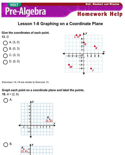
Holt, Rinehart and Winston: Homework Help Independent Practice: Coordinate Plane
Get independent practice identifying points, graphing points and equations on the coordinate plane. Each incorrect response gets a text box explanation and another try. Correct responses are confirmed.
Shodor Education Foundation
Shodor Interactivate: Intro to the Coordinate Plane and Coordinates Discussion
Contains a brief introduction to the cartesian coordinate system.
Shodor Education Foundation
Shodor Interactivate: Lesson: Cartesian Coordinate System
This lesson plan contains a learning exercise for young scholars to familiarize themselves with the Cartesian Coordinate System and its many uses in the world of mathematics. Contains links to explanations of terms and concepts...
Shodor Education Foundation
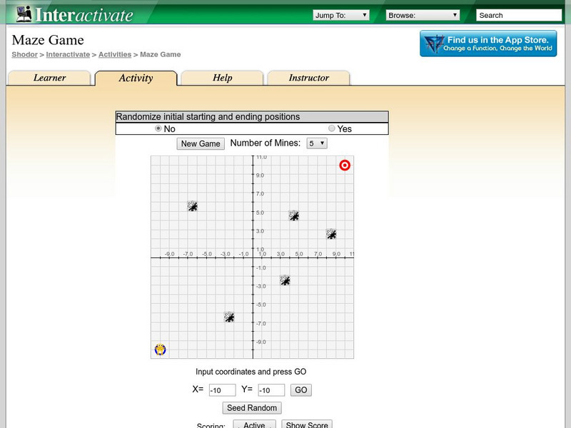
Shodor Interactivate: Maze Game
The interactive learning game has students practice their point plotting skills as they move through a mine field. The goal of the game is to get to a target location without crossing a mine.
Shodor Education Foundation
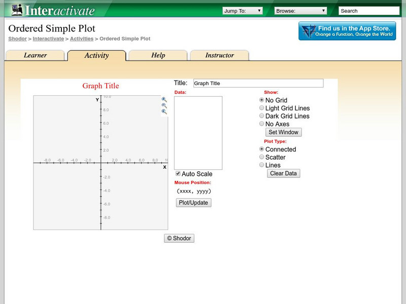
Shodor Interactivate: Ordered Simple Plot
The interactive learning activity allows students to plot multiple ordered pairs. Teacher resources are included.
Texas A&M University
Wtamu Virtual Math Lab: Beginning Algebra: The Rectangular Coordinate System
Find step-by-step examples to help learn four objectives based on ordered pairs in a Cartesian coordinate system.
TeachEngineering
Teach Engineering: A Place in Space
The students will use a "real" 3D coordinate system. They will have 3 axes at right angles, and a plane (the XY plane) that will be able to slide up and down the Z axis. The students will then be given several coordinates and asked to...
National Council of Teachers of Mathematics
The Math Forum: Chameleon Graphing: Coordinate Plane
Dive into this introduction to graphing in the coordinate plane, and meet a chameleon named Sam. Sam will help guide you through graphing points on a line, using negative numbers, and graphing points in the coordinate plane.
Shodor Education Foundation
Shodor Interactivate: Triangle Explorer
This applet allows users to study the nature of triangles and their area. It draws random triangles on a Cartesian coordinate system. The user can determine the area of the triangle using his or her preferred method. After the calculated...
Vision Learning
Visionlearning: Linear Equations in Science: Relationships With Two Variables
An introduction to the history of linear equations and how they relate to science.
Paul Dawkins
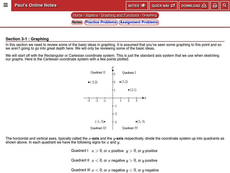
Paul's Online Notes: Algebra: Graphing
Detailed math tutorial features notes and examples that take a look at the Cartesian (or Rectangular) coordinate system. Provides definitions of ordered pairs, coordinates, quadrants, and x and y-intercepts.
Shodor Education Foundation
Shodor Interactivate: Simple Coordinates Game
This applet allows students to practice plotting points and identifying ordered pairs on a coordinate plane. The learning resource consists of the activity, instructions, instructor notes, and additional resources.
Shodor Education Foundation
Shodor Interactivate: General Coordinates Game
This applet allows students to practice plotting points and identifying ordered pairs on a coordinate plane. The learning resource consists of the activity, instructions, instructor notes, and additional resources.
Shodor Education Foundation
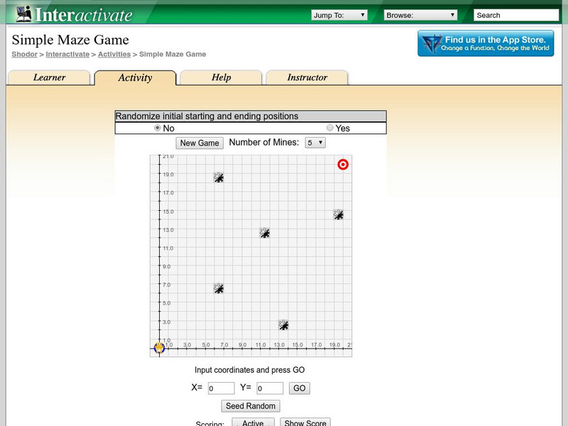
Shodor Interactivate: Simple Maze Game
This applet allows students to practice plotting ordered pairs on a coordinate plane. The learning resource consists of the activity, instructions, instructor notes, and additional resources.
Shodor Education Foundation
Shodor Interactivate: Interactive: Scatter Plot
Use this interactive applet to input a series of (x, y) ordered pairs and plot them. Parameters such as minimum and maximum value, minimum and maximum y value, and x- and y-scale can be set by the user or determined by the applet.
University of Vienna (Austria)
Maths Online: Drawing Plane and Coordinate System
Interact with these Applets on the Cartesian coordinates, the Coordinate system, the Polar coordinates, and the Oblique coordinates.
Other
Massey University: Maths First: Graphing Ordered Pairs
The interactive tutorial and examples explore how to plot points. Topics include quadrants, Cartesian coordinates, and ordered pairs.
US Geological Survey
U.s. Geological Survey: Teaching About and Using Coordinate Systems [Pdf]
Provides lessons and activities for teaching about the different types of coordinate systems including the Cartesian coordinate system, the Geographic Coordinate System, the Universal Transverse Mercator grid, and the State Plane...


