Ducksters
Ducksters: Geography for Kids: Oceania and Australia
Learn about the region of Australia, Oceania, and its countries on this website. Find out about the flags, maps, exports, natural resources, geography, and languages of Oceania.
Ducksters
Ducksters: Geography for Kids: Albania
Students learn about the geography of Albania on this site. The history, capital, flag, climate, terrain, people, economy, and population.
Other
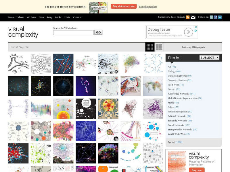
Visual Complexity: Visualizing Complex Networks
Examples of over 300 differnt types of maps, flow charts, and graphs. Emphasis is placed on the artistic and aesthetic qualities of the maps' visual components.
University of California
Earthguide: Maps: Shaded Relief: Asia [Pdf]
View a digital image of a colored shaded relief map of Asia.
University of California
Earthguide: Maps: Shaded Relief: Gulf of Mexico [Pdf]
View and/or print a colored shaded relief map of the Gulf of Mexico. PDF (requires Adobe Reader)
Curated OER
University of Texas: Niger: Political Map
A political map of the west African country of Niger.
Curated OER
University of Texas: Relief Map of Sweden
This page provides a map of Sweden, identifying major cities, railroads, highways & boundaries. From the Perry Castaneda Collection.
Curated OER
University of Texas: Map of Antigua and Barbuda
Features a map of Antigua and Barbuda. Click anywhere on the map to enlarge it for more details.
Curated OER
University of Texas: Map of Barbados
Provides a map of Barbados that when clicked on enlarges the details.
Curated OER
University of Texas: Political Map of Cuba
Provides a map of Cuba that when clicked on, the details become enlarged.
Curated OER
University of Texas: Bangladesh: Relief Map
Click on this relief map of Bangladesh to get a close up look of the major rivers that flow across this flat country and form the mouths of the Ganges. From the Perry Castaneda Collection.
Curated OER
University of Texas: Norfolk Island: Political Map
A small political map of Norfolk Island, a territory of Australia.
Houghton Mifflin Harcourt
Holt, Rinehart and Winston: World Atlas: Iran
Find all the basic data on Iran on this page. Contains a clear map from "MapQuest", flag and facts in a list format. Categories include languages, religions, life expectancy, currency, GDP, industry, agriculture and more.
ClassFlow
Class Flow: Middle East Map
[Free Registration/Login Required] Using interactive tools, students will discover the many regions of the Middle East using graphic maps and finally, rearrange the jigsaw pieces to recreate the full map.
Ducksters
Ducksters: Geography for Kids: Zambia
On this webpage, students can learn about the Geography of Zambia. The history, capital, flag, climate, terrain, people, economy, and population.
Ducksters
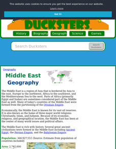
Ducksters: Geography for Kids: Middle East
Investigate the countries and geography of the Middle East. Study the flags, maps, facts, exports, natural resources, economy, populations, and languages of the Middle East.
Ducksters
Ducksters: Geography for Kids: African Countries and the Continent of Africa
Learn about the geography and the countries of Africa. Facts like flags, maps, exports, natural resources, people, and languages are on this website.
Ducksters
Ducksters: Geography for Kids: Yemen
Kids learn about the Geography of Yemen. The history, capital, flag, climate, terrain, people, economy, and population.
World Geography Games
World Geography Games: Straits and Canals
Do you know where the Strait of Hormuz is located? Or the Panama Canal? This geography came will ask you locate straits and canals all around the world on the interactive map.
City University of New York
Choosing a Map Projection: In Search of a Good Map Projection
College-level geography tipsheet for developing an appropriate map projection.
Curated OER
Carver, Jonathan 1781, New Map of North America
"The David Rumsey Historical Map Collection focuses on rare 18th and 19th century North and South America cartographic history materials. Historic maps of the World, Europe, Asia and Africa are also represented. The collection categories...


![Earthguide: Maps: Shaded Relief: Asia [Pdf] Graphic Earthguide: Maps: Shaded Relief: Asia [Pdf] Graphic](https://d15y2dacu3jp90.cloudfront.net/images/attachment_defaults/resource/large/FPO-knovation.png)


