Hi, what do you want to do?
US Geological Survey
Usgs: Water Q & A
You will find this list of questions interesting and amusing. "Things like, "Is salt water used for anything in the U.S.?," and How can we have a 100-year flood two years in a row?", are found on this this. Click Home to access the site...
US Geological Survey
Usgs: Ground Water: Wells
Wells are extremely important to all societies. Find out how wells are dug today and peruse the list of the different types of wells and the methods used to dig them. Click Home to access the site in Spanish.
US Geological Survey
U.s. Geological Survey: Groundwater Information by Topic
A massive amount of information about groundwater. Topics covered include groundwater basics, humans and groundwater, groundwater quality, and its place in the water cycle. Includes true-and-false quiz and a Q&A section, as well as a...
US Geological Survey
Usgs: Water Science Glossary of Terms
The United States Geological Survey offers a complete look at water science in glossary form. Take advantage of the topic guides at the top of the site. You'll find great maps, clipart and activities centers. Click Home to access the...
US Geological Survey
U.s. Geological Survey: What Is the Water Cycle?
A quick summary of the water cycle that includes a diagram of the cycle, with links to in-depth explanations of each component of the cycle. Click "water-cycle home" to access water-cycle resources in a variety of languages.
US Geological Survey
Usgs: Production of Specific u.s. Gemstones
Photos of the principal gemstones produced in the United States, including an introduction to historical and other background information for each one.
US Geological Survey
Usgs: Vermiculite
Information and statistics on the mineral vermiculite are presented by the USGS. Domestic production, sources, and substitutes are discussed in detail.
US Geological Survey
U.s. Geological Survey: Listening to Earthquakes
Listen to various different types of earthquakes, and compare the sounds of various earthquake events.
National Science Foundation
National Science Foundation: Ice Core Facility (Nsf Icf): About Ice Cores
A fantastic resource for learning about how ice cores are collected, the information we can learn from them about Earth's climate history, the types of research being done with them, and how they are stored. Includes lots of videos.
US Geological Survey
U.s. Geological Survey: Earthquakes
This resource provides information about earthquakes, including how they are measured.
US Geological Survey
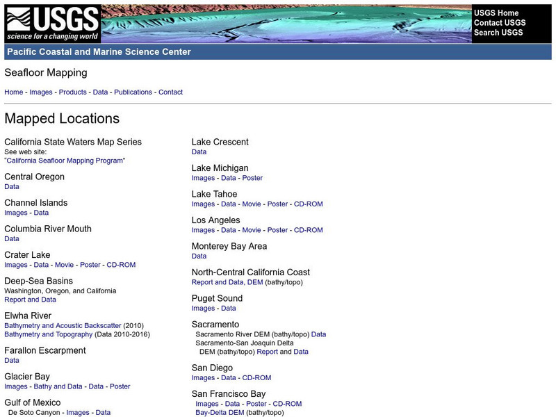
Usgs: Pacific Seafloor Mapping Project
This site describes the details of a project to map the seafloor of the Pacific Ocean. Includes images, movies, links to related information, and more.
US Geological Survey
U.s. Geological Survey: Real Time Earthquake Map
An interactive, real-time map showing current earthquakes happening all over the world. Students may choose options for which earthquakes to display by age, depth, magnitude, or intensity.
US Geological Survey
U.s. Geological: Cascade Range Volcanoes and Volcanics
This site, which is provided for by the U.S. Geological Survey, describes the volcanoes in the Cascades.
US Geological Survey
Relative Time Scale
This is a good resource for anyone who wants to understand the historical development that led to our understanding of relative dating. This site also has links to index fossils and a table of geologic time.
US Geological Survey
Index Fossils
If you need examples of index fossils for each of the geologic eras and periods, than this resource is for you. Diagrams of the index fossils and their scientific names are also provided.
US Geological Survey
The Numeric Time Scale
This is a good source for getting an in-depth description of using radioactive decay to measure the ages of rocks. In addition to describing the process of radiometric dating, this resource also includes a geologic time scale and four...
US Geological Survey
Usgs: Developing the Theory
This comprehensive overview of continental drift takes a historical look at the various types of evidence which led to the development of the theory.
US Geological Survey
Usgs: Unanswered Questions
Discover how convection currents in the mantle are the driving force of continental drift. The reading also briefly addresses the scientists who laid the groundwork for this idea.
US Geological Survey
U.s. Geological Survey: Landslide Danger in the San Francisco Bay Area
Download a movie about the 1982 landslides of the San Fransisco Bay Area. Shows many devastating stories, scientific discoveries, and the destruction the landslides caused. [58:27]
US Geological Survey
Us Geological Survey: Glaciers Help Shape Mount Rainier
Description, facts, maps and history of Mt. Rainier, in Washington State. Also links to recent research and publications.
US Geological Survey
Lake Baikal: A Touchstone for Global Change
This site is an interesting article about Lake Baikal in Russia. This unique lake is helping scientists to learn more about the patterns of ecological change in the world and about the history of the world.
US Geological Survey
Usgs: Public Water Supply
This site from the U.S. Geological Survey provides a definition of public water supply, classification of public water, a description of consumption, supply, and distribution of water, water quality, a small public water-supply system,...
US Geological Survey
Non Renewable Resources
Learn how to enhance economic development and growth. Learn the role of the United States Geographic Survey on locating, quantifying and qualifying non-renewable resources.
US Geological Survey
United States Geological Survey: Alfred Lothar Wegner
This site from the United States Geological Survey provides a description of the scientist and his accomplishments.


