Hi, what do you want to do?
University of Texas at Austin
The Perry Castaneda Library Map Collection
This collection contains more than 250,000 maps covering all areas of the world, and ranging from political and shaded relief maps to the detailed and the historical. Select from a region of the world or an area of highlighted interest.
University of Texas at Austin
Perry Castaneda Library Map Collection: Indonesia
The Perry-Castaneda Library at the University of Texas provides an outstanding collection of maps of the country of Indonesia. PDFs (require Adobe Reader).
University of Texas at Austin
Perry Castaneda Library Map Collection: Iran
The Perry-Castaneda Library at the University of Texas provides an outstanding collection of maps of the country of Iran. Also links to maps from other online sources.
University of Texas at Austin
Perry Castaneda Library Map Collection: Iraq
The Perry-Castaneda Library at the University of Texas provides an outstanding collection of maps of the country of Iraq. Also links to maps from other online sources.
University of Texas at Austin
Perry Castaneda Library Map Collection: Israel
The Perry-Castaneda Library at the University of Texas provides an outstanding collection of maps of the country of Israel. Also links to maps from other online sources.
University of Texas at Austin
Perry Castaneda Library Map Collection: Japan
The Perry-Castaneda Library at the University of Texas provides an outstanding collection of maps of the country of Japan. Also links to maps from other online sources.
University of Texas at Austin
Perry Castaneda Library Map Collection: Korea Maps
The Perry-Castaneda Library at the University of Texas provides an outstanding collection of maps of the country of both North and South Korea. Also links to maps from other online sources. PDF's (require Adobe Reader).
University of Texas at Austin
Perry Castaneda Library Map Collection: Mexico Maps
This site provides a wealth of maps relating to the country of Mexico.
University of Texas at Austin
Univ. Of Texas Libraries: Perry Castaneda Map Collection
A collection of maps detailing every area of Asia from every viewpoint.
University of Texas at Austin
Perry Castaneda Library Map Collection: Afghanistan
Here you will find a collection of maps of Afghanistan from the Perry-Castaneda Collection. There are political maps, relief maps, cultural maps, historical maps, and links to maps on other sites.
University of Texas at Austin
University of Texas: Perry Castaneda Library: Canada Maps
The University of Texas at Austin provides an extensive collection of maps relating to Canada. Links are given for maps of Canada on many other web sites.
University of Texas at Austin
University of Texas Libraries: Russia and the Former Soviet Republics Maps
Collection of maps (political, geographic, thematic, topographic, etc.) related to Russia and the former Soviet Union.
University of Texas at Austin
University of Texas: South Africa Map Collection
The Perry-Castaneda Library Map Collection from the University of Texas provides an assortment of maps from South Africa detailing its provinces, politics, and relief. Content also includes various historical, city, and territory maps.
University of Texas at Austin
University of Texas: India
This collection of maps of India from the Perry-Castaneda Collection offers political maps, historical maps, maps of individual territories, and cultural maps.
University of Texas at Austin
France
Excellent series of maps from University of Texas at Austin - Provides political and shaded relief maps of France and a multitude of historical maps and maps of overseas territories overseas. Also includes maps of several large cities.
University of Texas at Austin
Kashmir Maps
Specially prepared maps from the Perry-Castaneda Library Map Collection.
University of Texas at Austin
University of Texas: Qatar: 7 Maps and Charts
This is a nice set of maps of Qatar from the Perry-Castandeda Collection which includes a map of the country, population map, map of economic activity, among others.
University of Texas at Austin
Perry Castaneda Library Map Collection
Maps from all over the world can be printed from this site. Find historical maps of the world; thematic maps; and world, continent, country, state, and county maps for your use.
University of Texas at Austin
Ut Library: Perry Castaneda Maps of New York
A collection of maps of the state of New York, including links to city maps, historical city maps, and maps of National Parks, Monuments, and historical places.
University of Texas at Austin
University of Texas: Central African Republic Maps
Click on these maps of Central African Republic to see a political map, relief map, and a small, clear map. Find the major cities, highways, and neigboring countries. From the Perry Castaneda Collection. Includes PDFs (require Adobe...
University of Texas at Austin
Ut Library: Perry Castaneda Maps of Virginia
A collection of maps of the state of Virginia. Includes historical and city maps, and maps of places such as Cumberland Gap, Glen Echo Park, and Great Falls Park.
University of Texas at Austin
Ut Library: Perry Castaneda World War Ii Maps
An excellent collection of WWII maps. Scroll down for selections from the European Theater of the war.
University of Texas at Austin
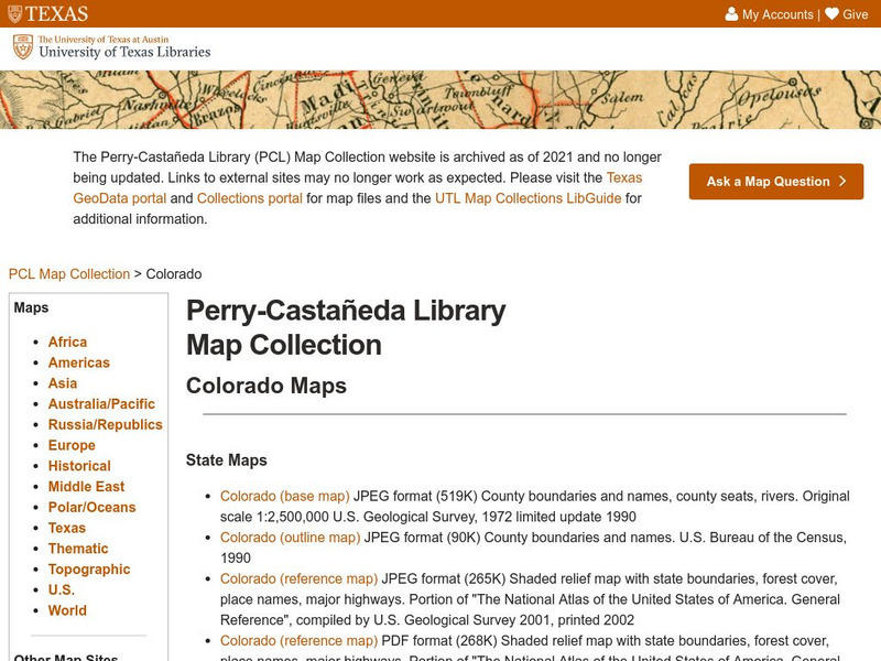
University of Texas: Perry Castaneda Library: Colorado Maps
Features a vast collection of a variety of different maps all representing the state of Colorado. View state maps, city maps, historical maps, National Park maps, and more.
University of Texas at Austin
Ut Library: Perry Castaneda Maps of West Virginia
A collection of West Virginia maps, including city maps and maps of national parks, monuments, and historic sites.


