Hi, what do you want to do?
Curated OER
United States Map- Rivers
Students identify major rivers on a map of the United States. In this geography lesson, students discuss what a river is and use a map marker to identify the symbol of a river on a map.
NOAA
Noaa: Estuaries: Noaa: Science Data: Graphing
Create graphs of marine ecosystems using real-time data.
NOAA
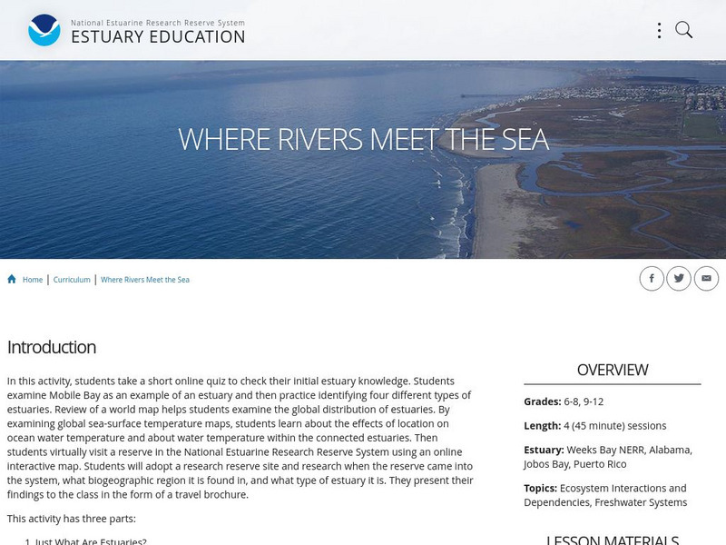
Noaa: Estuaries 101 Curriculum: Where Rivers Meet the Sea
A complete learning module where students watch an introductory video, take an estuary quiz, learn about landforms related to the environment, and use maps and real-time data to study estuary ecosystems in the United States.
National Geographic
National Geographic: A River Puzzle
Use this lesson plan from National Geographic Education to explore rivers and their watersheds, using where they live as an example. Necessary vocabulary for the lesson is included as well as a puzzle for students to figure out that...


