Curated OER
Finding Latitudes and Longitudes
Students analyze Columbus' rationale for sailing west, and find the latitude and longitude of modern and ancient place names.
Curated OER
Of Compasses, Sextants and Chronometers
Learners identify longitude and latitude and how they were, and are, determined, and discuss the rudiments of navigation in the eighteenth century.
Curated OER
"Where in the World is my School?"
Students learn new vocabulary and discuss what GPS is and does. They locate their school using the equipment.
Curated OER
Where in the World Am I: Latitude And Longitude
Pupils demonstrate their knowledge in using latitude and longitude measurements to find locations on a map, especially places in Hawaii.
Curated OER
Lesson Plan on Latitude and Longitude
Sixth graders identify at least ten places on the world map using given longitude and latitude points. They identify the longitude and latitude of ten places on the world map.
Curated OER
Latitude and Longitude: Geography and Geometry!
Second graders use latitude and longitude coordinates to pinpoint an exact location on the map. For this geography lesson, 2nd graders utilize handouts from the Maritime Museum in order to gain practice in finding locations throughout...
Curated OER
Earth Matters
Students identify Earth's equator, prime meridian, lines of latitude, lines of longitude, parallels, and meridians.
Curated OER
What Time Is It? (Latitude and Longitude)
Students practice latitude and longitude by identifying locations by degrees, use meanings of a.m. and p.m. appropriately, become familiar with 24-hour (universal) clock, and calculate time at different degrees longitude.
Curated OER
How Can We Locate Specific Places On Earth?
Second graders discover how to use longitude and latitude to locate specific sites on Earth. They compare old and new ways of locating specific places, and discover how latitude and longitude coordinates are used to locate places on Earth.
Curated OER
Sunspots 3: Tracking the Movement of Sunspots
Students analyze sunspots through the use of solar imaging from satellite instruments. They collect two types of images, and track the movement of sunspots using a latitude/longitude grid.
Curated OER
Can You Find Me Now?
Students locate points using longitude and latitude coordinates. They locate their home using longitude and latitude, explore the uses of GPS, and accurately use a GPS.
Curated OER
The World (With an emphasis on the United States)
Fourth graders recognize the different continents. They are introduced to longitude and latitude and how to find locations using these measurements. This series ends with an emphasis on the fifty states of the United States and their...
Curated OER
What A Tombstone Can Tell Us
In this coordinates activity, students determine the coordinates to visit a cemetery. Students determine 18 coordinates on this activity.
Curated OER
Latitude on World Maps
Sixth graders examine the purposes of maps. In this Geography instructional activity, 6th graders practice using latitude and longitude on a map.
Curated OER
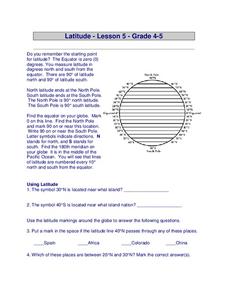
Latitude
In this latitude learning exercise, students answer questions about latitude that include absolute locations of countries and coordinates. Students complete 12 questions.
Curated OER
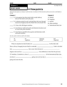
Viewpoints
In this map learning exercise, students review latitude, longitude, equator, and prime meridian. This learning exercise has 5 matching and 8 fill in the blank questions.
Curated OER
Sunrise and Sunset
Students utilize a Mesonet daily solar radiation to determine the times of sunrise and sunset and the length of the day. They describe how sunrise and sunset change with latitude and longitude and how the length of the day changes with...
Curated OER
Latitude and Longitude
Fifth graders study latitude and longitude. They estimate the latitude and longitude of their hometown and find the latitude and longitude of other cities using a map. They use a website to find out the cities' actual latitude and...
Curated OER
Geometry: Mountain Rescue Mission
Fifth graders improve their skills using map coordinates by playing a mountain rescue game. In pairs, they roll dice to determine their moves up a mountain. The team that reaches the rescue site in the shortest distance on the grid...
Curated OER
Latitude & Longitude Bingo
Students practice map reading skills through a reinforcement game of bingo. They select any 24 of 30 listed cities to write on blank bingo cards. Then using atlases, locate a city based on the latitude and longitudinal coordinates...
Curated OER
Tracking Satellites Using Latitude and Longitude
Students investigate how to track satellites using latitude and longitude. They investigate what man learns from all the satellites currently being studied today. Students analyze the four basic types of satellite orbits.
Curated OER
Social Studies: African Folklore and Geography
Students discover the connection between geography and folklore in several African nations. In groups, they record information from maps of their assigned countries. Students observe the pictures in books and match the geographic...
Curated OER
Mapping and Topgraphy- 8th Grade
Eighth graders practice interpreting a contour map as well as reading latitude and longitude in a team activity. Following a discussion on mapping terms, teams are given maps and estimate the distance between two points. Students...


