Hi, what do you want to do?
Curated OER
Map Projections
Students view examples of various map projections using a website. Students record differences between the map projections. Students discuss uses for the various map projections and the differences between the maps they viewed. ...
Curated OER
Water and Land 207
Students examine maps of different projections, mathematically calculate distortions, and note the advantages and disadvantages of each map. They study the different maps and transfer the map to graph paper.
University of British Columbia
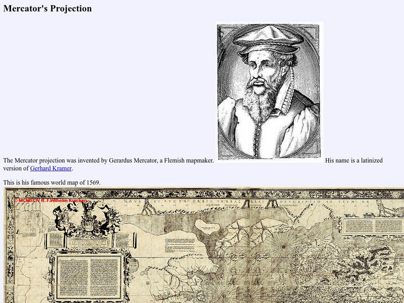
University of British Columbia: Mercator's Projection
The Mathematics of the Mercator Projection. Site provides an illustration of Gerardus Mercator's famous world map of 1569 and the formulas he used.
Other
University of Connecticut: The Geographer's Craft: Map Projection Overview
An advanced overview of map projections with illustrative graphics. Created by Peter H. Dana, Department of Geography, University of Texas at Austin in 1995.


