Hi, what do you want to do?
Incorporated Research Institutions for Seismology
Iris: Gps Measuring Plate Motion [Pdf]
This resource looks at how geologists are able to measure the movement of tectonic plates using satellite-based data and how they were able to surmise in the past that the plates were moving. It also discusses how to read GPS time-series...
University of Washington
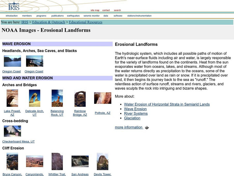
Iris: Noaa Images: Erosional Landforms
Examples, with images, of different types of landforms created by water and wind erosion.
American Geosciences Institute
American Geosciences Institute: Earth Science Week: Seismic Calendar
Students investigate how often earthquakes of various magnitudes happen within specific geographic regions.
Incorporated Research Institutions for Seismology
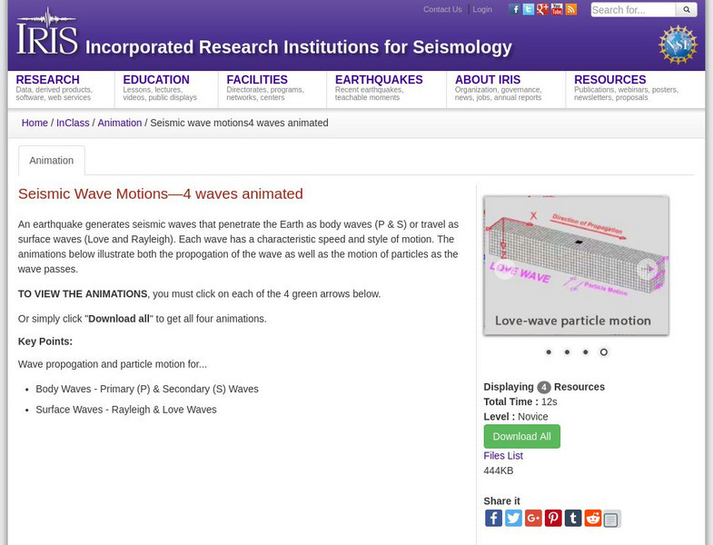
Iris: Seismic Wave Motions
Four animations showing the movements of surface waves and body waves that are created by earthquakes. Includes P, S, Rayleigh, and Love waves.
Incorporated Research Institutions for Seismology
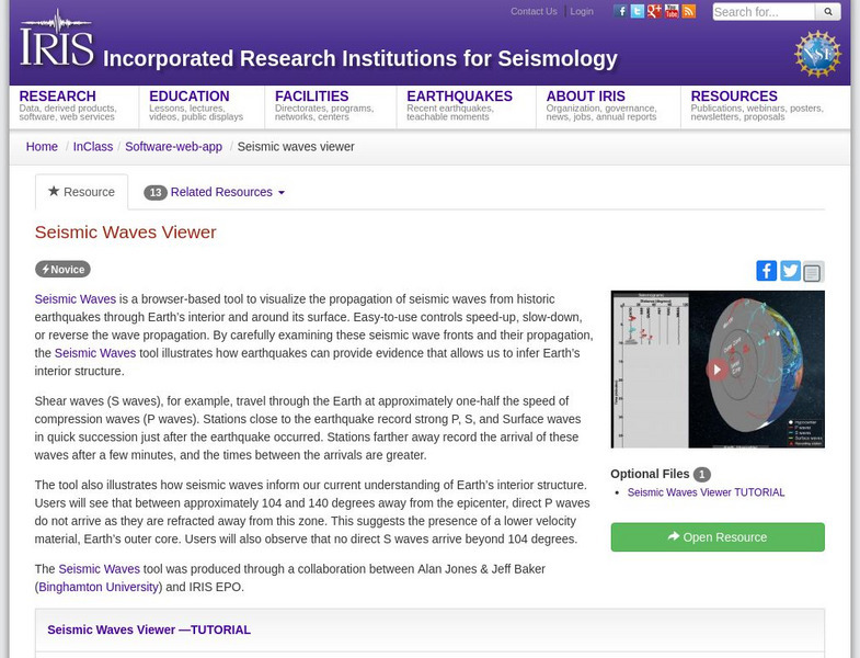
Iris: Seismic Waves Viewer
Visualize the propagation of seismic waves from historic earthquakes through Earth's interior and around its surface.


![Iris: Gps Measuring Plate Motion [Pdf] Handout Iris: Gps Measuring Plate Motion [Pdf] Handout](https://static.lp.lexp.cloud/images/attachment_defaults/resource/large/FPO-knovation.png)


