Hi, what do you want to do?
University of Colorado
University of Colorado: The Geographer's Craft Project: Gis as an Integrating Technology
A comprehensive overview of GIS as a technology that brings different kinds of geographical data together to create something that is greater than the sum of its parts.
University of Colorado
University of Colorado: Error, Accuracy, & Precision
A serious paper by serious geographers, discussing at full length the problems caused by error, inaccuracy, and imprecision in Geographical Information Systems. The definitive word in the real world.
Other
Space Applications Centre: Geographical Information System Concepts
The introduction of this article explains why GIS data is so critical to a government being able to plan for natural resources development and management. The article goes on to explain key geographic concepts, what GIS is and why it...
Other
Gis Lounge: What Is Gis?
Tries to give a clear answer to the often-asked question, 'What is GIS?'
TeachEngineering
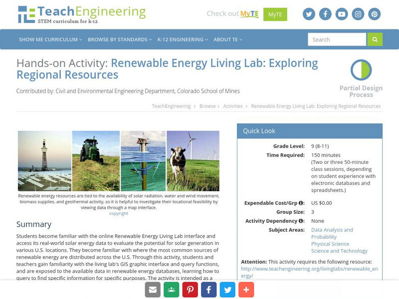
Teach Engineering: Renewable Energy Living Lab
Students become familiar with the online Renewable Energy Living Lab interface and access its real-world solar energy data to evaluate the potential for solar generation in various U.S. locations. They become familiar with where the most...
TeachEngineering
Teach Engineering: What's Wrong With the Coordinates at the North Pole?
Students complete a self-guided exercise in worksheet format combined with Google Earth that helps them explore practical and observable differences between different projection and coordinate systems. The activity improves their skills...
TeachEngineering
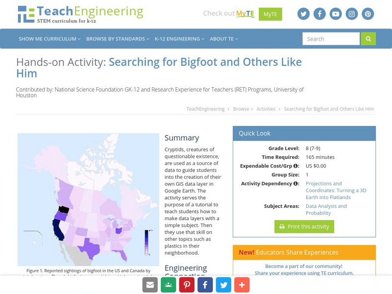
Teach Engineering: Searching for Bigfoot and Others Like Him
Cryptids, creatures of questionable existence, are used as a source of data to guide students into the creation of their own GIS data layer in Google Earth. The activity serves the purpose of a tutorial to teach students how to make data...
TeachEngineering
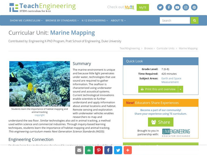
Teach Engineering: Marine Mapping
The marine environment is unique and requires technologies that can use sound to gather information since there is little light underwater. The seafloor is characterized using underwater sound and acoustical systems. Current...
TeachEngineering
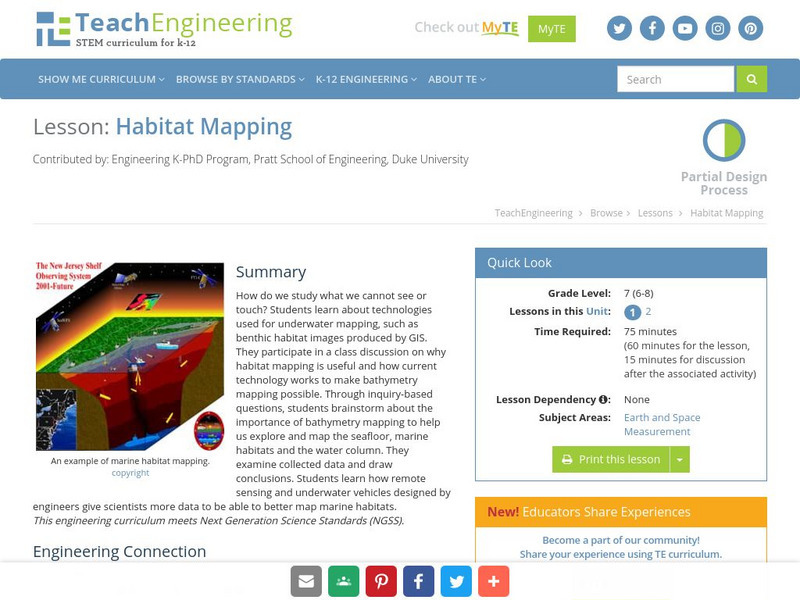
Teach Engineering: Habitat Mapping
The marine environment is unique and requires technologies that can use sound to gather information since there is little light underwater. For this lesson, the learners will be shown benthic habitat images produced by GIS. These images...
TeachEngineering
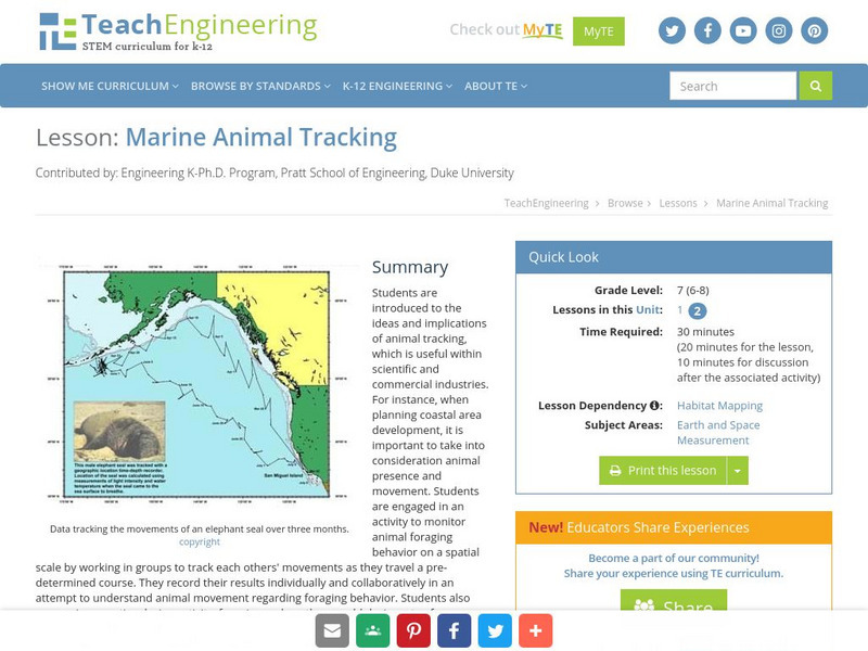
Teach Engineering: Marine Animal Tracking
This lesson engages students in an activity to monitor animal foraging behavior on a spatial scale. The students will break into groups and track each other's movements as they move through a pre-determined course. The results will be...
TeachEngineering
Teach Engineering: What Is Gis?
Geographic information systems (GIS) are important technology that allows rapid study and use of spatial information. GIS have become increasingly prevalent in industry and the consumer/internet world in the last 20 years. Historically,...
TeachEngineering
Teach Engineering: Projections and Coordinates: Turning a 3 D Earth Into Flatlands
Projections and coordinates are key advancements in the geographic sciences that allow us to better understand the nature of the Earth and how to describe location. These innovations in describing the Earth are the basis for everything...
Other
Great Lakes Information Network
The Great Lakes Science Center provides research on various topics concerning the Great Lake environment such as fish advisories, contaminants, threatened species, low water levels, and sustainable development of the Lakes.
Other
Esri What Is Gis?
This site is provided by ESRI, a leading GIS software developer. It explains how GIS works and ways in which it is used.
US Geological Survey
U.s. Geological Survey
The U.S. Geological Survey reports on the latest news affecting the earth today, as well as providing a wealth of data, reports, and information.
TeachEngineering
Teach Engineering: Digital Mapping and Geographic Information Systems (Gis)
Geographic information systems (GIS), once used predominantly by experts in cartography and computer programming, have become pervasive in everyday business and consumer use. This unit explores GIS in general as a technology about which...
University of Colorado
University of Colorado: Error, Accuracy, and Precision Exam
A university exam on the topics of error, accuracy, and precision. Includes essay, short answer, and multiple-choice. Links to lecture and discussion notes. Answers to short essay and multiple-choice are provided.
US Geological Survey
Geographic Information Systems
This is an extensive resource explaining what Geographic Information Systems (GIS) are, how they work, applications of GIS, and GIS through history.
National Geographic
National Geographic: The Politics of Place Naming
Students use an online geographic information system (GIS) to uncover the geographic and social context of streets named after Martin Luther King, Jr. They map street locations to identify regional patterns in honoring King, consider...
Other
Archaeology Data Service: Gis Guide to Good Practice
This document is designed specifically to provide guidance for individuals and organizations involved in the creation, maintenance, use and long-term preservation of GIS-based digital resources.
Other
Ordnance Survey: Map Zone
All kinds of fun and interesting ways to learn about maps and acquire mapping skills.
Other
Esri Gis Education Community
Educators can incorporate ESRI GIS into their classroom to enrich geography lessons and use this community to trade ideas with other educators.
American Geosciences Institute
American Geosciences Institute: Earth Science Week: Mapping Quake Risk
Students use GIS to observe worldwide patterns of earthquakes and volcanoes and analyze the relationships of those patterns to tectonic plate boundaries. Then they identify cities at risk.
University of British Columbia
Ubc: What Is Gis?
This is a university-level introduction to GIS. It provides a comprehensive outline of important topics in this field of study.


