Curated OER
Europe Map Quiz
In this online interactive geography quiz worksheet, students respond to 45 identification questions about the countries located in Europe. Students have 5 minutes to complete the quiz.
Curated OER
Europe Map Quiz (Easy)
For this online interactive geography quiz worksheet, students respond to 35 identification questions regarding the countries of Europe.
Curated OER
Europe at Exploration 1500
In this world empires and trade in 1500 worksheet, students examine a world empire map, world trade map, and Europe map. All maps display information from 1500.
Curated OER
Europe 1914
In this Europe 1914 map worksheet, students note the 9 regions of the Europe labeled on the map and their relevance to World War II.
Curated OER
Europe: Political Map
In this Europe political map activity, students examine each country's boundaries. The map also highlights each of the nation's capitals with a star.
Curated OER
Europe Labeled Map
In this Europe political map instructional activity, students examine the national boundaries. The map also highlights each of the nation's capitals with a star. The countries and capital cities in this map are labeled.
Curated OER
Map Activities
In this geography worksheet, students follow the directions and shade 3 different regions of a UK political map, shade European Union countries on a political map of Europe, match 4 physical feature of Africa to their descriptions, and...
Curated OER
Europe after World War I
For this Europe after World War I map worksheet, pupils note the 11 regions of the Europe labeled on the map.
Curated OER
2 Cities: Europe's Capital Cities
In this European cities worksheet, students label the countries and then provide an alphabetical key for each country. Students then label each capital city and provide a numerical key for each city.
That Quiz
That Quiz: Practice Test: Europe
This resource provides a practice test which allows users to test their geographical knowledge of Europe.
Other
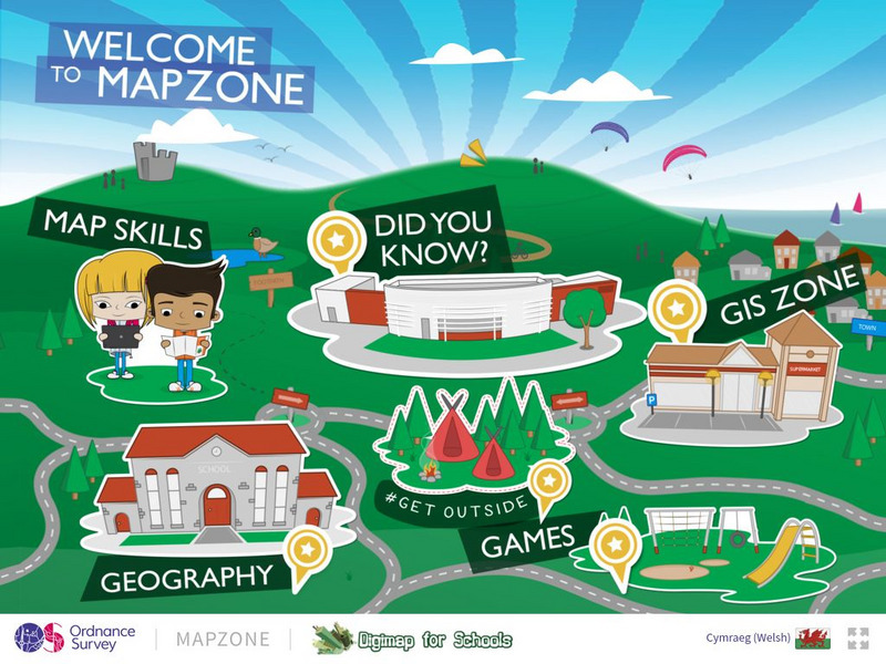
Ordnance Survey: Map Zone
All kinds of fun and interesting ways to learn about maps and acquire mapping skills.
ClassFlow
Class Flow: Europe Map Review
[Free Registration/Login Required] This is a one page flipchart that uses the Magic Eraser tool to review European countries.


