Hi, what do you want to do?
National Humanities Center
National Humanities Center: Toolbox Library: Rivalry I, American Beginnings: 1492 1690
Eleven documents and two maps detailing the almost two hundred year struggle between England and Spain for hegemony in the Caribbean.
National Humanities Center
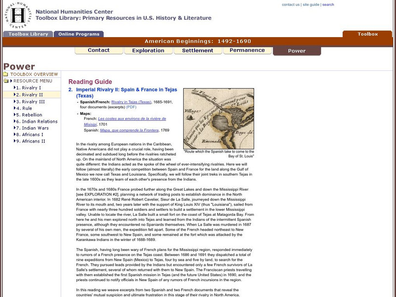
National Humanities Center: Toolbox Library: Rivalry Ii, American Beginnings: 1492 1690
Two eighteenth-century maps and four accounts of the mutual perceptions, suspicions, and observations between Spanish and French explorers on the Gulf Coast.
National Humanities Center
National Humanities Center: Toolbox Library: Rivalry Iii, American Beginnings: 1492 1690
Two maps of English and French rivalries in North America, and two side-by-side accounts of the English and French perspectives on King William's war over power, trade, and economic dominance of the continent.
National Humanities Center
National Humanities Center: Toolbox Library: Indian Relations, American Beginnings: 1492 1690
One modern historical assessment and several original accounts of the mistrust, negotiations, alliances, trading, and disease transmission between European colonizers and native peoples in North America.
National Humanities Center
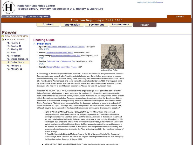
National Humanities Center: Toolbox Library: Indian Wars, American Beginnings: 1492 1690
Five documents representing the full range of Indian-European antagonisms, struggles for power, and outright warfare among the Spanish, Pueblo, Wampanoag, English, and French in New Spain, New France, New Mexico, and New England.
National Humanities Center
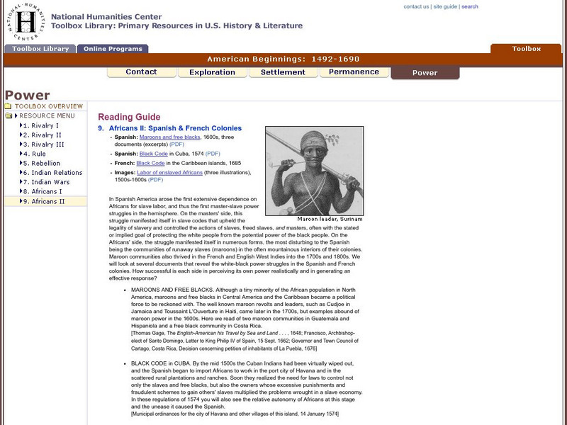
National Humanities Center: Toolbox Library: Africans Ii, American Beginnings: 1492 1690
Three illustrations and five documents about slave codes, master-slave power dynamics, and free blacks within French and Spanish settlements of the Caribbean.
Curated OER
Lemoyve Athore
Thirty one primary sources-historical documents, literary texts, and visual images-that explore European reactions to the land and the people of the New World and the Natives' responses to European contact and conquest.
Curated OER
Illus., Alexander Barclay, the Ship of Fools, 1509, Poem
Five literary responses to exploration and discovery-poems, fictional accounts, a play, and journal entries-that reflect European desire, frustration, and enchantment with the New World.
Curated OER
Depicting the New World
A variety of paintings and drawings that display European images of their first encounters with the land, plants, animals, and native peoples of the western hemisphere.
Curated OER
An Aleut in His Baidarka, Ca. 1744
Two excerpts from the explorations of the Pacific coast by Sir Francis Drake and Vitus Bering as well as maps drawn to reflect those journeys.
Curated OER
Giacomo Gastaldi, La Nuova Francia
Thirty two primary sources-historical documents, literary texts, and visual images-that explore the expectations and the realities of European exploration of the New World.
Curated OER
Harriot, a Briefe and True Report, 1590
Two European maps of Florida and Roanoke, and a British and a French account-with associated engravings of these settlements-that promote a European interpretation of and claim over these areas.
Curated OER
Fort Caroline, 1564
Three European accounts of the disappointments, challenges, and outright failures to establish early successful colonial outposts in North America.
Curated OER
Slideshow
Thirty primary sources-historical documents, literary texts, and visual images-that explore motivations, visions, patterns, goals, challenges, and relationships with indigenous peoples offered by Europeans in their settlement of the New...
Curated OER
Facial Reconstruction of Skull Excavated in Jamestown
Three English, a French, and a Spanish primary account of the staggering losses, misery, and deprivation that characterized early European settlement as well as the resilience needed to overcome those challenges.
Curated OER
The New and Unknown World, 1671
An online exhibition of images of European settlement to accompany two English, a French, and a Dutch set of promotional accounts that offer advice, encouragement, and occasional warning to prospective immigrants to newly settled areas...
Curated OER
Coat of Arms, Lord Baltimore
Three maps of European settlement in Virginia, the Pacific Northwest, and the Spanish New World, and the accompanying official instructions from lenders and monarchs about the obligations, opportunities, and hopes that those...
Curated OER
Slideshow
Fifty seven primary sources-historical documents, literary texts, and visual images-and one secondary historical account that explore imperial conflict, European economic rivalry, and the impact of colonial rule on native peoples.
Curated OER
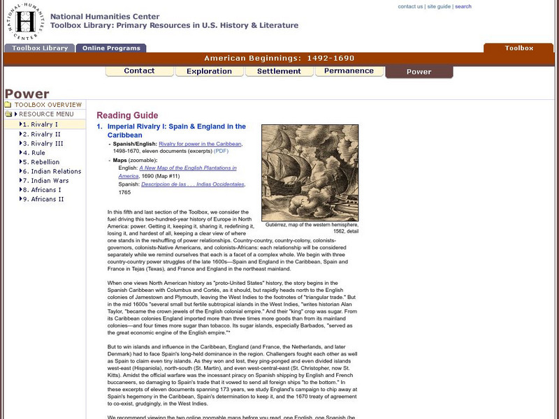
Gutierrez, Map of the Western Hemisphere, 1562, Detail
Eleven documents and two maps detailing the almost two hundred year struggle between England and Spain for hegemony in the Caribbean.
Curated OER
Slideshow
Three documents reflecting official views of how to rule and regulate a successful colony in New France, Jamaica, and the Spanish Indies.


