Hi, what do you want to do?
Geophysical Institute
Latitude and Longitude with Google Earth
Travel the world from the comfort of your classroom with a lesson plan that features Google Earth. High schoolers follow a series of steps to locate places all over the earth with sets of coordinates. Additionally, they measure the...
Association of American Geographers
Project GeoSTART
Investigate the fascinating, yet terrifying phenomenon of hurricanes from the safety of your classroom using this earth science unit. Focusing on developing young scientists' spacial thinking skills, these lessons engage...
Lerner Publishing
Teaching Community Helpers
Youngsters discover who the leaders in their community are and what it means to build a community in this four-lesson unit.
TeachEngineering
Teach Engineering: Digital Mapping and Geographic Information Systems (Gis)
Geographic information systems (GIS), once used predominantly by experts in cartography and computer programming, have become pervasive in everyday business and consumer use. This unit explores GIS in general as a technology about which...
American Geosciences Institute
American Geosciences Institute: Earth Science Week: Exploring 'Wild' Places With Gis
This lesson plans uses Geographic information systems (GIS) technology to explore the local geography.
University of Colorado
University of Colorado: Error, Accuracy, and Precision Exam
A university exam on the topics of error, accuracy, and precision. Includes essay, short answer, and multiple-choice. Links to lecture and discussion notes. Answers to short essay and multiple-choice are provided.
Other
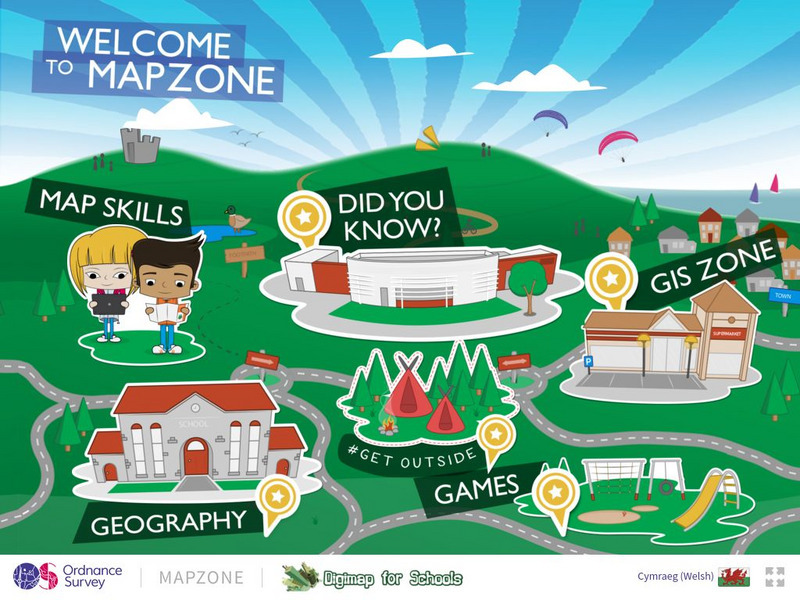
Ordnance Survey: Map Zone
All kinds of fun and interesting ways to learn about maps and acquire mapping skills.


