Curated OER
Introduction to Field Mapping with a Compass and Pace
Students practice using compass and calibrate their own pace, take field measurements of pre-set course with compass and pace, convert measurements into map, using angles and vectors, and make composite class map by adjusting different...
Curated OER
Some Things You Need to Know to Read a Map
Students study things the you need to know to read a map and explain location.
Curated OER
Orienteering 2
Students are shown the basics of map and compass work. They name the parts of a compass and comprehend the function of each part. Students define paces and tallies and use them in a real world situation. They use a map and compass to...
Curated OER
What do Maps Show?
Eighth graders practice the skill of reading maps. In this geography instructional activity, 8th graders participate in a classroom lecture on how to read a map.
Curated OER
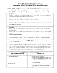
Following a Bearing
Students practice finding a bearing. In this orienteering lesson, students review how to use a compass and set a bearing. Students complete a worksheet where they practice finding a bearing and complete a group activity to...
Curated OER
Basic Orienteering
Students study orienteering. In this science lesson plan, students study the parts of a compass and use the compass to set a bearing and follow the bearing on the compass.
Curated OER
Compass Crusaders
Students discover how to use a compass and how to use that knowledge in the field while applying orienteering and mathematical skills.
Curated OER
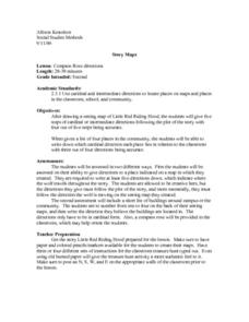
Compass Rose Directions
Second graders use cardinal and intermediate directions to locate places on maps and places in the classroom, school, and community. They draw a setting map of "Little Red Riding Hood." Students give five steps of cardinal or...
Curated OER
Map Coordinate Bingo
Students play a bingo-type game to locate cities by coordinates. They explain the use of orientation on a map and identify cities in the western hemisphere. They compare road maps, shutttle images, and a CIR image and obtain an...
Curated OER
Orienteering II
Students name the parts of a compass and comprehend the function of each part. They define paces and tallies and use them in a real world situation. Students are shown the proper use of radio terminology. They use a map and compass to...
Curated OER
Orienteering Scavenger Hunt
Students take a reading with a compass and use the compass to reach multiple checkpoints in a scavenger hunt activity.
Curated OER
Rescue!
Students explore movement and position concepts. They follow directions using left , right, up, down, North, South, East and West. Students draw and follow a path on a grid to show a route followed. They label and follow legends on a map.
Curated OER
Town Mouse/ Country Mouse
Students recognize the difference between the city and the country. In this City Mouse, Country Mouse lesson, students listen to a story and describe and map differences between the city and the country. Students understand that people...
Perkins School for the Blind
Modified Golf
Golf is a popular game that is enjoyed around the world. Invite your pupils with visual impairments or blindness to putt a few balls or make a hole in one. This lesson provides several very good suggestions as to how you can teach an...
Perkins School for the Blind
Modified Disc Golf
Here is a great set of adaptations and modifications that will make your next game of disc golf accessible to all your pupils. Listed are several variations and ways you can modify the game for your learners with physical or visual...
Curated OER
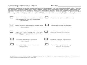
Delivery Timeline
Students study the transportation and delivery service and complete a timeline activity. In this delivery and transportation lesson, students identify activities that need to be completed to make deliveries. Students arrange activities...
Curated OER
Lesson Plan on Latitude and Longitude
Sixth graders identify at least ten places on the world map using given longitude and latitude points. They identify the longitude and latitude of ten places on the world map.
Curated OER
Hagerman GIS Questions
Students examine maps and pictures to identify specific geographic information. In addition, they explore data tables and GIS data to identify fossil beds and vegetation. Students explore the correlations between soil type, vegetation,...
Exploratorium
Building Three-Dimensional Structures
Are you looking for a good 3-D geometry lesson that includes hands-on activities for your middle schoolers? Look no further than this one! Pupils use centimeter grid paper embedded in the plan, along with detailed construction...
Perkins School for the Blind
Stuff, Seal and Stamp Mail
Have your class practice functional skills that can be applied to a wide variety of job opportunities. They will use a folding jig to help them fold, stuff, seal, stamp, and mail letters. Students with visual impairments will build...
Curated OER
Guess My Shape
Learners describe shapes to other students who have to guess that shape. In this shape lesson plan, learners describe shape attributes to other students. Then those other learners have to guess the shape that is being described to them....
Curated OER
Arkansas Regions As They Relate To Slave Population
Fifth graders evaluate how the characteristics of Arkansas' regions affect the slave population.


