Curated OER
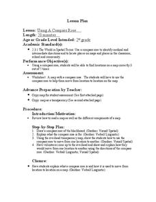
Using a Compass Rose
Second graders practice navigating around their neighborhood by utilizing a compass. For this geography lesson, 2nd graders view a compass rose, discover the purpose of it, and utilize it to navigate through a printed map of their...
Curated OER
Mapping the News
Students explore cartography. In this map skills and map making lesson, Students work in groups to create wall size world maps including legends, compass roses, latitude and longitude, and physical features. Students collect...
Curated OER
How to Teach Geography with KidPix 1
Students create a compass rose. In this geography lesson, students create a compass rose using the computer program KidPix 1.
Curated OER
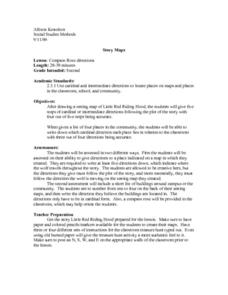
Compass Rose Directions
Second graders use cardinal and intermediate directions to locate places on maps and places in the classroom, school, and community. They draw a setting map of "Little Red Riding Hood." Students give five steps of cardinal or...
Curated OER
Where Am I: How to Read a Map
Third graders develop an understanding of maps. They explore what a map is, who uses maps, and how to use maps. Students investigate the compas rose. They create a compose rose which illustrates the cardinal directions. Students practice...
Curated OER
Where in the World Am I?
Students participate in mapping activities to explore an area from different spatial perspectives. In this mapping lesson, students define the terms needed to understand a map. Students use representations such as a balloon and a...
Curated OER
U.S. Geography: The Northeast
Students investigate U.S. Geography by creating a map in class. In this natural resource lesson, students create a map of the United States and research the Northeast based on their resources and recyclable materials. Students...
Curated OER
Wales: An Interdisciplinary Unit
Young scholars practice basic map and geographic skills as they compare Oregon to Wales. Students color map of Wales and Oregon using color codes to distinguish between land, water, and bordering nations or states, listen to stories and...
Curated OER
Early Explorers
Fifth graders investigate the routes taken by the early explorers. In this explorers lesson, 5th graders use interactive notebooks, discussion and maps to discover the routes taken. Students get into pairs and label maps, and create...
Curated OER
Reading a Map
Third graders become familiar with the vocabulary and skills related to mapping. In this guided reading instructional activity, 3rd graders find proper nouns on from the map. Students read Goldilocks. ...
Curated OER
It's Happening, Where? Find the Absolute and Relative Location of News Articles
Students read newspaper articles. In this social studies lesson, students locate the latitude and longitude of the location where the news article takes place. Students write a summary of the news article.
Curated OER
China Quest
Read and research information on China. Young researchers complete a knowledge hunt about China then locate and describe each location using directional words. They recognize the word meaning through context clues and application practice.


