Curated OER
Using Color as a Pre-Writing Tool
To better understand how to compose a clear and well-organized paper, learners read short passages, write summaries, and make colored graphic organizers. This is a fully developed three-day lesson with suggested assessments.
Global Oneness Project
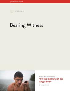
Bearing Witness
A controversial construction project in South America, the Belo Monte dam, is endangering local cultures, ecosystems, and communities. High schoolers create a concept map based on an online article they read before engaging in...
Curated OER
Where are We?
Fifth graders explore places visited by Lewis and Clark. In this geographical concepts instructional activity, 5th graders plot places on a map and put events in chronological order. Students find locations on a map using longitude and...
NOAA
Into the Deep
Take young scientists into the depths of the world's ocean with the second lesson of this three-part earth science series. After first drawing pictures representing how they imagine the bottom of the ocean to appear, young scholars...
Curated OER
Mapas Bailados: Creating Visual Representations of Dances Using Maps
Third graders listen to "Frank the Monster..." and discuss the dance map on the inside cover of the book. They create their own dance map using sentence strips to record the types of movement.
Federal Reserve Bank
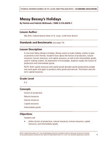
Messy Bessey's Holidays
Teach your class some fairly complex terms—factors of production, human resources, capital resources, natural resources, and intermediate goods—with a storybook (Messy Bessey's Holidays), plenty of visuals and handouts, and related...
Curated OER
Social Studies: The Birth of Olympism
Students complete maps of Ancient Greece identifying key sites of the ancient Olympic games. After watching a video, they complete worksheets about the games and the athletes. Students discuss how the spirit of Ekecheiria, the "Sacred...
Curated OER
Populations in the Path of Natural Hazards
Students read "Geographical Mobility: 1995-2000." They examine the maps in the handouts and compare them with maps from an atlas. In the second part of this lesson, students read "In Harm's Way." They receive three more handouts, one a...
Curated OER
Settling the Plymouth Colony
Students label blank maps with the names of the New England Colonies. They explain the difficulties that the Pilgrims had and how hard they worked to survive in Plymouth.
Curated OER
Omaha's Whose Who at Prospect Hill Cemetery
Pupils explore and are able to explain how to read an old street map of downtown Omaha. Students review the names of schools in OPS as well as country names in Nebraska. They find out the names of graves in Prospect Hill Cemetery. Pupils...
Curated OER
A New Federation
Students describe the relationships between state and federal parliaments in Australia. They identify responsibilities shared between federal and state and territory governments. Students explore an alternative federal structure by...


