Curated OER
Using a Compass Rose
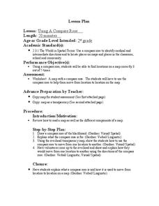
Second graders practice navigating around their neighborhood by utilizing a compass. For this geography lesson, 2nd graders view a compass rose, discover the purpose of it, and utilize it to navigate through a printed map of their...
Curated OER
Making a Magnet / Compass
Fifth graders explore the components of a compass and how it is utilized to determine geographical directions. The magnetic field of Earth and the magnet used to magnetize the needle used in the experiment are compared and contrasted in...
Curated OER
Naviagational Tools
Fifth graders create a compass, with the help of written instructions and then write six sentences discussing how compasses work and why they are helpful. They discuss the different types of navigational tools and how they are helpful.
Curated OER
Using a Compass Rose
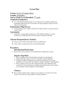
Second graders explore geography by completing a mapping activity in class. In this directional lesson, 2nd graders examine a map in class and utilize a compass rose to identify their location and destination. Students write directions...
Curated OER
Magnetism: What is a Magnetic Field?
Students make a compass. In this magnetism lesson, students use the Internet to research magnetic fields and perform an experiment to find the magnetic fields around different magnets. Students use the Internet to research...
Curated OER
Magnet Mania
Young scholars explore magnetic fields. In this science instructional activity, students create a magnetic field using electricity. Young scholars observe the effect of a magnetic field on the compass needle.
Curated OER
Weather Conditions During the Spring Monarch Migration
Middle schoolers keep detailed weather records during the spring migration of the monarch butterfly. To keep track of the weather, students utilyze weather reports and instuments such as anemometers, compasses, thermometers and rain gauges.
Curated OER
Age of Exploration
Students work individually or in a group researching a box compass using historical information on the uses of the compass as well as the scientific theories of the compass. They create a box compass and a water compass which are...
Curated OER
Journey of the Nez Perce
Students study the retreat of the Nez Perce Native Americans into Montana while tracing their journey on a map. They use the law of cosines to solve problems based on the navigational methods of the Nez Perce. They work with both the law...
Curated OER
Stranded along the Coast
Students plot stranding sites onto a map using latitude and longitude as well as compass directions with respect to coastal features. They identify several species of marine animals that might become stranded; distinguish their...
Curated OER
Cartography
Students research about cartography and how to be a cartographer. In this math lesson, students draw a map of their classroom. They use a robot to explore navigation using a compass rose.
Curated OER
Weather Report Chart
Students complete a weather report chart after studying weather patterns for a period of time. In this weather report instructional activity, students measure temperature, precipitation, cloud cover, wind speed, and wind direction for a...
Curated OER
The Historical Development of Magnetism
Students discuss the history and importance of magnets to the world. For this magnetism lesson, students write an essay of a world without magnets. Students may research addition information to add details about uses of magnets.
Curated OER
GPS Treasure Hunt
Students explore geography by participating in a treasure hunt activity. In this Global Positioning System lesson, students define the terms latitude and longitude while utilizing an electronic GPS device. Students view a PowerPoint...
Curated OER
Stories That Really Add Up
Students, in groups, develop math lessons for younger students that each stems from a popular student story. Group members individually develop lessons for other subject areas based on their group's story, creating interdisciplinary units.
Curated OER
An Age of Exploration
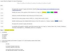
Learners investigate U.S. history by examining North American timelines. In this American exploration activity, students research the events that led to Columbus finding America and participate in a jeopardy game regarding his adventure....
Curated OER
Map Making with Lewis and Clark
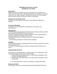
Students develop maps based on a virtual internet expedition of The Louisiana Purchase land area. They create the maps based on an actual outdoor expedition of their communities. Student create two maps, one based on the Louisiana...
Curated OER
The Greatest Survival Story of All Time
Students use the Internet to read about an explorer's survival in the Antarctic. They try to find a better route for him to have taken.
Curated OER
How Animals Meet Their Needs
Fourth graders research the Internet for facts relating to the animal of their choice. They use information from their Internet search to complete their animal project. TLW use his or her own words when writing their report.


