Curated OER
Exploring an Atlas
Learners explore global geography by participating in an atlas activity. In this countries of the world instructional activity, students collaborate in small groups and analyze an atlas while researching continents, countries and...
Curated OER
Storm Clouds-- Fly over a Late Winter Storm onboard a NASA Earth Observing Satellite
Students study cloud data and weather maps to explore cloud activity. In this cloud data lesson plan students locate latitude and longitude coordinates and determine cloud cover percentages.
Curated OER
Where in the World? The Basics of Latitude and Longitude
Students are introduced to the concepts of latitude and longitude. In groups, they identify the Earth's magnetic field and the disadvantages of using compasses for navigation. They identify the major lines of latitude and longitude on a...
Curated OER
Fish Around the World
Students use a globe to answer questions such as which continent they live in and the country in which they live. They identify at least two bodies of water near their state and two foreign countries. In groups, they complete a...
Curated OER
Environment: Water & Air
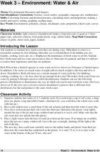
The introduction to the lesson mentions a sailor's limited capacity to store drinking water on his ship. Pupils then set up an overnight experiment to remove freshwater from salt water by distillation. There is a math and map activity to...
Curated OER
Know Your Area
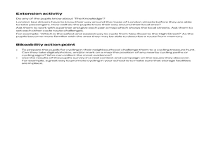
Students investigate transit by analyzing their school surroundings. In this local geography lesson, students identify their school in relation to the rest of their state, country and globe. Students discuss their personal travel habits...
Curated OER
Discovering the Past Using the Future: Remote Sensing and the Lost City of Ubar
Young scholars use a video, maps, worksheets and Internet research to explore the role that sensing played in locating Ubar - the lost city of Arabia.
Curated OER
Where in the United States Are We?
High schoolers spend the lesson identifying the location of the fifty states and the capitals. Using a software program, they retrace te outline of each state numerous times. To end the lesson, they write a story about a state and city...
Curated OER
Tear the Continents
Learners tear paper into representative continent shapes and configure them with world oceans through relative location, direction and latitude and longitude starting points. They recognize the shape of the continents. Students recognize...
Curated OER
Fair Trade: Chocolate Can Be Good For You
Young scholars discover the process of chocolate production. They read stories from boys in Ghana and Brazil who work on cocoa plantations. They illustrate the principles of fair trade.


