Curated OER
Sonar Mapping
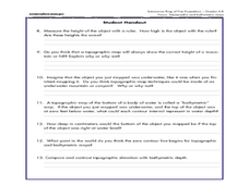
Students use a shoe box to create a seafloor model and use cardboard for layering inside of the shoe box to simulate the ocean floor. They probe the ocean floor to simulate sonar echoes. Finally, students graph their data to get a...
Curated OER
The Unseen Ocean Floor
Students build ocean floor structures, then map and model an unfamiliar ocean floor. They are introduced to bathymetry and sea floor features, and discover one of the most widely usd methods for studying the ocean.
Curated OER
A Watered-Down Topographic Map
Eighth graders explore the ocean floor. In this topography instructional activity, 8th graders compare topographical maps to bathymetric charts. They will create a topographic map and note landmarks and other land features.
Curated OER
If I Can't See It, How Do I Know It's There?
Students build a model ocean using a variety of materials representing the various levels of the ocean. They collect data about the ocean floor in a partner activity. They practice working with topographical mapping grids.
BBC
EU, UN, and Commonwealth
Find out how international government organizations work to face global issues. Learners examine if major organizations like the EU, UN, and Commonwealth are effective at tackling big issues like animal protection. They think about the...
Curated OER
Probes, Exploration & Application
Learners explore how a surface can be described without seeing it.


