Curated OER
Bearings
In this online bearings instructional activity, students complete a variety of online exercises involving traveling in different directions. Students check their twenty-one answers as they go and the computer computes their final overall...
Curated OER
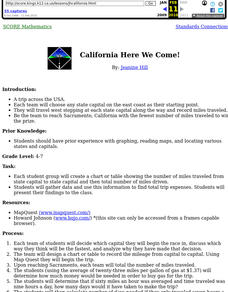
California Here We Come!
A highly relevant and great cross-curricular project! In teams, your class will plot a course from the East Coast to Sacramento, California passing through all of the state capital cities along the way. As part of the journey, teams will...
Curated OER
Estimating the Mean State Area
Seventh grade statisticians randomly select five states and then determine the mean area. The class then works together to create a dot plot of their results.
Curated OER
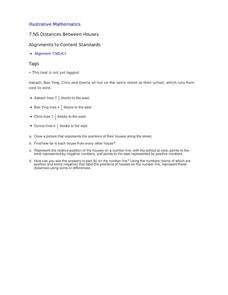
Distances Between Houses
This resource sneaks in the math so your learners will be adding and subtracting positive and negatives on a number line while thinking they are mapping out houses. The activity starts by putting houses the appropriate distance away from...
Curated OER
Data-gathering Activities Relating to Trees in Their Environment
Students gather data relating to trees in their environment. In this biology lesson plan, students determine heights of trees and their ages. A canopy map will indicate optimal growing areas for the tree.
Curated OER
Order Numbers On a Number Line
Fifth and sixth graders study the use of a number line to add integers and they observe a teacher demonstration of how to add integers on a number line. Afterward, they construct a number line and use the number line to solve addition...
Curated OER
Mapping a Site Using a Coordinate Plane
Learners map their playground as if it were an archeological site. They locate objects on the playground and determine their location using coordinate points. A related lesson plan is Coordinate Grid: Mapping an Archeological Site.
Curated OER
Shapes (Orienteering)
Learners explore the tools of navigation. In this shapes activity, students navigate using direction cues to create a shape. Learners follow specific steps to create their shapes. Students use compasses to see the directions they are...
Curated OER
Using Math To Make Decisions About Animal Habitat
In this animal habitat worksheet, students read, analyze and solve 5 scenarios involving mathematics and animal habitats. Students work out each decision they decide as correct and write out a proposal for each one.
Curated OER
Angles and Turns
For this angles worksheet, students solve 24 problems in which angles and measurements on a compass are calculated. There are also some map problems to solve. The page is intended for online use but can be done on paper.
Curated OER
Longitude
In this globe worksheet, students learn how longitude is measured on a globe. Students read the information before answering 5 questions. A globe will be required.
Curated OER
Practicing Pythagoras
In this math worksheet, students practice answering the questions for finding the hypotenuse of the given triangles while using the Pythagorean Theorem.
Curated OER
Where in the World Am I: Latitude And Longitude
Pupils demonstrate their knowledge in using latitude and longitude measurements to find locations on a map, especially places in Hawaii.
Curated OER
Unit 2 Sun & Stars
Students describe stellar objects using terms such as stars, planets, satellites, orbits and light. In this sun and stars unit, students research stellar objects through seven individual lessons discovering star characteristics, how...
Curated OER
Analyze a Street Map
In this street map worksheet, students analyze a section of a street map of Washington D.C, finding parallel streets, listing streets that form given shapes, and following directions. Answers on page 2.
Curated OER
Angles
In these angles worksheets, students complete several activities for angles. Students complete 34 problems about angle measurement.
Other popular searches
- Four Cardinal Points
- Teaching Cardinal Points
- Cardinal Points Worksheets
- Inter Cardinal Points
- The Cardinal Points


