Curated OER
Geographics in Arkansas
Third graders discuss where Arkansas is located on the United States map. They use geographic tools to participate in activities.
Curated OER
Famous Figures in History
Students investigate famous people in U.S. history. In this American history instructional activity, students read about famous people such as Helen Keller and Einstein. Students think of ways they might become famous.
Curated OER
The Legend of the Indian Paintbrush: Native American Life
Students read," The Legend of the Indian Paintbrush" by Tomie dePaola and discuss the way legends are passed down orally. They then create their own legend and illustrate it on a simulated "Buffalo Skin" made from brown paper.
Curated OER
PASS the Arts
Young scholars explore math and art concepts, create digital art examples of the concepts, and incorporate these works into a PowerPoint portfolio with explanation and analysis.
Curated OER
Ben Franklin Half Dollar
Students research contributions to American culture and technological progress through Benjamin Franklin's quotes and inventions. They also analyze research in order to design a coin honoring Ben Franklin's contributions.
Curated OER
Galloping Who?
Third graders do an Internet search to find out about Galloping Gertie and what caused the bridge to fail.
Curated OER
Landscape Observation: How Portland Has Changed
Students read The Lorax and discuss how populations change the environment. Using given photos, students use a Venn Diagram to compare and contrast the Portland of yesterday to present day Portland. They write a comparison paper and...
Curated OER
Sunshine and Shadows
Students measure their shadows early in the morning, record direction of shadow, make marks in ground with chalk or tape, measure with ruler, and record results. Students repeat process at noon, and then later in afternoon. Students...
Curated OER
Our State Road Trip
Young scholars take a virtual tour of the country of China instead of a state. Using the Internet, they examine the differences between a political and physical map and use latitude and longitude to locate specific places. They also...
Other
Map Zone: Compasses and Directions
Sharpen map skills by exploring these map pages. Learn about the compass rose, different norths, and how to use a compass.
PBS
Pbs Learning Media: Asu: Compass for Courage
COMPASS uses collaborative game-based learning to teach youth research-backed strategies to manage worries, solve problems, build relationships, and face stressful situations with confidence. This six-lesson plan has shown to improve...
AdLit
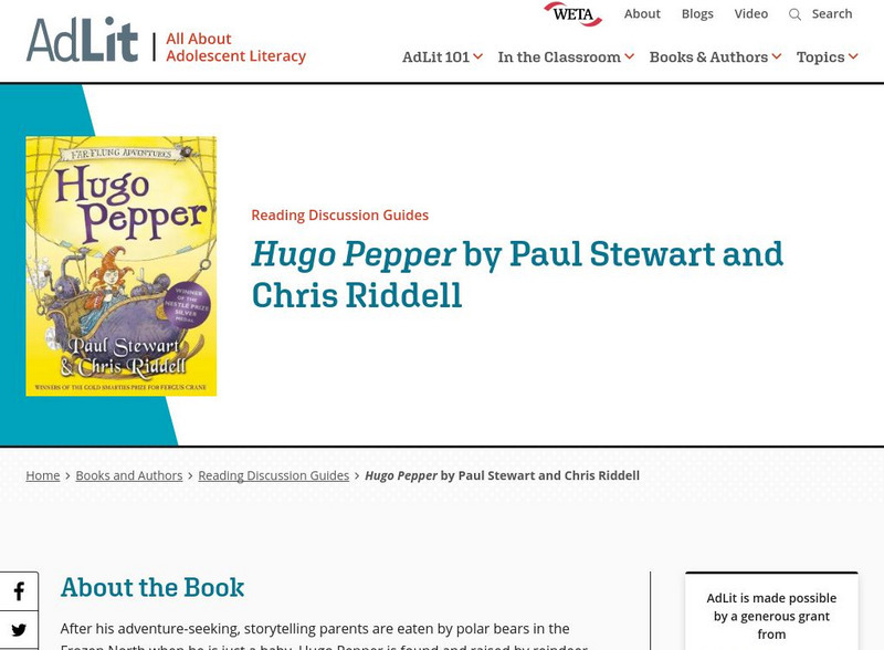
Ad lit.org: Reading Discussion Guide: Hugo Pepper
After his adventure-seeking, storytelling parents are eaten by polar bears in the Frozen North when he is just a baby, Hugo Pepper is found and raised by reindeer herders. One day he discovers a flying sled with a very special compass -...
PBS
Pbs Learning Media: Let's Learn
This collection of resources for children ages 3-8 are drawn from the public television series Let's Learn, a partnership between the WNET Group and the New York City Department of Education. Let's Learn aims to provide our young...
ClassFlow
Class Flow: Maps Globe Skills
[Free Registration/Login Required] This flipchart discusses landforms, mapping and the Compass Rose. Students can practice using Cardinal Directions and use Activotes.
US Mint
United States Mint: In Mr. Lincoln's Shoes [Pdf]
Using the study of President Abraham Lincoln as a guide, students demonstrate basic map skills including cardinal directions and how to use a compass rose.
E-learning for Kids
E Learning for Kids: Science: Antarctica: What Is Position and Reference Point?
With all the snow and ice in Antarctica, it's easy to get lost. Help Tim find his way using a map and a compass.
SMART Technologies
Smart: Final Project Map Skills
This lessons explores the different ways we can view our world along with the different parts of a map or globe.
Scholastic
Scholastic: Study Jams! Science: Energy, Light and Sound: Magnetism
A slideshow and a short multiple-choice quiz on the basic concepts and vocabulary of magnetism.
Utah Education Network
Uen: Lesson Plan: Map Trap
Lesson to reinforce maps skills and concepts. Students map locations around their school and use world maps to locate major landmarks.
Read Works
Read Works: Learn About Maps
[Free Registration/Login Required] Intended to support early elementary students' reading comprehension, the basic terminology associated with map are explained in this informational text. A question sheet is available to help students...
SMART Technologies
Smart: Geography Unit: Maps
This geography unit is designed to follow the 1st Grade geography skills required in Virginia. Students are expected to use cardinal directions, read map keys and understand map symbols, as well as identify our city and capital.
Texas Education Agency
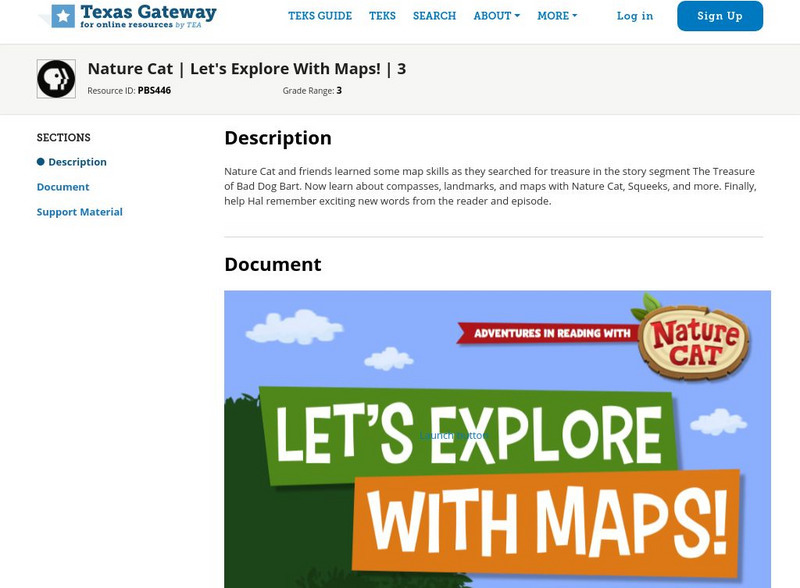
Texas Gateway: Nature Cat: Let's Explore With Maps!: Grade 3
Nature Cat and friends learned some map skills as they searched for treasure in the story segment "The Treasure of Bad Dog Bart". Learn about compasses, landmarks, and maps with Nature Cat, Squeeks, and more. Finally, help Hal remember...
E-learning for Kids
E Learning for Kids: Science: Antarctica: Penguins: What Is Motion?
What do you know about Emperor penguins? Ernie is researching them and their migration across the continent.
E-learning for Kids
E Learning for Kids: Math: Bus Station: Position on a Map
Help Jamal read maps, describe directions, and identify coordinates in this series of interactive exercises.
Other popular searches
- Compass Skills Worksheets
- Compass Skills 3rd Grade
- Compass Skills First Grade
- Compass Skills Elementary
- Map and Compass Skills
- Compass Skills Lesson Plans
- Map Compass Skills
- Math Compass Skills
- Tecahing Compass Skills
- Decaying Compass Skills
- Compass Skills Yr 10
- Math Compass Skills Triangle


