Hi, what do you want to do?
Cocori
Cocori Complete Costa Rica: Torch of Freedom
This page is part of the Web of Cocori: Complete Costa Rica. The article tells of Juan Santamaria,a national hero of the country. It includes an interesting photo, also.
Other
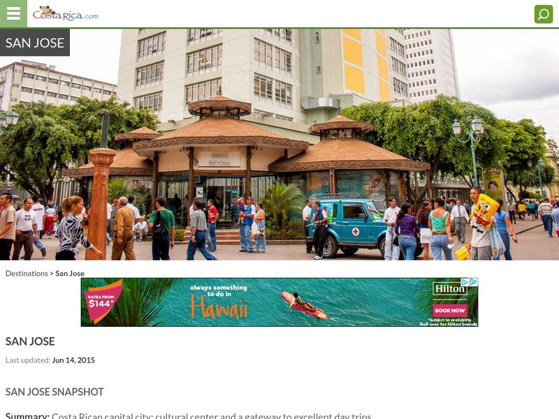
Costa Rica: San Jose
Gives general information about the capital city of San Jose with some brief historical background.
Curated OER
Nuevo Presidente De Costa Rica
This page of the "Costa Rica Web" contains a wide variety of information about the former President of Costa Rica, Miguel Angel Rodriguez Echeverria.
Curated OER
Map of Costa Rica
Explore the geography, history, government and facts of Costa Rica. Maps and current flag are included.
Curated OER
Flag of Costa Rica
Explore the geography, history, government and facts of Costa Rica. Maps and current flag are included.
Curated OER
Association of Religion Data Archives: National Profiles: Costa Rica
Learn about religion in Costa Rica, in this Association of Religion Data Archives country profile. Includes general facts, history, and religious data.
Curated OER
Science Kids: Science Images: Map of Costa Rica
A map featuring Costa Rica and its neighboring countries.
Curated OER
Science Kids: Science Images: Costa Rica Flag
The national flag of Costa Rica, a country in Latin America.
Curated OER
Perry Castaneda Map Collection: Latin America Map
This political map of Latin America and South America is in color and features major cities.


