Hi, what do you want to do?
Curated OER
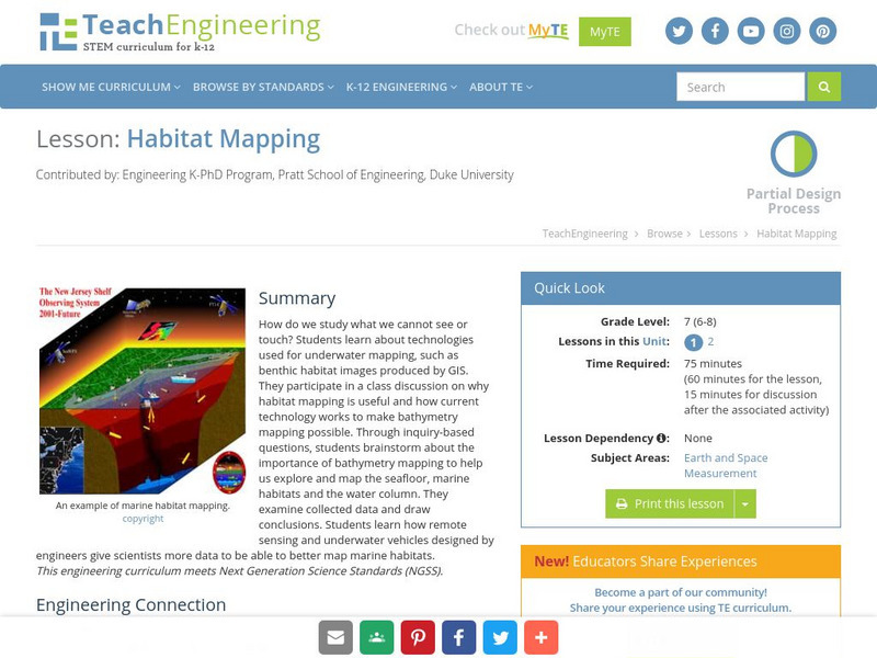
TE Lesson: Habitat Mapping
Students examine the current technologies used in mapping resources in the marine environment. They look at remote sensing, sounding, and underwater vehicles. They examine image from the benthic habitat produced by the GIS in order to...
Curated OER
Remote Sensing
Students research the Earth's ocean systems. They examine the impact of global warming on the oceans and the world as a whole.
Curated OER
Remote Sensing
Students study the effects of global warming on specific organisms. They research the possible problems global warming is causing.
Curated OER
Remote Sensing - What Can We See When We Can't Touch?
Students discover how remote sensing is used to identify the signatures of life even when the particular life form is not directly observable. They investigate how a satellite "sees" objects on the surface of Earth.
Curated OER
Sensing Somethong
Students are taught that they can gather information about objects using the five senses of vision, touch, smell, taste, and hearing. They are told that some sensing, like sight, is done remotely. Students observe how a camera can...
Curated OER
Introduction to Remote Sensing
Students view, discuss, and compare different types of maps produced from remote sensing data. They use image processing software to analyze and enhance sea surface temperature maps.
Curated OER
What is Remote Sensing?
Students learn about remote sensing in terms of what it is and how it is used.
Curated OER
Time Marches On
Students research the development of remote sensing, various instruments used throughout time and create a time line depicting the history of remote sensing.
NASA
Nasa: Imagers: Teacher's Guide
NASA site provides a thematic unit on Remote Sensing targeted for students in grades 5-8. Within the unit, users will find lesson plans, reproducible worksheets, visuals, and links to useful resources.
NASA
Nasa: The Adventures of Ameila the Pigeon
Amelia the Pigeon has been given assignments related to how the land changes. These assignments center around imaging, remote sensing, and the history of New York City. They are presented in an engaging manner and are supported by...
Columbia University
Nasa: Sedac: Applications of Satellite Remote Sensing
[Free Registration/Login Required] A collection of twenty-eight data sets from SEDAC (Socioeconomic Data and Applications Center) that examine ways in which remote sensing by satellites gives us useful information about the world....
University Corporation for Atmospheric Research
Ucar: Remote Sensing
Discusses the importance of radar and satellite sensing in weather forecasting. Well illustrated with useful animations showing how radar and satellite sensing works.
TeachEngineering
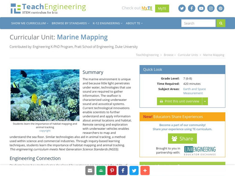
Teach Engineering: Marine Mapping
The marine environment is unique and requires technologies that can use sound to gather information since there is little light underwater. The seafloor is characterized using underwater sound and acoustical systems. Current...
TeachEngineering
Teach Engineering: Habitat Mapping
The marine environment is unique and requires technologies that can use sound to gather information since there is little light underwater. In this lesson, the students will be shown benthic habitat images produced by GIS. These images...
Government of Canada
Canada Space Agency: Satellites
Provides educational information on Canada's satellites.
Government of Canada
Canadian Space Agency: Radarsat 1
Access materials and content for a teaching unit on RADARSAT-1 satellite technology.
Other
Lehigh University: Land Use Change
An inquiry-based science unit for middle school students centered on how human activities affect environmental changes related to land use. The lessons integrate technology and lab activities while teaching about today's land use and how...
NASA
Nasa Earth Observatory: Remote Sensing
Discover the history of remote sensing from early cameras to the first space shuttles. Learn about the different remote sensing methods and accomplishments made by NASA.
NASA
Nasa: Aerial Photography: The Adventures of Amelia the Pigeon
An animated adventure story, developed by NASA, that helps children understand earth science concepts by using satellite photography and other types of aerial photographs to identify physical features on the surface of the earth. Teaches...
NASA
The Story of Echo the Bat
"Follow Echo the Bat through Arizona and learn about remote sensing and use false-color satellite images to help you find Echo."
NASA
The Adventures of Echo the Bat
Remote sensing, false-color satellite images, and the electromagnetic spectrum are all covered in this fun site about Echo the bat. These topics are addressed in both a story book and text book fashion and are supported by a full set of...
American Museum of Natural History
American Museum of Natural History: Biodiversity Informatics: Remote Sensing
Guides and interactive tools to understand how remote sensing works. It includes links to several articles on various aspects of remote sensing.
NOAA
Noaa: National Weather Service: Remote Sensing
The National Weather Service presents this site on remote sensing. Learn about Doppler radar, the Automated Surface Observing System (ASOS), and radiosondes. Review questions included.
American Geosciences Institute
American Geosciences Institute: Earth Science Week: Space Archaeology
Want to be an archaeologist without leaving school? Use a computer to become a space archaeologist and identify burial sites on Earth.


