Hi, what do you want to do?
Curated OER
Peru's Earthquake
Young scholars identify the patterns of earthquakes by mapping USGS data and comparing it to mapped tectonic plates. They discover the relationship between earthquakes and the moving plates of the Earth's crust.
Curated OER
Researching Intermountain West Earthquakes
Learners research earthquakes using the internet and newspapers. They discover the earthquake's effect on people and buildings. They report their findings to the class.
Curated OER
Earthquake Plotting
Students become familiar with map coordinates. They establish the frequency of earthquake occurrences and study the location and magnitude of earthquakes. To establish the location of plate boundaries.
Curated OER
It's a Gas! Or is it?
Pupils discover the principles of solubility and phase state and their influence on chemical phenomena observed around deep-sea volcanoes. They describe the effect of temperature and pressure on solubility of gasses and solid materials.
Curated OER
Seismic waves
Students discover the differences between P- and S-waves using a slinky. They see that when displacement occurs along a fault, the built up strain of energy is released in the form of seismic waves.
Curated OER
Earthquakes
Students research statistics about the last five large earthquakes. They compare data in small groups and present their information orally to the class. They also attempt to predict the next large earthquake.
Curated OER
Earthquakes
Students examine why earthquakes happen, and where most earthquakes occur in the world. They discuss how engineers and architects try to construct stronger buildings, then design and build an earthquake-proof structure.
Curated OER
Learning from history: can it save lives?
Students research and document lessons learned from this disaster, then compile and synthesize information. They write effectively for public education purposes and use visual communications tools
Curated OER
Earthquake Analysis
Learners analyze and plot the coordinates for several recent earthquakes on a world map. They learn not only about research and geology, but about map-making and data analysis. They think of other ways to analyze the data given.
Curated OER
Earthquake Waves
Fourth graders pour three cups of sand on the top of a plastic table near the edge. They tap the table lightly with the rubber mallet. When they tap the table lightly they see the sand ump into the air.
Concord Consortium
Concord Consortium: Stem Resources: Earthquakes Around the World
In this interactive, students manipulate a computer model that shows where earthquakes and volcanic eruptions have occurred since 1960, to make predictions, collect data and look for patterns. Includes career connection, and a question...
Exploratorium
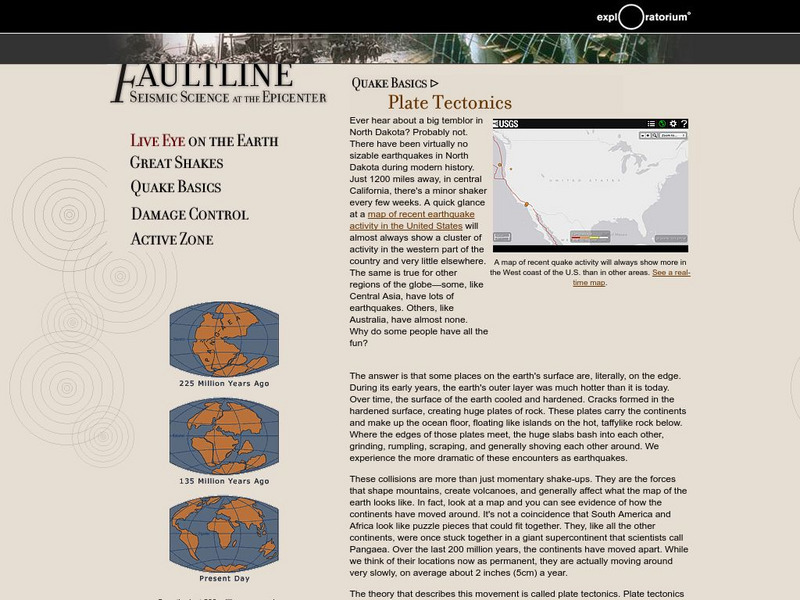
Exploratorium: Earthquake Faultline Why the Earth Shakes
This website provides an explanation of earthquakes in words and pictures, beginning with this lesson on plate tectonics.
Center for Innovation in Engineering and Science Education, Stevens Institute of Technology
Ciese: Musical Plates: A Study of Earthquakes and Plate Tectonics
This activity has students access USGS earthquake information to plot the their locations on a world map. Doing this will help students discover for themselves the boundaries of tectonic plates.
Burke Museum
Burke Museum: The Big One
This is the introduction to the Burke Museum's online exhibit on earthquakes and natural disasters. This is part of the Burke Museum's collection of geology. Topics that are covered include an introduction to quakes, quake science, quake...
Burke Museum
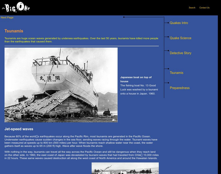
Burke Museum: Tsunamis
The information on tsunamis provided at this site is part of the Burke Museum's online exhibition on earthquakes and geology. Prevention is discussed, along with famous tsunamis in history.
Scholastic
Scholastic: Severe Weather and Natural Disasters
Learn about severe weather and natural disasters through experiments, witness accounts, vocabulary, and much more.
Science Buddies
Science Buddies: Liquefaction & Seismic Activity
Earthquake damage can be intensified in areas that are subject to soil liquefaction. For example, in these areas, soil movement may cause foundations to collapse, while structures in nearby areas built on more stable soil or bedrock may...
Science Buddies
Science Buddies: How Fast Do Seismic Waves Travel?
Here's a geology project that uses historical seismograph data that you can collect from the comfort of your own computer. You'll use a web interface to a network of seismometers run by the Northern California Earthquake Data Center, at...
Science Buddies
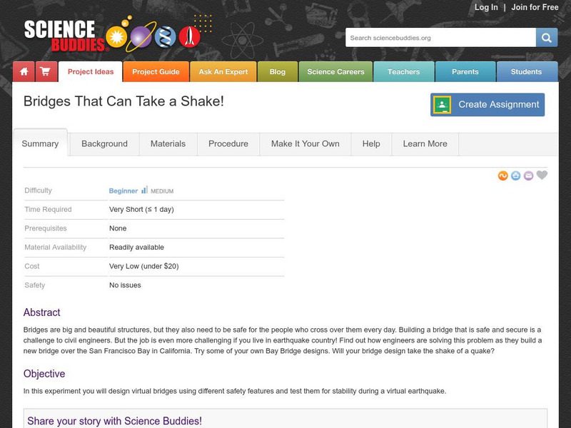
Science Buddies: Bridges That Can Take a Shake!
Building a bridge in San Francisco has to take into account the possibilites of earthquakes. This Science Buddies science project asks that you use different virtual bridge designs to withstand virtual earthquakes. The Science Buddies...
Science Buddies
Science Buddies: Locating the Epicenter of an Earthquake
When an earthquake happens, how are scientists able to determine the original location of the quake? In this project, you'll use archived data from a network of seismometers to find out for yourself. You'll create your own seismograms...
Science Buddies
Science Buddies: Ring of Fire 2: What Earthquakes Tell Us About Plate Tectonics
The theory of plate tectonics revolutionized geology in the 1960's. In this project you can explore the connection between plate tectonics and earthquakes by mapping historical seismic data.
Science Buddies
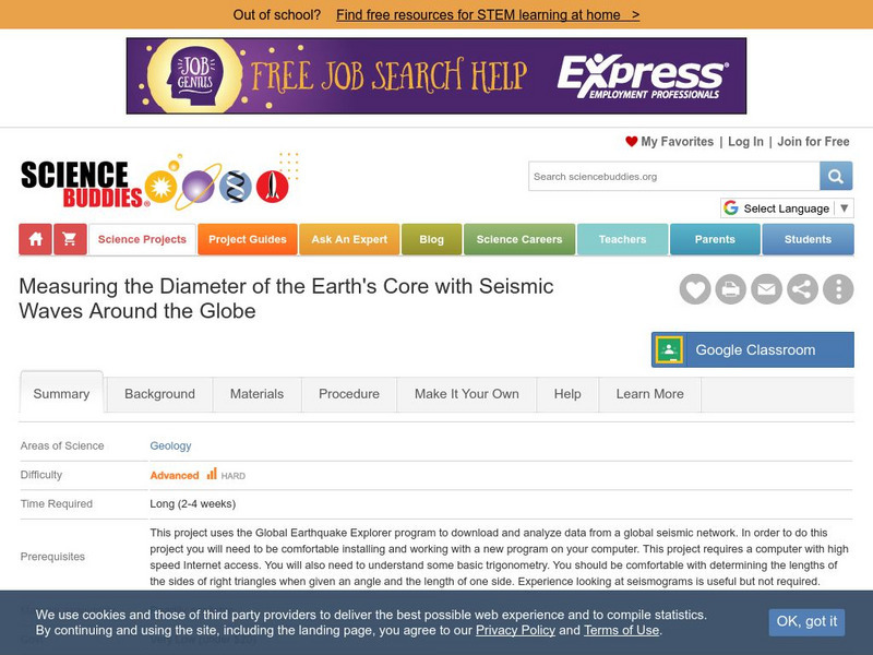
Science Buddies: Measuring the Earth's Core With Seismic Waves
When an earthquake occurs, seismic shock waves travel out through the earth from the source of the event. The shock waves travel through the earth (body waves), or along the Earth's surface (surface waves), and can be recorded at remote...
Science Buddies
Science Buddies: Set Your Table for a Sweet and Sticky Earthquake Shake
Earthquakes can have different affects depending on their location. This week long exercise asks you to build a model house and a special table to shake it on, and see how different soil types can amplify shaking.


