Hi, what do you want to do?
New York State Education Department
TASC Transition Curriculum: Workshop 11
You'll C-E-R a difference in classroom achievement after using a helpful instructional activity. Designed for economics, civics, government, and US history classes, participants practice using the CER model to craft arguments about...
Geographyiq
Geography Iq
Detailed geographical information on any country is available at this site. Within the World Map section, you can get facts and figures about each country's geography, demographics, government, political system, flags, historical and...
Louisiana Department of Education
Louisiana Doe: Louisiana Believes: World Geography: Aborigines
Students develop and express claims through discussions and writing which examine the origins and experiences of the Aborigine people and evaluate their effectiveness in preserving their culture.
Louisiana Department of Education
Louisiana Doe: Louisiana Believes: World Geography: Oil in the Middle East and Africa
Students develop and express claims through discussion and writing which examine the importance of oil and water to the success and survival of the Middle East and North Africa.
Louisiana Department of Education
Louisiana Doe: Louisiana Believes: World Geography: Colonization of Africa
Students develop and express claims through discussions and writing which examine the effect of colonization on African development.
World Food Programme
Un World Food Program:the Hunger Map
Are you studying about hunger in the world? This interactive world map with targets on 'hunger hot spots' and factual text is an excellent resource!
Center for Innovation in Engineering and Science Education, Stevens Institute of Technology
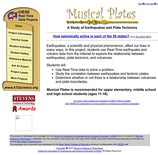
Ciese: Musical Plates: A Study of Earthquakes and Plate Tectonics
This activity has students access USGS earthquake information to plot the their locations on a world map. Doing this will help students discover for themselves the boundaries of tectonic plates.
Alabama Learning Exchange
Alex: Where in the World Am I?
A collaborative distance learning project on world geography.Two classrooms will interact while solving clues about "mystery" counties.
National Geographic
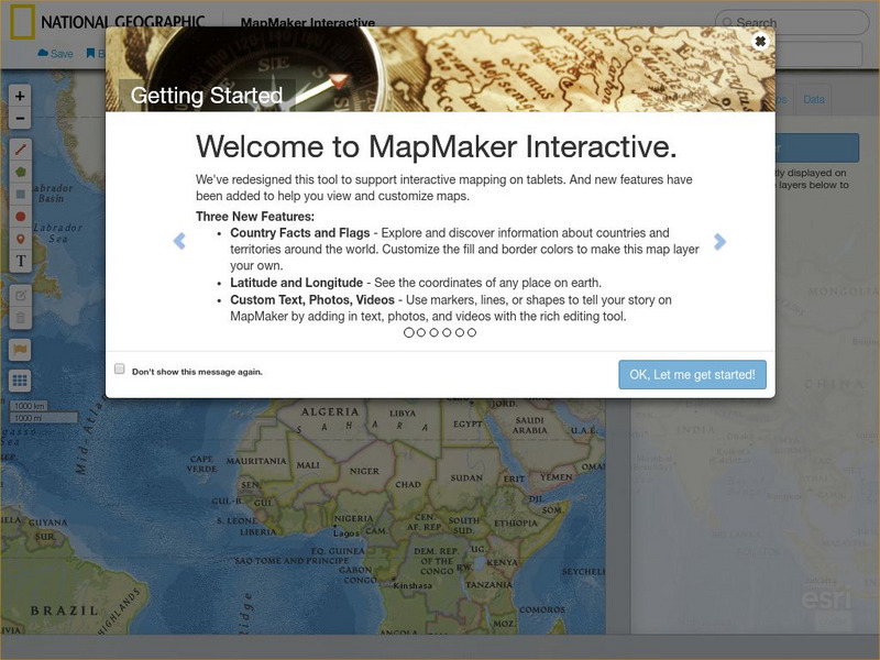
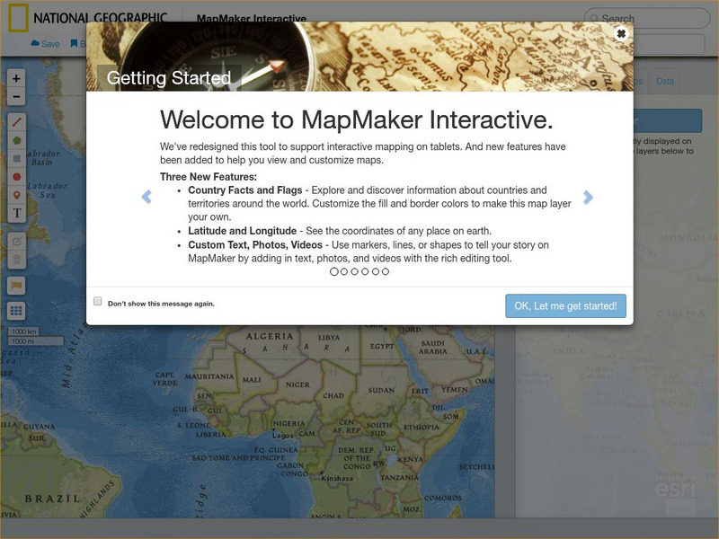
National Geographic: Map Maker Interactive and 1 Page Map Maker
This National Geographic feature allows visitors to create their own world maps complete with capitals, oceans, climate information, satellite view, personalized trail markings and more. Choose from a detailed color map or the second...
Read Works
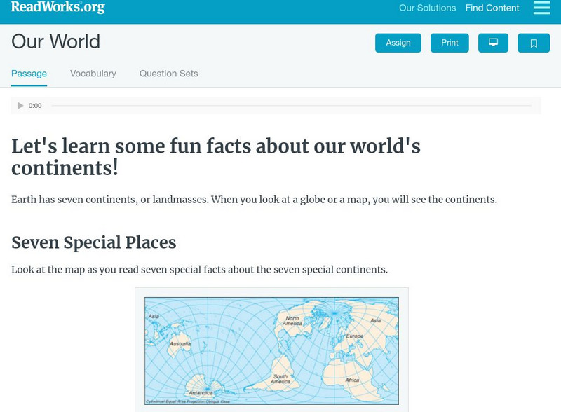
Read Works: Our World
[Free Registration/Login Required] Students read facts about seven continents. A question sheet is available to help students build skills in classifying and categorizing.
Read Works
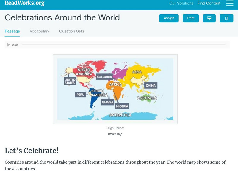
Read Works: Celebrations Around the World
[Free Registration/Login Required] Students read about festivals and celebrations from different countries around the world. A question sheet is available to help students build skills in classifying and categorizing.
Read Works
Read Works:north America:comparing Data From Different Countries Around the World
[Free Registration/Login Required] A chart with land and population data from Canada, the United States of America, the United Kingdom, and Japan. A question sheet is available to help students build skills in reading comprehension.
Tramline
Virtual Field Trip: Windows on the World
At this site you will find interactive activities, maps, photos, and even audio and video clips for studying the cultures of the world.
National Geographic
National Geographic: Mapmaker Interactive
Interactive map maker in which students can manipulate world maps adding layers and data with multiple sources of information.
Lizard Point Quizzes
Lizard Point: World Oceans and Continents Quiz
Test your geography knowledge by taking this interactive quiz over the world's continents and oceans.
Other
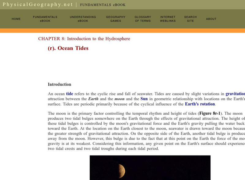
Physical geography.net: Introduction to the Hydrosphere: Ocean Tides
This is the last (18th) section of a textbook chapter on the hydrosphere. It explains what causes tides and tidal variations, describes some different types of tides, and shows on a world map where these tides occur. Includes link to a...
Enchanted Learning
Enchanted Learning: World Flags
Enchanted Learning features this website devoted to the study of the world's flags. There are fact sheets, illustrations, current and historical flags, and related links.
Organization for Community Networks
Academy Curricular Exchange: World War Ii
A very thorough lesson plan depicting the leaders, events and geography of World War II.
Other
Jayzeebear.com: The World Online Map Game
Want a fun way to practice map skills and to learn geography? This colorful interactive online game is great for students.
Library of Congress
Loc: Country Study: Spain
This website contains the on-line versions of books previously published in hard copy by the Federal Research Division of the Library of Congress under the Country Studies/Area Handbook Program sponsored by the U.S. Department of Army....
Travel Document Systems
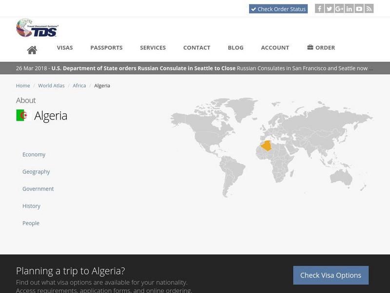
Tds: Algeria: Geography
A discussion of the geography of Algeria. You can read about the three distinct geographic regions, the climate, and the natural hazards. Information from the CIA World Fact Book.
Travel Document Systems
Tds: Croatia: Geography
A very brief discussion of the physical environment of Croatia. You can find out about its terrain, climates, and island-filled coast. Information is from the CIA World Fact Book.
National Geographic
National Geographic: Geostories: Geography on the Job
Each story point in this Geostory includes images, a short bio, and an interactive mapping tool that allows students to see the regions where geography work takes place.
Travel Document Systems
Tds: Solomon Islands: Geography
A discussion of the physical environment of Solomon Islands including the names of the major islands, climate, terrain, and vegetation. Information is from the U.S. State Dept. Background Notes.


