Other
Bureau of Meteorology: The Weather Map
Explains what a weather map is and how it is prepared. Describes what weather maps show, typical weather patterns in Australia, the use of weather charts, temperature, and wind speed.
Discovery Education
Discovery Education: Weather Maps
This site provides a lesson plan in which groups of students will each investigate a different type of weather map use for weather forecasting. Also includes discussion questions, extension ideas, and links to additional sites for more...
American Geosciences Institute
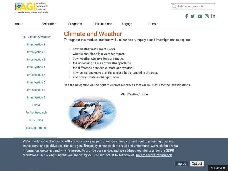
American Geosciences Institute: Climate and Weather
Eight hands-on lessons module in which students explore climate and weather. Inquiry-based investigations include observing weather, weather reporting, weather maps, weather satellites, causes of weather, and climate change.
University of Wisconsin
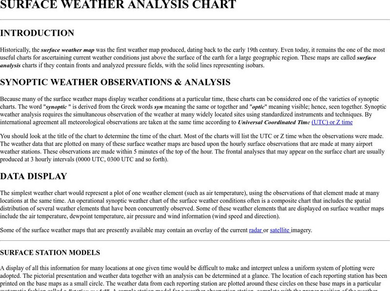
Atmospheric and Oceanic Sciences: Surface Weather Analysis
Explains the use of synoptic weather analysis in preparing weather maps and forecasting. Discusses the use of symbols as well.
Other
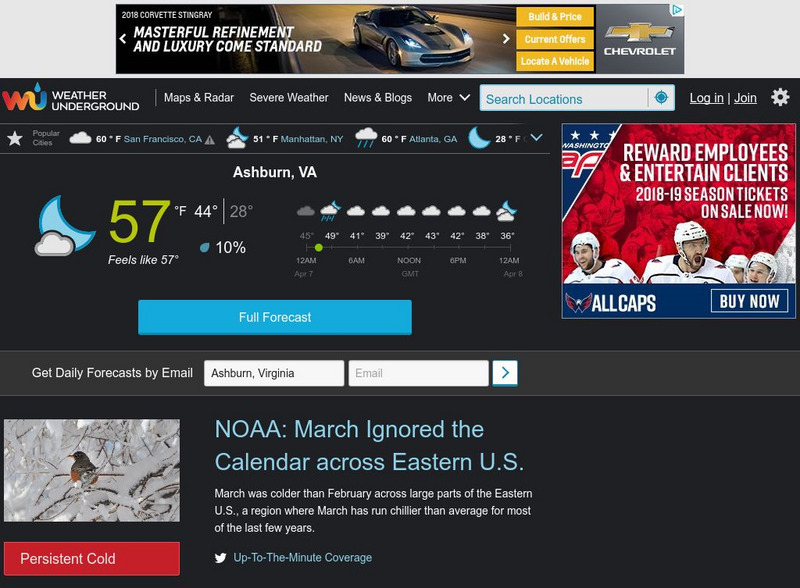
The Weather Company: The Weather Underground
Source of weather maps, forecasts, images, and data for the world. Maps include temperature, radar, visibility, wind, heat index, wind chill, humidity, and dew point.
Science Struck
Science Struck: A List of All Weather Symbols and Their Meanings
Provides a comprehensive list of weather symbols used on weather maps.
National Weather Service
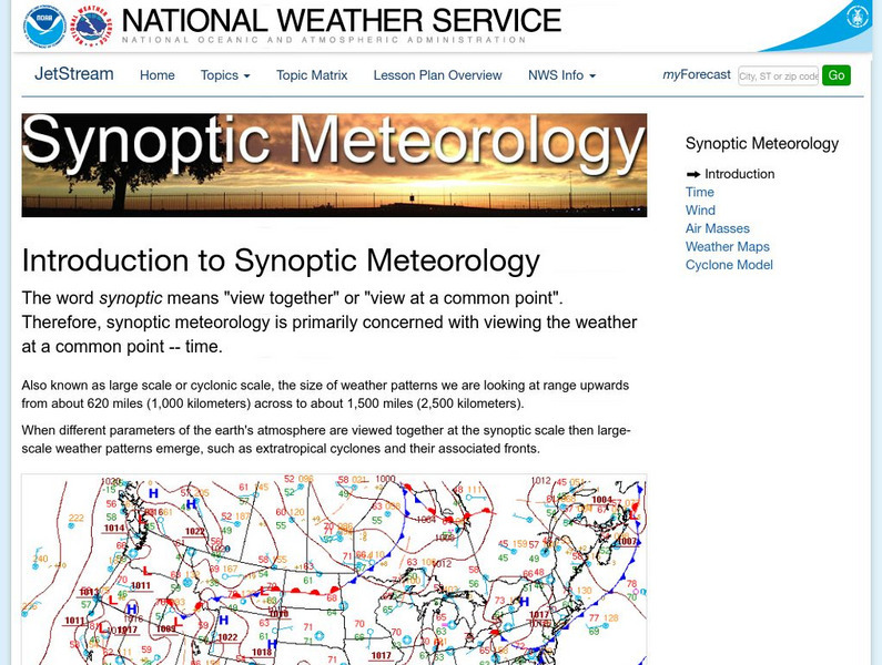
National Weather Service: Jetsream: Synoptic Meteorology
The National Weather Service presents this site on synoptic meteorology, large-scale weather systems. Learn about the structure and behavior of the atmosphere, including clouds, precipitation, winds and more. Also includes learning...
Other
Digital Library for Earth System Education: Teaching Box: Essentials of Weather
A suite of lessons focusing on the basic elements of climate and weather. Inquiry-based exploration of extreme weather events and the factors of weather including clouds, wind, air pressure, temperature, and the water cycle.
Center for Innovation in Engineering and Science Education, Stevens Institute of Technology
Ciese Real Time Data Projects: Weather Scope: A Study of Weather and Climate
Use real-time data to study factors that affect weather and climate, create weather instruments, and share data with students around the world.
PBS
Pbs Learning Media: A Look at Weather Factors: Interactive Lesson
Students learn about four factors that describe different types of weather -- temperature, wind, precipitation, and sunlight and clouds -- as they explore various weather conditions and find evidence that describes each type of weather...
TeachEngineering
Teach Engineering: Stormy Skies
Students learn that wind and storms can form at the boundaries of interacting high and low pressure air masses. They learn the distinguishing features of the four main types of weather fronts (warm fronts, cold fronts, stationary fronts...
Wikimedia
Wikipedia: Weather Front
This Wikipedia site tells all about weather fronts, or boundaries between two air masses with differing characteristics. Includes many hyperlinked terms to additional information on related subjects.
E-learning for Kids
E Learning for Kids: Antarctica: Penguins: What Are the Different Aspects of the Weather?
For this lesson, students learn about the different types of weather and the factors that impact them, including air pressure, humidity, sun and wind.
Math Graphs
Houghton Mifflin: Math Graphs: Direction and Vectors 3 [Pdf]
Students use a weather map to determine the points where the wind speed is the greatest. The resource consists of an enlarged printable version of a weather map available in PDF format.
Curated OER
Forecast Map
The National Weather Service presents this site on synoptic meteorology, large-scale weather systems. Learn about the structure and behavior of the atmosphere, including clouds, precipitation, winds and more. Also includes learning...
PBS
Pbs: El Nino
You can link to the anatomy of El Nino, chasing El Nino, and El Nino's reach. There is a resource page and a search page.
University of California
Earthguide: El Nino: Illustrating the Concept
Do you know what happens during a typical El Nino? This overview provides a description, characteristics, and animated maps showing sea surface temperature changes during past El Nino events.
NASA
Nasa: Hurricanes
Learn about hurricanes and how they are created. Features include video animation, the histories of the most devastating hurricanes and topics such as hurricane naming and hurricane study.


