Hi, what do you want to do?
Utah Education Network
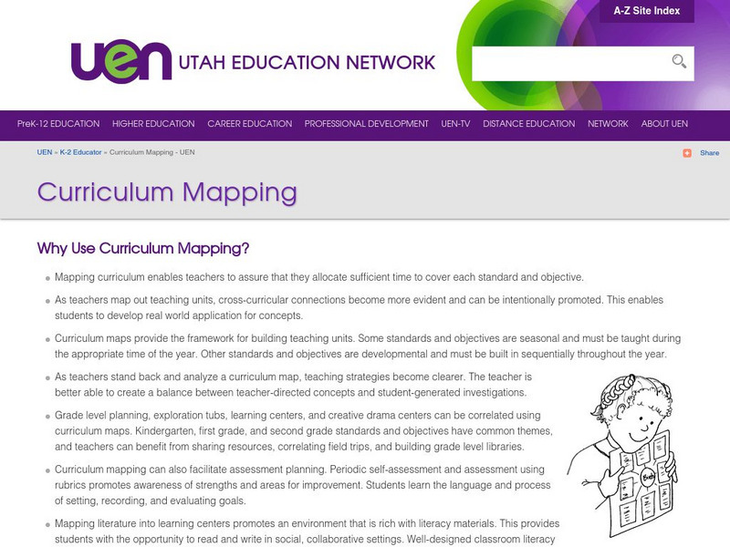
Uen: Curriculum Mapping
Discover more about curriculum mapping when you visit this informative site. Teachers will gain a better understanding of curriculum mapping through this resource.
PBS
Pbs Learning Media: Arthur: Around the Block Activities
Explore how people are alike and different in these ARTHUR activities. From interviewing classmates to establishing local pen pals to creating neighborhood maps, the activities will help children understand and appreciate what we share...
Microsoft
Microsoft: Map Reading in the 21st Century
Students learn how to make informed use of new digital mapping information and tools. Learners create hands-on learning experiences for understanding the relevance of maps. The lesson plan consists of student activities, resources,...
US Geological Survey
U.s. Geological Survey: Real Time Earthquake Map
An interactive, real-time map showing current earthquakes happening all over the world. Students may choose options for which earthquakes to display by age, depth, magnitude, or intensity.
Other
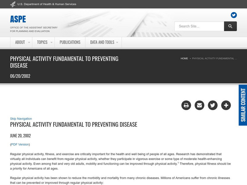
Hhs: Physical Activity Fundamental to Preventing Disease
Here, read statistics from the US Department of Health and Human Services concerning exercise and its key role in preventing chronic illness and premature death. Use these findings from medical studies in which diseases were studied in...
US Geological Survey
United States Geological Survey: Topographic Maps
"Note: The information on this page is being retained for technical and historical reference only. The site is not under active maintenance and may include expired information and outdated links." This site gives an overview of the...
US Geological Survey
Us Geological Survey: Gulkana Glacier
Overview and maps of the Gulkana Glacier along the south flank of the eastern Alaska Range.
US Geological Survey
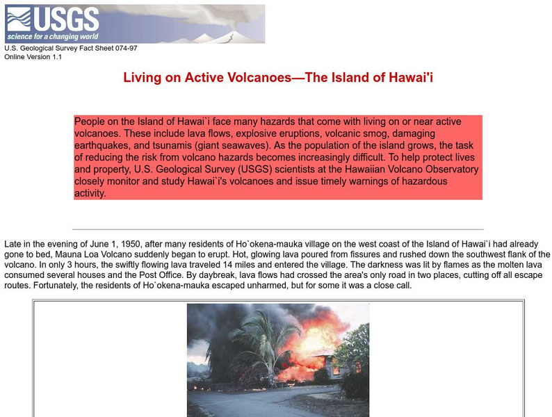
Living on Active Volcanoes on Hawaii
Living on the island of Hawaii brings you the hazard of living near a volcano. Read about actual eruptions and get scientific seismic information and maps.
Science Buddies
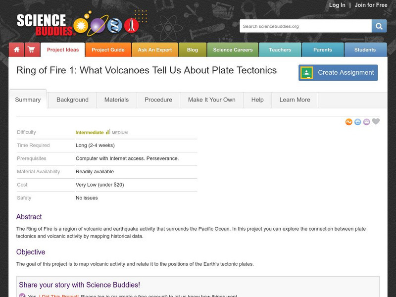
Science Buddies: Ring of Fire 1: What Volcanoes Tell Us About Plate Tectonics
The Ring of Fire is a region of volcanic and earthquake activity that surrounds the Pacific Ocean. In this project you can explore the connection between plate tectonics and volcanic activity by mapping historical data.
National Council of Teachers of Mathematics
Nctm: Figure This: How Many Colors of States Are on a Us Map
Try this data collection and analysis math challenge on map coloring. An interesting approach to analyzing complex data. This one page activity is part of the NCTM Math Challenges for Families collection.
Texas Instruments
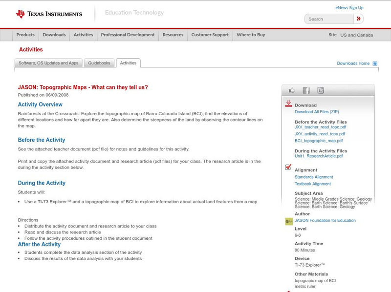
Texas Instruments: Jason: Topographic Maps What Can They Tell Us?
Rainforests at the Crossroads: Explore the topographic map of Barro Colorado Island (BCI); find the elevations of different locations and how far apart they are. Also determine the steepness of the land by observing the contour lines on...
Other
Submarine Cable Map 2014
This resource includes details of the world's submarine cables and shows us where the underwater internet is headed in the future. Location and direction of 44 cable vessels (as of December 6, 2013) are provided. Depicts 285 cable...
Alabama Learning Exchange
Alex: Don't Get Lost in Story Writing: Follow the Map!
In this instructional activity, teachers will guide the students, as a group, through the process of writing a meaningful story using a story map. First the teacher will review the parts that make up a successful story. Then, the...
TeachEngineering
Teach Engineering: Topo Map Mania!
Maps are designed to allow people to travel to a new location without a guide to show the way. They tell us information about areas to which we may or may not have ever been. There are many types of maps available for both recreational...
US Geological Survey
Us Geological Survey: Glaciers Help Shape Mount Rainier
Description, facts, maps and history of Mt. Rainier, in Washington State. Also links to recent research and publications.
A&E Television
History.com: The States
Learn unique facts about each American state. You can also read a more in-depth history of each state, watch videos and play a game about all the states.
National Geographic
National Geographic: Mapping u.s. Watersheds
Students will identify and explore major rivers and watersheds in the United States.
San Diego State University
Sdsu College of Education: Westward Movement
A group of organized lessons provides ideas for teachers when planning a unit on westward expansion in the US. Some activities include planning what to pack in your wagon, learning what obstacles were faced, mapping, and more.
US Geological Survey
Us Geological Society: Hawaiian Volcanoes
This is an online book about Hawaiian volcanoes. You can learn about the past, present and future of the Hawaiian volcanoes.
US Geological Survey
Usgs: Earth Surface Dynamics (Research Activities)
This site from USGS provides several activities to help understand the interrelationships among earth surface processes, ecological systems, and human activities. Also included are links to new findings and programs concerning Earth...
Curated OER
National Park Service: The Battle of Guilford Courthouse
An excellent description of the Battle of Guilford Courthouse links to maps, photographs, and original source documents and instructional activity plans.
Curated OER
National Park Service: Great Smoky Mountains
Visit "America's Most Visited National Park. "Provides maps, weather, and park activities.
Curated OER
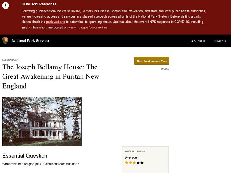
National Park Service: Joseph Bellamy House: The Great Awakening in New England
This site describes the influence of the Reverend Joseph Bellamy and religion in 18th century colonial life. This lesson plan has excellent information, an inquiry question, historical context, maps, readings, images, and activities.
US Geological Survey
Usgs: Water Science Glossary of Terms
The United States Geological Survey offers a complete look at water science in glossary form. Take advantage of the topic guides at the top of the site. You'll find great maps, clipart and activities centers. Click Home to access the...


