Smithsonian Institution
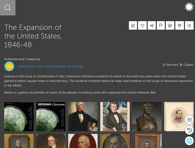
Smithsonian Learning Lab: The Expansion of the United States, 1846 48
This online lesson plan shows students through primary sources how the borders of the U.S. changed in just a few years. They are asked to analyze maps and use map skills. All maps and worksheets are included as well as additional resources.
University of Texas at Austin
Ut Library Online: Historical Maps of the United States
This extensive collection of Historical United States maps from the University of Texas Library Online cover early inhabitants, exploration and settlement, territorial growth, military history, and later historical maps. These maps are...
US Mint
United States Mint: In Mr. Lincoln's Shoes [Pdf]
Using the study of President Abraham Lincoln as a guide, students demonstrate basic map skills including cardinal directions and how to use a compass rose.
A&E Television
History.com: The States
Learn unique facts about each American state. You can also read a more in-depth history of each state, watch videos and play a game about all the states.
Annenberg Foundation
Annenberg Learner: United States History Map: The Nation Expands
After examining a map showing the expansion of the United States, click to read about each addition to the country and see where that addition is. Play Expansion Concentration to test your skills.
Lizard Point Quizzes
Lizard Point: Western Usa: States Quiz
Test your geography knowledge by taking this interactive quiz over the western United States.
Annenberg Foundation
Annenberg Learner: United States History Map: Colonists
Use these interactive maps to see and read about the colonization of the New World by several European nations. When you are finished looking at the maps, test your skills with the European Colonies Challenge.
Annenberg Foundation
Annenberg Learner: Us History Map Assessment: Test Your Skills
Test how much you know about major U.S geographic features, Indian tribes, states and regions, European colonists and territorial expansion. View your correct and incorrect answers, and print out your assessment.
Other
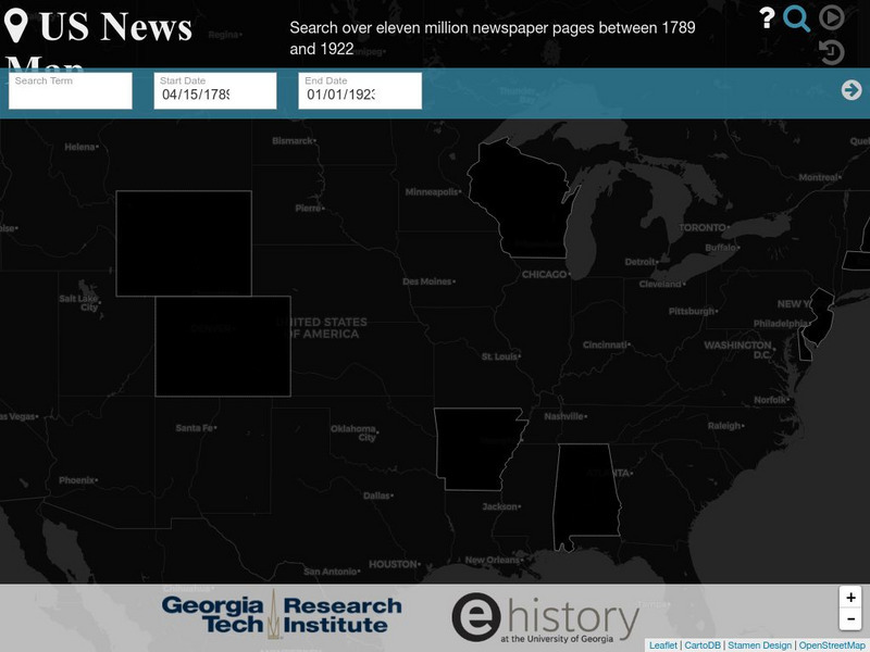
Georgia Tech Research Institute: Chronicling America: Us News Map
A fascinating way to look at history, this interactive map lets you search for a person, event, issue, etc. over a specified time frame and it maps newspapers containing related content onto a map of the United States. An additional...
National Council of Teachers of Mathematics
Nctm: Illuminations: State Data Map
Data can be displayed in a variety of ways. This interactive map of the United States shows data by degrees of color. Choose to display data such as: land area, population, population density, gas use, and much more.
Lizard Point Quizzes
Lizard Point: Mexico: Federal States Quiz
Try this interactive geography quiz which tests your knowledge about the federal states of Mexico.
Ducksters
Ducksters: United States Geography for Kids: New Hampshire
Kids learn facts and geography about the state of New Hampshire including symbols, flag, capital, bodies of water, industry, borders, population, fun facts, GDP, famous people, and major cities.
Scholastic
Scholastic: Hunting for States, Capitals, and National Parks! [Pdf]
Students can use a map of the United States to locate state capitals and national parks.
Curated OER
Educational Technology Clearinghouse: Maps Etc: United States, 1888
A map from 1888 of the United States showing state boundaries and state capitals, major cities and towns, mountain systems, lakes, rivers, and coastal features. Longitude from Greenwich is shown at the top of the map, and from Washington...
Curated OER
Educational Technology Clearinghouse: Maps Etc: Drawing the United States, 1872
A map skills exercise from 1872 showing the drawing of the United States with proportional measurements. The map shows state and territory boundaries at the time (Dakota, Montana, Washington, Idaho, Wyoming, Utah, Oklahoma, New Mexico,...
Digital Dialects
Digital Dialects: Geography Games: States of the Usa
Study a map showing the states in the USA, and then try to match their names to their locations on a blank map.
Other
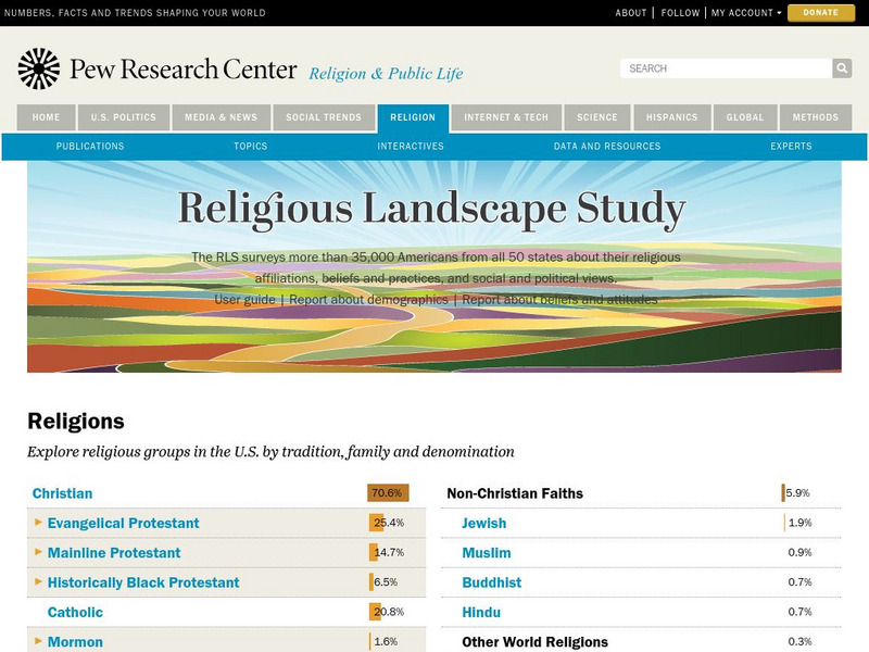
Pew Forum on Religion and Public Life: u.s. Religion Landscape Survey
Website summarizing the results of a survey on religion in the U.S. Contains maps and charts of information for each specific religion as well as bar graphs comparing the deomographics of the different religious groups. Two full reports...
PBS
Pbs Learning Media: Library of Congress: Media Gallery | Women's Suffrage
This collection of primary source documents from the Library of Congress supports teaching about women's suffrage in the United States. These primary sources include images, song sheets, articles, statistical documents, maps, political...
Other
The Korean War: History
Contains in-depth information about the Korean War. Includes links to Korean War maps, a Korean War timeline, sites discussing the battles of the war, weapons used in the Korean War, and a photo documentary of the war.
Other
Eastern Illinois Univ.: Childhood Lost: Child Labor During Industrial Revolution
A unit on child labor during the Industrial Revolution. The focus is on using primary resources to learn about this issue and this time in American history. Includes many images and documents. The unit is cross-curricular with activities...
Georgia Department of Education
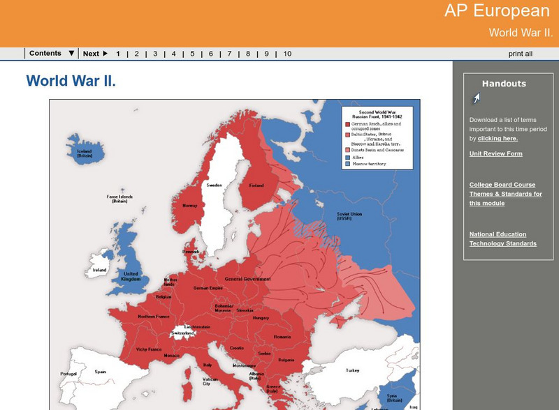
Ga Virtual Learning: Ap European: World War Ii
AP European History learning module on World War II traces the beginnings of the war from a dissillusioned Europe through the course of the war. Module includes assignments, enrichment activities, downloads, maps and assessment for...
US Holocaust Memorial Museum
U.s. Holocaust Memorial Museum: Jewish Parachutists From Palestine
The U.S. Holocaust Memorial Museum features the Jewish Parachutists from Palestine who volunteered to join the British Army. Describes their role in organizing resistance to the Germans and aiding in the rescue of Allied captives....
Curated OER
Educational Technology Clearinghouse: Maps Etc: Forest Regions, 1898
A map from 1898 of the United States showing the forest regions in the contiguous 48 states. "Fully one third of the timber cut in the world each year comes from the forests of the United States. Indeed, lumbering is carried on so...
Other
Letter People Geography
Mr. X of the Letter People has disappeared in one of the 50 U.S. States. You must use your U.S. geography skills to help track him down.

![United States Mint: In Mr. Lincoln's Shoes [Pdf] Lesson Plan United States Mint: In Mr. Lincoln's Shoes [Pdf] Lesson Plan](https://d15y2dacu3jp90.cloudfront.net/images/attachment_defaults/resource/large/FPO-knovation.png)




![Scholastic: Hunting for States, Capitals, and National Parks! [Pdf] Activity Scholastic: Hunting for States, Capitals, and National Parks! [Pdf] Activity](https://content.lessonplanet.com/knovation/original/480522-367e1f79d58efef695e5c826460eaadd.jpg?1661587497)

