Johns Hopkins University
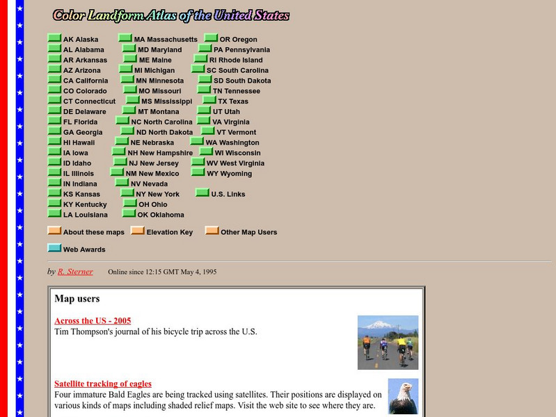
John Hopkins University: Color Landform Atlas of the u.s.
This site from John Hopkins University provides detailed maps of and physical information on each of the 50 states. Maps range from relief maps to satellite images, to historical maps.
National Council of Teachers of Mathematics
Nctm: Illuminations: State Data Map
Data can be displayed in a variety of ways. This interactive map of the United States shows data by degrees of color. Choose to display data such as: land area, population, population density, gas use, and much more.

