New York State Education Department
TASC Transition Curriculum: Workshop 11
You'll C-E-R a difference in classroom achievement after using a helpful instructional activity. Designed for economics, civics, government, and US history classes, participants practice using the CER model to craft arguments about...
US Census Bureau
U.s. Census Bureau: Gazetteer Files
The U.S. Gazetteer Files provide a listing of all geographic areas for selected geographic area types. The files include geographic identifier codes, names, area measurements, and representative latitude and longitude coordinates. There...
ABCya
Ab Cya: u.s. States and Capitals: Penguin Hop
Don't slip on the ice! Up to four students at a time will drill states and capitals with this engaging game of penguins hopping on icebergs. Right and wrong answers are tallied and provided at the end of the game.
PBS
Pbs Kids: Where's Buster?: A u.s. Geography Game About the States
Develop map and directional skills as well as skills in following a series of clues to find which U.S. state Buster is in.
US Census Bureau
U.s. Census Bureau: Geography Topics
Geographical information from the U.S. Census Bureau: Maps and Mapping resources, Census Tract Resources, Geographic Programs, Reference Resources, and more.
A&E Television
History.com: The States
Learn unique facts about each American state. You can also read a more in-depth history of each state, watch videos and play a game about all the states.
University of Texas at Austin
Perry Castaneda Library Map Collection: u.s. Maps
At this site find any type of map on the U.S. and any of its states here. Great site for teachers to print out maps to use in the classroom.
US Geological Survey
U.s. Geological Survey
The U.S. Geological Survey reports on the latest news affecting the earth today, as well as providing a wealth of data, reports, and information.
Lizard Point Quizzes
Lizard Point: u.s.a.: State Capitals Quiz
Test your geography knowledge by taking this interactive quiz over the state capitals of the United States.
Teacher Oz
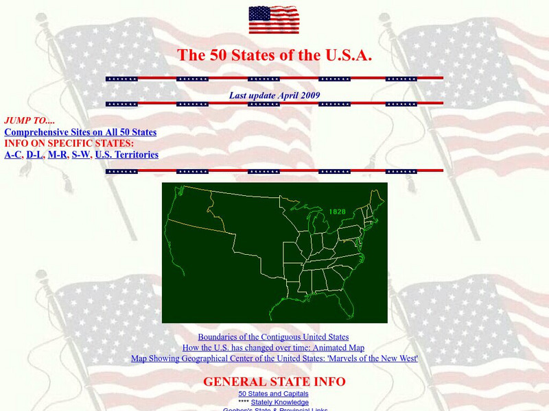
Teacher Oz: 50 States of the u.s.a.
A site with information such as maps, flags and songs of each of the 50 states in the US.
US Department of State
U.s. Dept. Of State: u.s. Relations With Chile
Provides information about the relationship between the United States and Chile. Additional information about the country is available through the links at the bottom of the page.
Johns Hopkins University
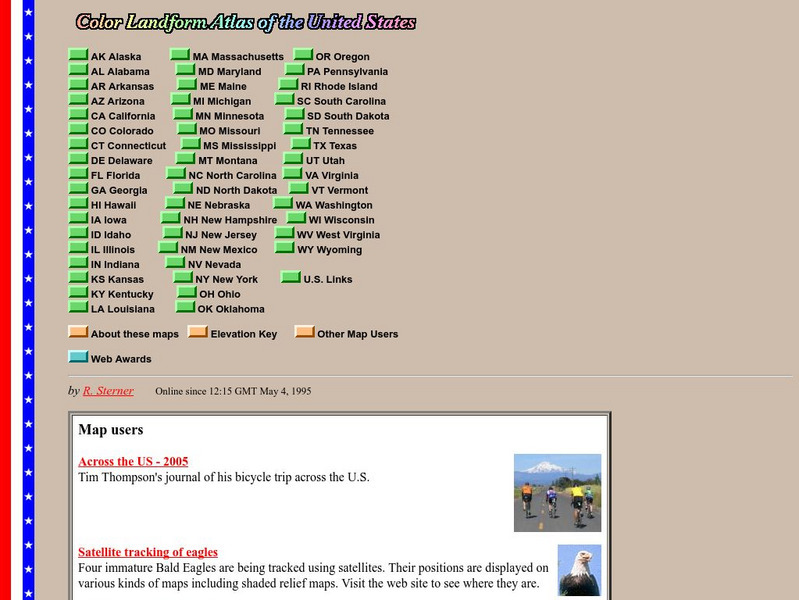
John Hopkins University: Color Landform Atlas of the u.s.
This site from John Hopkins University provides detailed maps of and physical information on each of the 50 states. Maps range from relief maps to satellite images, to historical maps.
Discovery Education
Discovery Education: u.s. Geography: The Midwest
A great activity for researching the geography of the Midwest States. Includes specific instructions, vocabulary, evaluation tips, and academic standards.
US Department of State
U.s. Department of State: Aruba
The U.S. Department of State profiles the Caribbean country of Aruba covering the topics of people, geography, economy, government, politics, and foreign relations. (May 11, 2010)
Lizard Point Quizzes
Lizard Point: u.s.a.: States Quiz
Test your geography knowledge by taking this interactive quiz over the Unites States of America.
Annenberg Foundation
Annenberg Learner: u.s. History Map Interactive
Become a geography whiz as you learn how the United States was settled. Discover how the continent was irrevocably changed by European colonization, the events that caused the wholesale displacement and decimation of the land's original...
Other
National Atlas of the United States
The National Atlas of the United States provides comprehensive information collected by the Federal Government and delivered through interactive maps. Select from a variety of scientific, societal, and historical information to be...
US Census Bureau
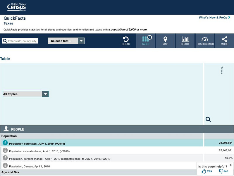
U.s. Census Bureau: State & County Quick Facts: Texas
Facts about the population demographics of Texas, categories of businesses, and basic geography.
US Department of State
Us Department of State: Archive: Argentina
The U.S. State Department provides extensive information on Argentina at this site, including data on the population, geography, government and economy. (March 2012)
PBS
Pbs Teachers: China u.s. Quiz: Test Your China Iq
Test your knowledge of Chinese and U.S. geography, government, and economics with this 13-question interactive quiz. Discover which country outdoes the other in military strength, consumer health and spending, and other similar categories.
US Census Bureau
U.s. Census Bureau: Quick Facts: Colorado
A table of current statistical information on people, businesses, and geography in Colorado and how it compares to the United States as a whole, taken from the U.S. Census Bureau.
ABCya
Ab Cya: Geography Practice: Usa Puzzle Map
Assemble a puzzle of the United States to test your knowledge of its geography.
Utah Education Network
Uen: Utah History Encyclopedia: Physical Geography of Utah
This resource provides information on the physical geography of the state.
PBS
Pbs Learning Media: 50 States Part 2 Lesson Plan
In this lesson, learners combine psychomotor skills and geography as they travel from Montana to Wyoming. As students travel from state to state, they learn regional facts and state capitals. Learners perform physical tasks highlighting...


