PBS
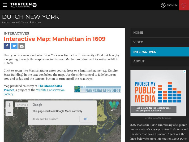
Wnet: Thirteen: Interactive Map: Manhattan in 1609: Dutch New York
Explore Dutch New York through this historical interactive map and learn what wildlife, landscape, and people lived there in 1609 compared with today. Click on 'Interactives' for additional resources, e.g., a 1626 letter from Peter...
Other
Civics Online: Map of the 13 Colonies
This colorful map depicts the original thirteen colonies as well as the rest of the eastern part of America, showing the owners of the land at that time.
PurposeGames
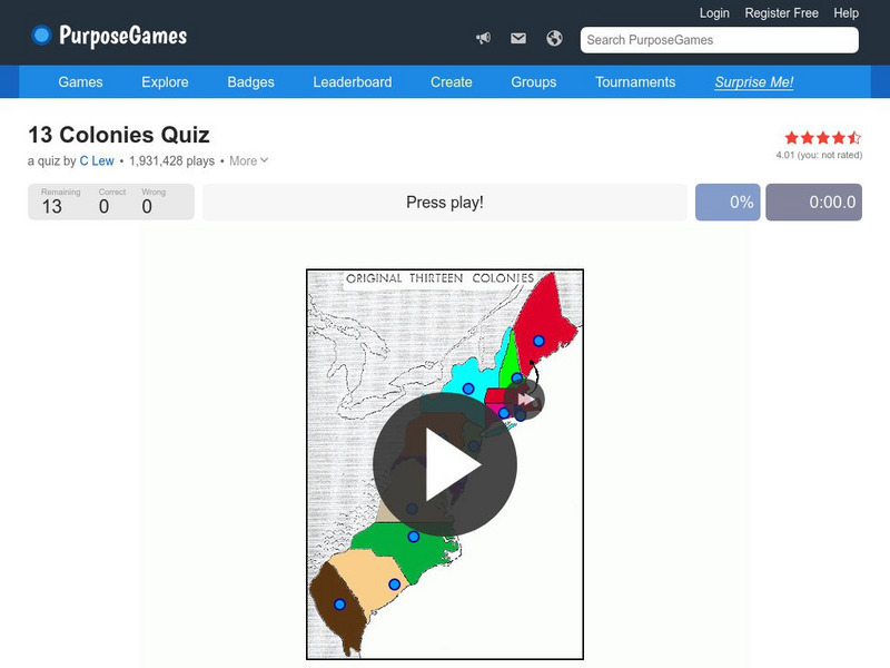
Purpose Games: Can You Identify the 13 Original Colonies of the Usa?
Play this interactive game to test your knowledge of the original thirteen colonies. Can you find them on a map?
University of Georgia
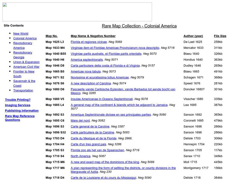
University of Georgia: Rare Map Collection: Colonial America
An extensive collection of original maps drawn during the colonial period of United States history.
ClassFlow
Class Flow: Thirteen Colonies
[Free Registration/Login Required] This flipchart includes information and maps of the original thirteen colonies and describes the characteristics of the three regions involved-- Northeast, Middle and Southern. Questions to check for...
ClassFlow
Class Flow: Thirteen Colonies
[Free Registration/Login Required] This flipchart discusses the characteristics and lifestyle of the original thirteen colonies. Interactive maps, graphic organizers and student assessment items are included.
SMART Technologies
Smart: Thirteen Colonies
Students will drag the name of each colony onto the map. Then drag the color coded stars to the New England, Middle, and Southern Colonies. Lastly, they will drag the important events to the colony in which it happened.
ClassFlow
Class Flow: 13 Colonies Map
[Free Registration/Login Required] This flipchart reviews the composition of the thirteen original colonies and asks students to identify the colonies on a map.
Curated OER
Educational Technology Clearinghouse: Maps Etc: The Thirteen Colonies , 1776
A map of the thirteen colonies at the outset of the American Revolutionary War, showing major cities and towns, the Great Lakes, mountains, rivers, and coastline.
Curated OER
Etc: Maps Etc: The Thirteen Colonies at the End of the Colonial Period, 1774
A map of the British Thirteen Colonies at the end of the colonial period in 1774. The map shows the boundaries of the colonies and notes the uncolored territory east of the Mississippi and south of the Great Lakes as claimed by Georgia,...
Library of Congress
Loc: Teachers: Geography and Its Impact on Colonial Life
Beginning with a discussion on how people adapt to or relocate to environments, this lesson encourages students to explore why the Colonists settled in specific regions. In groups, students examine primary documents, analyzing Colonists'...
ClassFlow
Class Flow: The 13 Colonies
[Free Registration/Login Required] This flipchart provides an overview of the original 13 colonies, including information about the individual colonies, fun facts, an interactive quiz and maps.
George Mason University
Chnm: Differences Among Colonial Regions
Students will explore the differences among the three colonial regions of New England, Mid-Atlantic/Middle, and the Southern colonies. In small groups for each region, students will observe and note details of pictures, maps, and...
Curated OER
Etc: The Colonies During the Revolutionary War, 1775 1783
A map of the Thirteen Colonies during the American Revolution. The map shows the territorial claims west of the Allegheny Mountains, and includes inset maps detailing the vicinity of Philadelphia, the vicinity of Boston, and the vicinity...
Curated OER
Educational Technology Clearinghouse: Maps Etc: Eastern North America, 1812
A map of eastern North America in 1812 subtitled 'The War of Independence and the War of 1812-1814.’ The map is color-coded to show the territories of the original thirteen colonies, the territory to the west that was ceded to the...
Curated OER
Etc: Maps Etc: Second Continental Congress, 1775
A map of the thirteen colonies during the Second Continental Congress held in Philadelphia in 1775, showing the number of delegates from each of the colonies.
Curated OER
Educational Technology Clearinghouse: Maps Etc: Rhode Island, 1898
A map from 1898 of Rhode Island, "One of the thirteen original States and smallest in the Union; supposed temporary settlement of Icelanders as early as 1000. Settled by Roger Williams at Providence 1636. Island of Aquidneck (Rhode...
Curated OER
Etc: Maps Etc: Accessions to the Principal of Independence, 1776
A map of the Thirteen Colonies color-coded to show the accessions to the principal of Independence before July 2, 1776. The map shows when the colonial delegates to the Continental Congress were instructed to vote on the Declaration of...
Curated OER
Educational Technology Clearinghouse: Maps Etc: The United States, 1900
A map from 1900 of the United States showing the territorial expansion from the original Thirteen Colonies to the states and territories of 1900. The map is color-coded to show the original states, states admitted between 1791 and 1860,...
Curated OER
Educational Technology Clearinghouse: Maps Etc: The United States, 1890
A map from 1890 of the United States showing the territorial expansion from the original Thirteen Colonies to the states and territories of 1890. This map shows state capitals, railroads, lakes, and rivers. The map is color-coded to show...
Curated OER
Educational Technology Clearinghouse: Maps Etc: The State of Ohio, January 1804
After the French and Indian War, France ceded control of the Northwest region including Ohio to Great Britain. With American independence, Ohio became a part of the Northwest Territory, the first organized land addition to the original...
University of Groningen
American History: Outlines: The Colonial Period
The early settlers to the New World began to map strategy for their own system of government. This site details that strategy and what kinds of events spawned the idea of representative government.
Curated OER
Etc: Maps Etc: Land Claims of the Colonies, 1783
A map of eastern North America showing the land claims of the thirteen original states in 1783, from the Atlantic coast west to the Mississippi River. The map notes that New York claimed all the lands west of the Alleghany mountains....
Curated OER
Educational Technology Clearinghouse: Maps Etc: North American Colonies, 1783
A map of eastern North America in 1783 at the end of the American Revolutionary War, showing the territory of the newly formed United States as proposed by the Treaty of Paris, the Canadian border extending to the Ohio River proposed by...
Other popular searches
- Map of Thirteen Colonies
- Blank Thirteen Colonies Map
- Thirteen Colonies Map Making
- Thirteen Colonies Map Skills
- Map of the Thirteen Colonies
- Thirteen Colonies Map Quiz
- Thirteen Colonies Mapmaking
