University of Wisconsin
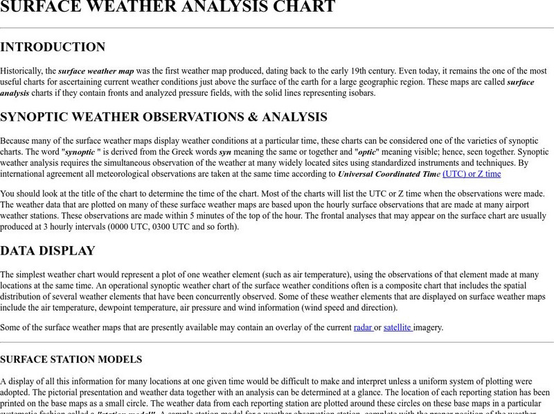
Atmospheric and Oceanic Sciences: Surface Weather Analysis
Explains the use of synoptic weather analysis in preparing weather maps and forecasting. Discusses the use of symbols as well.
NASA
Nasa Earth Observatory: Global Maps: Land Surface Temperature
View a global map from NASA's Earth Observatory that shows land surface temperature from February 2000 to November 2008. Learn how land surface temperature is measured and monitored.
TeachEngineering
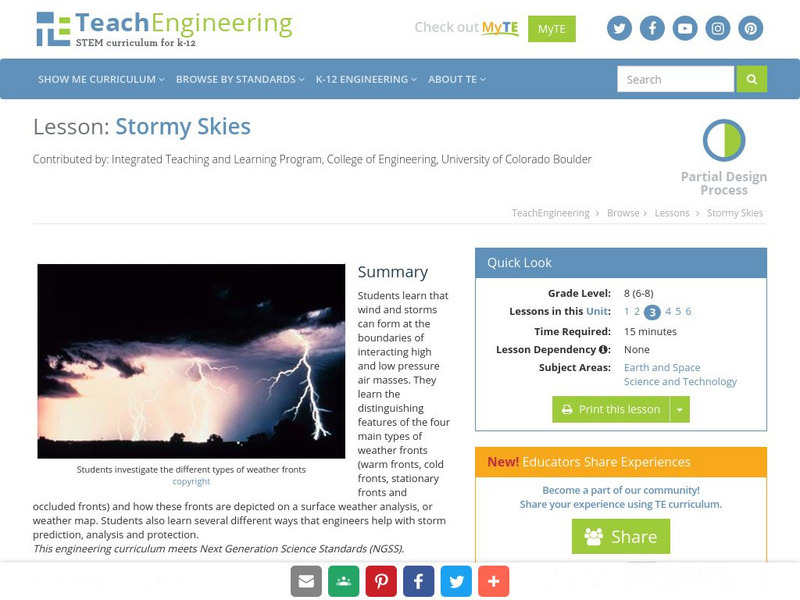
Teach Engineering: Stormy Skies
Students learn that wind and storms can form at the boundaries of interacting high and low pressure air masses. They learn the distinguishing features of the four main types of weather fronts (warm fronts, cold fronts, stationary fronts...
NASA
Nasa Earth Observatory: Global Maps: Sea Surface Temperature
This global map from NASA's Earth Observatory shows the sea surface temperature from July 2002 to October 2008. Learn the influences that sea surface temperature has on climate and weather.
National Weather Service
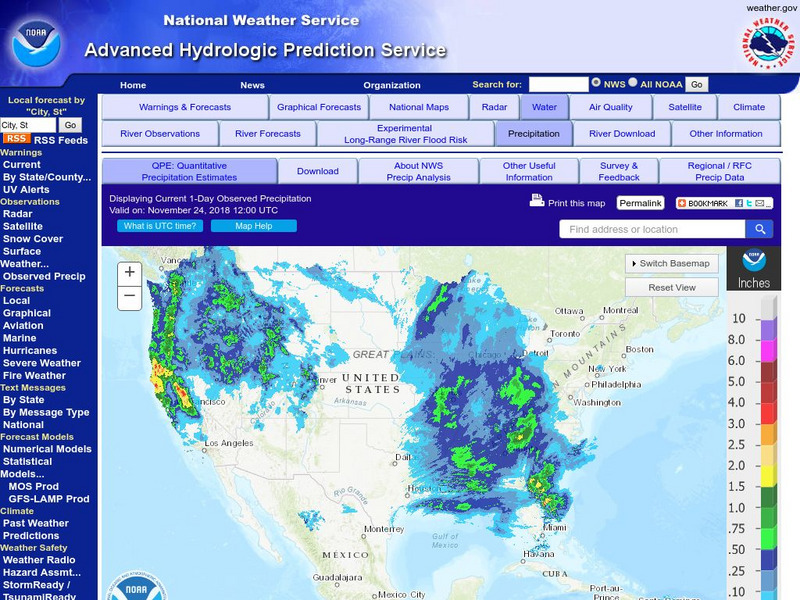
National Weather Service:climate Prediction Center: Daily Precipitation Analysis
Find real-time daily precipitation analysis for the United States, Mexico, and South America as well as accumulated precipitation maps for the past 30 or 90 days.
Dan Satterfield
Dan's Wild Weather Page: Forecasting
Find out about the art and science of forecasting at this site from Dan's Wild Weather Page.
ClassFlow
Class Flow: Tornados in the Us
[Free Registration/Login Required] Overview: In this lesson, students will learn the basics about how tornadoes are formed, and when and where they are most likely to occur. They will learn that the United States is the country most...
University of California
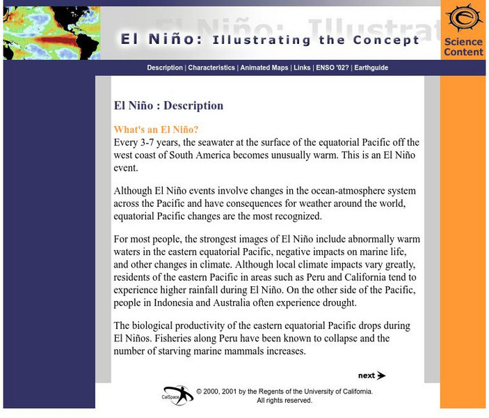
Earthguide: El Nino: Illustrating the Concept
Do you know what happens during a typical El Nino? This overview provides a description, characteristics, and animated maps showing sea surface temperature changes during past El Nino events.


