PBS
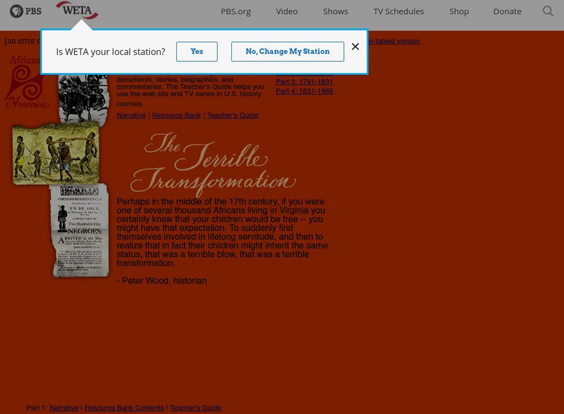
Pbs: Africans in America
PBS offers a four-part series on the plight of African Americans from slave days to the end of the Civil War. Resources such as interactive maps, a Resource Bank, and Teacher's Guide are available.
PBS
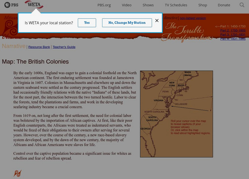
Africans in America: Map of the British Colonies
Map of British Colonies and information from PBS on slavery from about 1600 to 1750. Some timelining of African American's lives in the New World.
PBS
Pbs Learning Media: The Abolitionist Map of America
Through an interactive map, tours, documents, images, and videos, explore the account of the abolitionist movement in America.
Digital Public Library of America
Dpla: Torn in Two: Mapping the American Civil War
This exhibition tells the story of the American Civil War both nationally and locally in Boston, Massachusetts, through maps, documents, letters, and other primary sources.
Other
Vox: 37 Maps That Explain the American Civil War
April 1865 was a momentous month in American history. On April 9, the Confederate army under Robert E. Lee surrendered to the Union forces of Ulysses S. Grant, effectively ending the Civil War. Then on April 14, the victorious President...
Library of Congress
Loc: The African American Odyssey: A Quest for Full Citizenship
Online exhibit from the Library of Congress explores black America's quest for equality from the early national period through the twentieth century. Exhibit contains a wealth of items including books, government documents, manuscripts,...
Curated OER
Etc: Maps Etc: Freedom and Slavery in the Early United States, 1790
A map of the United States and territories east of the Mississippi River in 1790, showing the areas of freedom and slavery at the time, including the territory of the Northwest, free by the Ordinance of 1787.
National Humanities Center
National Humanities Center: Toolbox Library: Triumph of Nationalism: America, 1815 1850: Religion
A collection of nine primary resources including historical documents, literary texts, visual images, and maps illuminated and contextualized by notes, thematic questions, and text-specific discussion questions for classroom instruction...
Huntington Library
Huntington Library: Triangular Trade
In this lesson plan, 5th graders learn about the many societal structures that developed in colonial days, including the conditions for self-government in America, the free-market economy, and the slavery system. Background information...
National Humanities Center
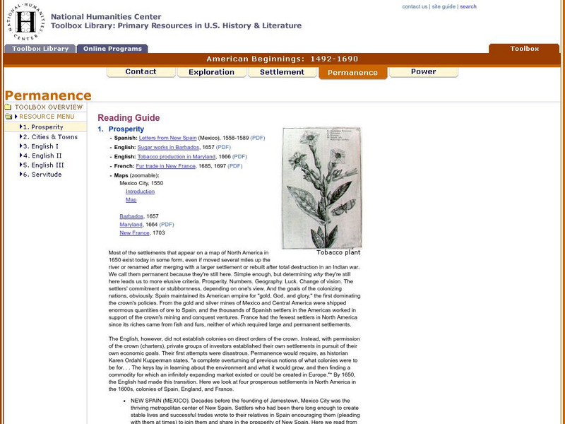
National Humanities Center: Toolbox Library: Prosperity, American Beginnings: 1492 1690
Four original source accounts, and four related maps, of successful English, French, and Spanish settlements in North America and the Caribbean that explain the qualities of these settlements and their reasons for permanence and prosperity.
National Humanities Center
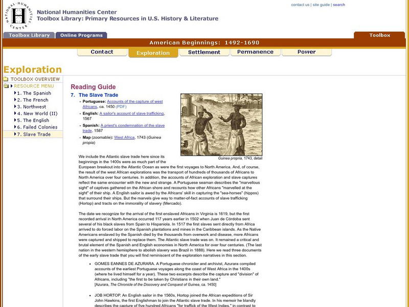
National Humanities Center: Toolbox Library: Slave Trade, American Beginnings: 1492 1690
A West African map and three accounts of the development of slave acquisition display the process and the brutality of the Atlantic slave trade.
BBC
Bbc News: Focus on the Slave Trade
BBC News offers a short summary of the slave trade from Africa to the Americas. Gives statistics on the number of slaves (estimated at 10 to 28 million), where they went, and the cruel conditions of their enslavement.
Curated OER
Educational Technology Clearinghouse: Maps Etc: Northwest Territory, 1795
The Ohio Valley and Great Lakes region after the French and Indian War (1754-1763). The Northwest Ordinance of 1787 was the first organization of land in the United States after the first 13 colonies. This ordinance set the important...
