Texas Instruments
Texas Instruments: Relative Position and Velocity
This activity is designed to assess the comprehension of concepts related to relative position and velocity.
US Geological Survey
Alaska Volcano Observatory: Current Volcanic Activity in Alaska
Current activity among Alaska's volcanoes is reported at this detailed site. Kamchatka Peninsula's volcanoes also receive attention. Location of active and dormant volcanoes are plotted, images of activity are regularly updated via...
PBS
Pbs Nova Online: Lost at Sea the Search for Longitude
"The quest for a reliable method to find your way at sea was one of the thorniest problems of the 1700s." Find out about the search for longitude at this NOVA site. Includes interactive Shockwave game, learning activities and more.
PBS
Pbs Learning Media: Fresh Pick Challenge: Lunch Counter
Help children create a simple lunch counter where they can learn about dollars and cents and sharpen their business skills at the same time. This activity will help them learn coin values, count by fives and tens, and practice simple...
McREL International
Mc Rel: Whelmer #9 Learning Activity: Nickel Karate
An easy to do activity that investigates the basic theories of inertia. The activity is in lesson plan format that meets NSES standards.
Department of Defense
Do Dea: Spanish 1: Unit 3: El Tiempo
In this third unit of an introductory Spanish course, students learn to have a written conversation with someone about the weather and their locations, to communicate about seasons, to speak about themselves, use clothing and other...
TeachEngineering
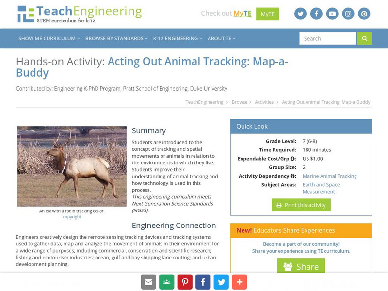
Teach Engineering: Map a Buddy
This activity serves to introduce the concept of tracking and spatial movements of animals in relation to the environment in which they live. The following activity will aid student understanding of animal tracking and how technology...
TeachEngineering
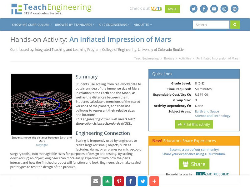
Teach Engineering: An Inflated Impression of Mars
The purpose of this activity is to use scaling in order to give students an idea of the size of Mars in relation to the Earth and the Moon as well as the distance between them. The students will have to calculate dimensions of the scaled...
TeachEngineering
Teach Engineering: State Your Position
To navigate, you must know roughly where you stand relative to your designation, so you can head in the right direction. In locations where landmarks are not available to help navigate (in deserts, on seas), objects in the sky are the...
PBS
Pbs Learning Media: Fresh Pick Challenge: Pantry Search
Put children in charge of building a pantry that Corporal Cup would be proud of. This activity will help them use direction, distance, and location, visualize placement and positioning, and describe relative positions, such as "next to,"...
National Geographic
National Geographic: The Politics of Place Naming
Students use an online geographic information system (GIS) to uncover the geographic and social context of streets named after Martin Luther King, Jr. They map street locations to identify regional patterns in honoring King, consider...
Science Education Resource Center at Carleton College
Serc: Investigating Rock Layers and Fossils to Infer Past
This activity is an inquiry-based field investigation of the sedimentary geology of Lilydale Regional Park's brickyards area, a bluff and slope location near St. Paul Minnesota's Harriet Island and Cherokee Heights Park. Students...
Texas Instruments
Texas Instruments: Transformational Puppet
This activity is designed to reinforce the concepts of reflections and translations by having the students create a virtual puppet using Cabri Jr. As they construct their puppets, students will reinforce their understanding of...
TeachEngineering
Teach Engineering: Nidy Gridy
Normally we find things using landmark navigation. When you move to a new place, it may take you awhile to explore the new streets and buildings, but eventually you recognize enough landmarks and remember where they are in relation to...
Texas Instruments
Texas Instruments: Influence and Outliers
In this activity, students will identify outliers that are influential with respect to the least-squares regression line. Students will describe the role of the location of a point relative to the other data in determining whether that...
Science Education Resource Center at Carleton College
Serc: Diversity of Life in Your Neighborhood
Students go outdoors to compare the diversity of life in two locations. Following the observations, hold class discussions on environment, diversity, kingdoms, and other related issues.
Smithsonian Institution
National Museum of the American Indian: Indigenous Geography
Indigenous Geography helps you develop key understandings on nine different dimensions as they relate to six Native communities located in the Western Hemisphere. Learn about the creation stories, place boundaries and landmarks, calendar...
Science and Mathematics Initiative for Learning Enhancement (SMILE)
Smile: The Center of Mass
This site from the Illinois Institute of Technology provides a lab activity in which students determine the location of the center of mass of an irregularly shaped object. Observations are related to the balancing point of the object....
Alabama Learning Exchange
Alex: Coordinate Geometry
Students will participate in several activities that will build their knowledge of coordinates graphing. Students will use ordered pairs to locate points on a grid. Students will also relate coordinate graphing to the real world through...
PBS
Pbs: Horizontal and Vertical Distances on the Cartesian Graph
In this interactive, students use logic and mathematical skill to place aquatic animals at locations on a Cartesian graph with cardinal directions. Then, they determine both the vertical and horizontal distances between points. The...
Enchanted Learning
Enchanted Learning: Zoom School: Canada
This site provides teachers with resources relating to the study of Canada including blackline masters, graphic organizers, and other student activity sheets. In addition, there are links to related resources that are located elsewhere...
Next.cc
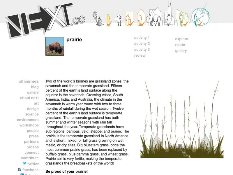
Next: Prairie
Complete these three activities to learn about prairies and where they are located. Includes links to explore related material.
Science Education Resource Center at Carleton College
Serc: Inquiry Into High Resolution Ice Core and Marine Sediment Records
Activity in which questions are provided relating to interpreting paleoclimate data such as characteristics that make sites favorable for paleoclimate records, locating sites using a map, finding patterns and correlations in the data,...
University of Georgia
University of Georgia: Inter Math: Dilation
This site defines dilation and gives an example with a diagram. There is also an interactive activity involving a JavaSketchPad page in which you can explore dilations. In addition, be sure to follow the links to related terms, more...


